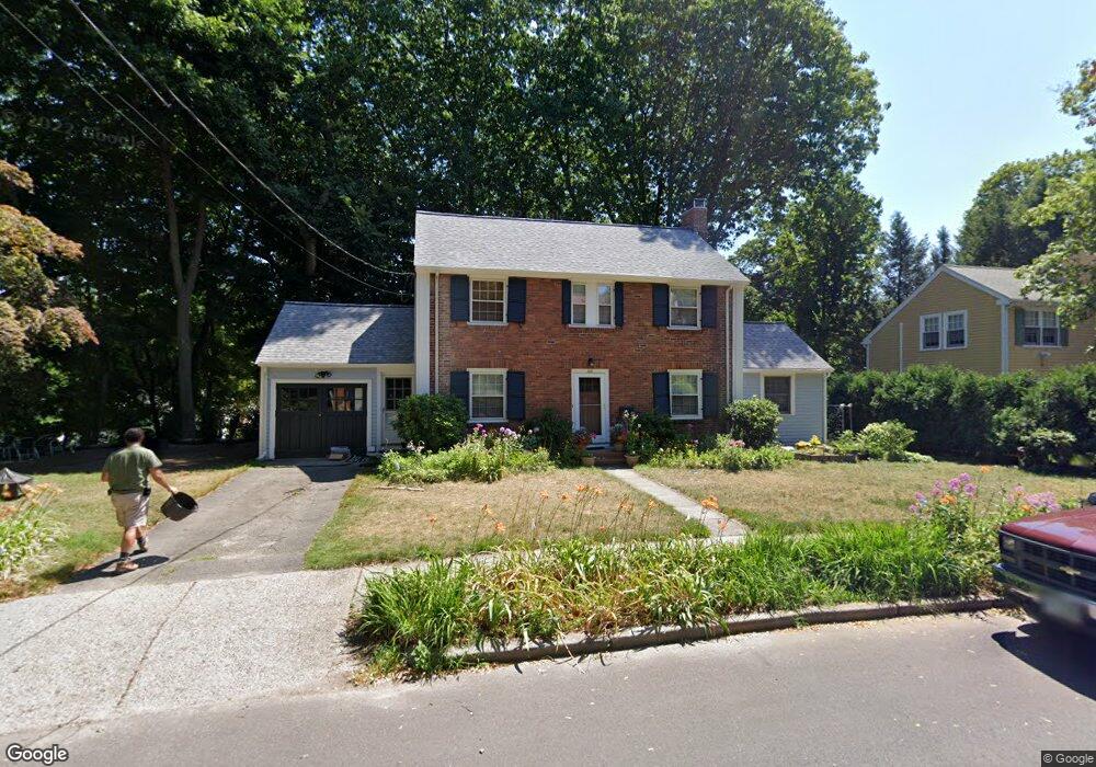
156 Kirkstall Rd Newtonville, MA 02460
Newtonville NeighborhoodEstimated Value: $1,283,000 - $1,971,000
3
Beds
2
Baths
1,804
Sq Ft
$869/Sq Ft
Est. Value
About This Home
This home is located at 156 Kirkstall Rd, Newtonville, MA 02460 and is currently estimated at $1,567,067, approximately $868 per square foot. 156 Kirkstall Rd is a home located in Middlesex County with nearby schools including Cabot Elementary School, F.A. Day Middle School, and Newton North High School.
Ownership History
Date
Name
Owned For
Owner Type
Purchase Details
Closed on
May 5, 2010
Sold by
Barrer Betty
Bought by
Yospin Matthew M and Yospin Susan
Current Estimated Value
Home Financials for this Owner
Home Financials are based on the most recent Mortgage that was taken out on this home.
Original Mortgage
$523,650
Interest Rate
5.03%
Mortgage Type
Purchase Money Mortgage
Purchase Details
Closed on
Jun 2, 1987
Sold by
Axelrod Lloyd
Bought by
Barrer Betty
Home Financials for this Owner
Home Financials are based on the most recent Mortgage that was taken out on this home.
Original Mortgage
$170,227
Interest Rate
9.02%
Create a Home Valuation Report for This Property
The Home Valuation Report is an in-depth analysis detailing your home's value as well as a comparison with similar homes in the area
Home Values in the Area
Average Home Value in this Area
Purchase History
| Date | Buyer | Sale Price | Title Company |
|---|---|---|---|
| Yospin Matthew M | $710,700 | -- | |
| Barrer Betty | $302,000 | -- |
Source: Public Records
Mortgage History
| Date | Status | Borrower | Loan Amount |
|---|---|---|---|
| Open | Barrer Betty | $521,700 | |
| Closed | Yospin Matthew M | $523,650 | |
| Previous Owner | Barrer Betty | $170,227 |
Source: Public Records
Tax History Compared to Growth
Tax History
| Year | Tax Paid | Tax Assessment Tax Assessment Total Assessment is a certain percentage of the fair market value that is determined by local assessors to be the total taxable value of land and additions on the property. | Land | Improvement |
|---|---|---|---|---|
| 2025 | $12,481 | $1,273,600 | $1,115,500 | $158,100 |
| 2024 | $12,068 | $1,236,500 | $1,083,000 | $153,500 |
| 2023 | $11,437 | $1,123,500 | $815,400 | $308,100 |
| 2022 | $10,944 | $1,040,300 | $755,000 | $285,300 |
| 2021 | $10,560 | $981,400 | $712,300 | $269,100 |
| 2020 | $10,246 | $981,400 | $712,300 | $269,100 |
| 2019 | $9,957 | $952,800 | $691,600 | $261,200 |
| 2018 | $9,455 | $873,800 | $630,400 | $243,400 |
| 2017 | $9,166 | $824,300 | $594,700 | $229,600 |
| 2016 | $8,767 | $770,400 | $555,800 | $214,600 |
| 2015 | $8,359 | $720,000 | $519,400 | $200,600 |
Source: Public Records
Map
Nearby Homes
- 127-129 Withington Rd Unit 1
- 44 Blake St Unit 2
- 3 Cedar St
- 110 Harvard St Unit A
- 300 Cabot St
- 10 Washington Park
- 10 Washington Park Unit 2
- 10 Washington Park Unit 1
- 73 Elmore St
- 34 Morton Rd
- 48 Harvard St Unit 1
- 887 Commonwealth Ave
- 22 Walnut Place Unit 1
- 1004 Centre St
- 686 Centre St
- 35 George St Unit 35
- 37 George St Unit 37
- 642 Centre St
- 59 Hyde Ave
- 77 Court St Unit 205
- 164 Kirkstall Rd
- 148 Kirkstall Rd
- 103 Blake St
- 111 Blake St
- 95 Blake St
- 163 Upland Rd
- 145 Kirkstall Rd
- 172 Kirkstall Rd
- 142 Kirkstall Rd
- 119 Blake St
- 135 Kirkstall Rd
- 143 Withington Rd
- 171 Upland Rd
- 179 Kirkstall Rd
- 89 Blake St
- 178 Kirkstall Rd
- 127 Blake St
- 181 Upland Rd
- 184 Kirkstall Rd
- 135 Blake St