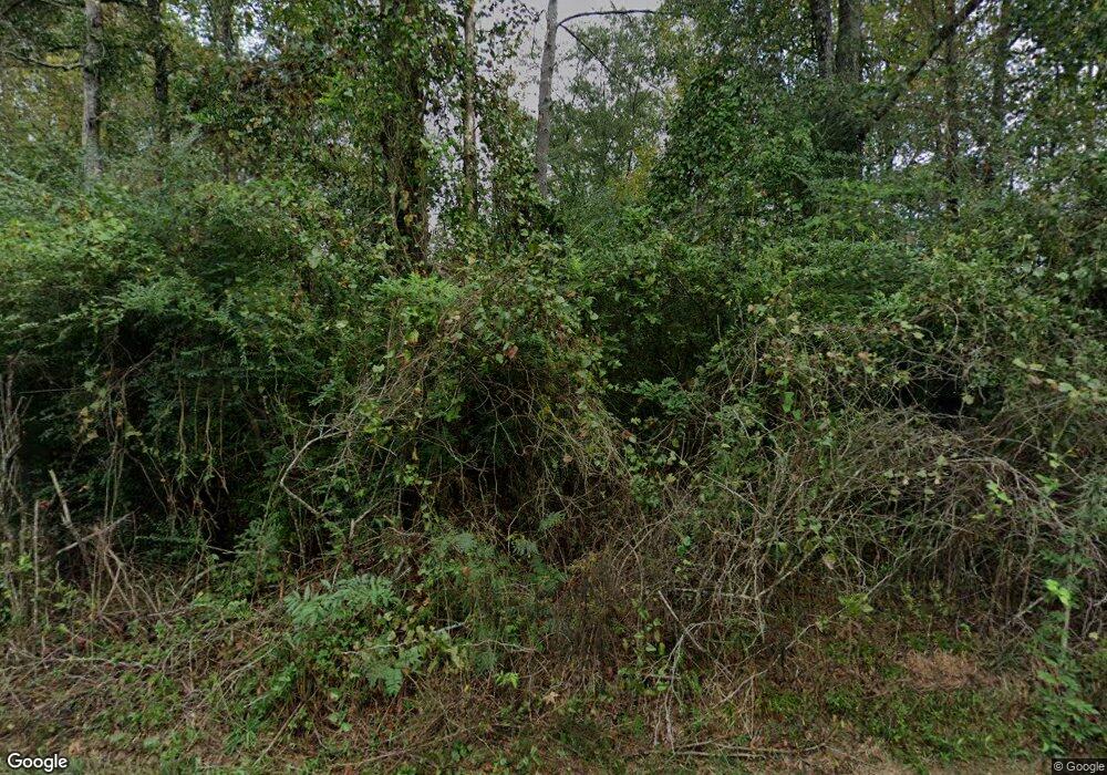
156 L B Stuart Dr Mendenhall, MS 39114
Estimated Value: $253,814 - $316,000
3
Beds
2
Baths
2,813
Sq Ft
$100/Sq Ft
Est. Value
About This Home
This home is located at 156 L B Stuart Dr, Mendenhall, MS 39114 and is currently estimated at $282,605, approximately $100 per square foot. 156 L B Stuart Dr is a home with nearby schools including Mendenhall Elementary School, Mendenhall Junior High School, and Mendenhall High School.
Ownership History
Date
Name
Owned For
Owner Type
Purchase Details
Closed on
Sep 15, 2023
Sold by
Stuart Larry
Bought by
Hunter Stuart
Current Estimated Value
Home Financials for this Owner
Home Financials are based on the most recent Mortgage that was taken out on this home.
Original Mortgage
$202,759
Outstanding Balance
$197,481
Interest Rate
6.75%
Mortgage Type
FHA
Estimated Equity
$85,124
Purchase Details
Closed on
Jan 20, 2022
Sold by
Stuart and Brandy
Bought by
Stuart Larry
Home Financials for this Owner
Home Financials are based on the most recent Mortgage that was taken out on this home.
Original Mortgage
$170,300
Interest Rate
3.22%
Mortgage Type
New Conventional
Create a Home Valuation Report for This Property
The Home Valuation Report is an in-depth analysis detailing your home's value as well as a comparison with similar homes in the area
Purchase History
| Date | Buyer | Sale Price | Title Company |
|---|---|---|---|
| Hunter Stuart | -- | None Listed On Document | |
| Hunter Stuart | -- | None Listed On Document | |
| Stuart Larry | -- | None Listed On Document |
Source: Public Records
Mortgage History
| Date | Status | Borrower | Loan Amount |
|---|---|---|---|
| Open | Hunter Stuart | $202,759 | |
| Closed | Hunter Stuart | $202,759 | |
| Previous Owner | Stuart Larry | $170,300 |
Source: Public Records
Tax History
| Year | Tax Paid | Tax Assessment Tax Assessment Total Assessment is a certain percentage of the fair market value that is determined by local assessors to be the total taxable value of land and additions on the property. | Land | Improvement |
|---|---|---|---|---|
| 2025 | $1,361 | $14,528 | $0 | $0 |
| 2024 | $1,361 | $12,956 | $0 | $0 |
| 2023 | $1,173 | $12,547 | $0 | $0 |
| 2022 | $884 | $16,373 | $0 | $0 |
| 2021 | $866 | $16,376 | $0 | $0 |
| 2020 | $839 | $15,264 | $0 | $0 |
| 2019 | $858 | $15,794 | $0 | $0 |
| 2018 | $859 | $15,797 | $0 | $0 |
| 2017 | $859 | $15,800 | $0 | $0 |
| 2016 | $796 | $15,498 | $0 | $0 |
| 2015 | $767 | $15,490 | $0 | $0 |
| 2014 | $391 | $11,578 | $0 | $0 |
Source: Public Records
Map
Nearby Homes
- 255 Everett Church Rd
- 0 County Line Rd Unit 4123067
- 501 Hwy 13 S
- 250 - 274 Everett Church Rd
- 410 Cole Rd
- 0 Campbell Creek Rd
- 0 Poplar Springs Rd Unit 11538171
- 278 Poplar Springs Rd
- 128 Rock Pisgah Rd
- 103 Johnny Rawls Rd
- 0 Simpson Highway 13 Unit 4111635
- 0 Hwy 13 Hwy Unit 4131982
- 000 Hwy 13 Hwy
- 0 Hwy 13 Hwy Unit 145578
- 0 Hwy 13 Hwy
- 329 County Line Rd
- 111 Corley Cir
- 119 Ashwood Ln
- 0 Dear Dr
- 00 Hayman Lake Rd
- 807 Everett Church Rd
- 799 Everett Church Rd
- 781 Everett Church Rd
- 4061 Simpson Highway 13
- 4061 Simpson Highway 13
- 4049 Simpson Highway 13
- 104 Higgins Dr
- 4028 Simpson Highway 13
- 138 Olive Ln
- 150 Brandon Williamsburg Rd
- 150 Brandon Williamsburg Rd
- 225 New Hope Rd
- 3999 Simpson Highway 13
- 4000 Simpson Highway 13
- 734 Everett Church Rd
- 164 Brandon - Williamsburg Rd
- 122 Shotts Rd
- 0 Shotts Rd
- 162 Shotts Rd
- 0 Louette Rd Unit 4073305
Your Personal Tour Guide
Ask me questions while you tour the home.
