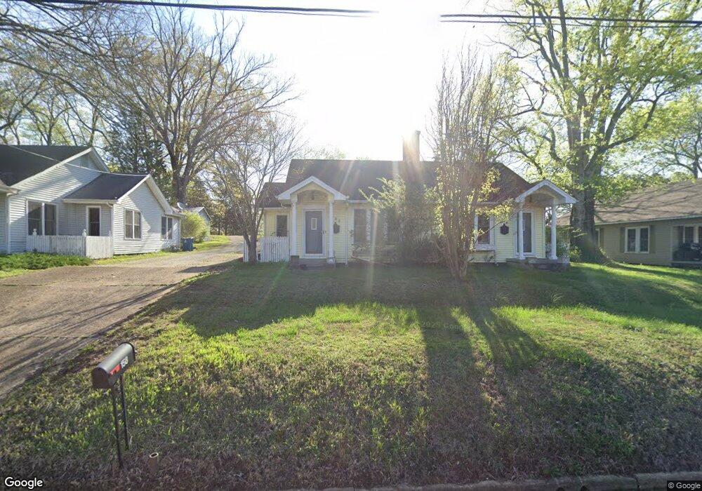
156 N Forrest Ave Camden, TN 38320
Estimated Value: $86,000 - $255,993
--
Bed
2
Baths
2,276
Sq Ft
$67/Sq Ft
Est. Value
About This Home
This home is located at 156 N Forrest Ave, Camden, TN 38320 and is currently estimated at $151,748, approximately $66 per square foot. 156 N Forrest Ave is a home located in Benton County with nearby schools including Camden Elementary School, Briarwood School, and Camden Junior High School.
Ownership History
Date
Name
Owned For
Owner Type
Purchase Details
Closed on
Nov 29, 2013
Sold by
Schwam Carol Florence
Bought by
Ray Schwam Carol Florence and Ray Florence Thomas
Current Estimated Value
Purchase Details
Closed on
Jul 1, 1987
Bought by
Hollis Frank L and Hollis Adelaide R
Create a Home Valuation Report for This Property
The Home Valuation Report is an in-depth analysis detailing your home's value as well as a comparison with similar homes in the area
Home Values in the Area
Average Home Value in this Area
Purchase History
| Date | Buyer | Sale Price | Title Company |
|---|---|---|---|
| Ray Schwam Carol Florence | -- | -- | |
| Hollis Frank L | -- | -- |
Source: Public Records
Tax History Compared to Growth
Tax History
| Year | Tax Paid | Tax Assessment Tax Assessment Total Assessment is a certain percentage of the fair market value that is determined by local assessors to be the total taxable value of land and additions on the property. | Land | Improvement |
|---|---|---|---|---|
| 2025 | $2,806 | $121,480 | $0 | $0 |
| 2024 | $2,806 | $76,560 | $6,400 | $70,160 |
| 2023 | $2,806 | $76,560 | $6,400 | $70,160 |
| 2022 | $2,806 | $76,560 | $6,400 | $70,160 |
| 2021 | $2,806 | $76,560 | $6,400 | $70,160 |
| 2020 | $2,808 | $76,560 | $6,400 | $70,160 |
| 2019 | $2,553 | $64,640 | $6,400 | $58,240 |
| 2018 | $2,553 | $64,640 | $6,400 | $58,240 |
| 2017 | $2,553 | $64,640 | $6,400 | $58,240 |
| 2016 | $2,489 | $63,000 | $6,400 | $56,600 |
| 2015 | $2,514 | $63,000 | $6,400 | $56,600 |
| 2014 | $1,632 | $63,000 | $6,400 | $56,600 |
| 2013 | $1,632 | $41,414 | $0 | $0 |
Source: Public Records
Map
Nearby Homes
- 136 N Forrest Ave
- 170 N Forrest Ave
- 134 N Church Ave
- 186 N Forrest Ave
- 116 N Church Ave
- 121 Washington Ave
- 116 Magnolia St
- 122 W Lake St
- 1 Maple Ave
- 120 Magnolia St
- 121 Davidson St
- 0 Forrest Ave N
- 215 Woodside St
- 1762 Washington Ave
- 197 Stigall St
- 129 S Forrest Ave
- 172 W Main St
- 000 Wyly St
- 162 Factory St
- 167 Cherokee Ave
- 164 N Forrest Ave
- 154 N Forrest Ave
- 187 Hall Ave
- 157 N Forrest Ave
- 157 N Forrest Ave
- 153 Forrest and Poplar
- 155 N Forrest Ave
- 161 N Forrest Ave
- 116 Hawley St
- 163 N Forrest Ave
- 117 E Lockhart St
- 144 N Church Ave
- 165 N Forrest Ave
- 118 Hawley St
- 115 Hawley St
- 119 Eastview Ave
- 117 Eastview Ave
- 142 N Church Ave
- 117 Hawley St
- 120 Hawley St