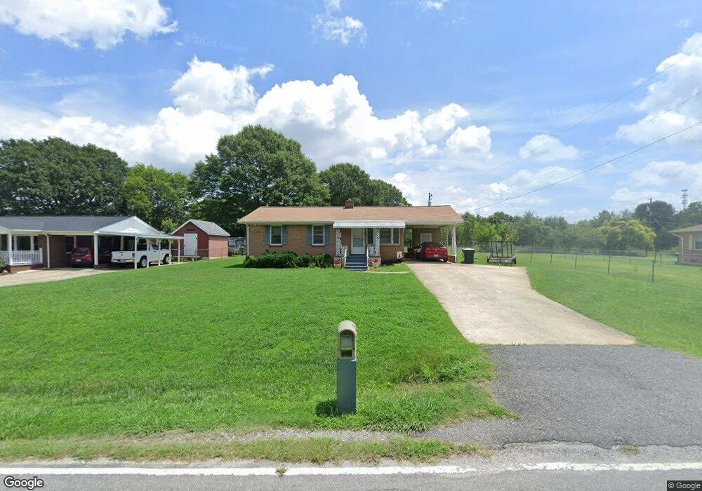
156 N Gate Rd Gaffney, SC 29341
Estimated Value: $91,000 - $197,000
--
Bed
--
Bath
1,026
Sq Ft
$147/Sq Ft
Est. Value
About This Home
This home is located at 156 N Gate Rd, Gaffney, SC 29341 and is currently estimated at $151,106, approximately $147 per square foot. 156 N Gate Rd is a home located in Cherokee County with nearby schools including Grassy Pond Elementary School, Gaffney Middle School, and Gaffney High School.
Ownership History
Date
Name
Owned For
Owner Type
Purchase Details
Closed on
Jun 5, 2020
Sold by
Bright Barbara A
Bought by
Sullivan Ronnie L
Current Estimated Value
Home Financials for this Owner
Home Financials are based on the most recent Mortgage that was taken out on this home.
Original Mortgage
$57,000
Outstanding Balance
$50,620
Interest Rate
3.3%
Mortgage Type
New Conventional
Estimated Equity
$100,486
Purchase Details
Closed on
Jun 3, 2020
Sold by
Bright Barbara A
Bought by
Sullivan Ronnie L
Home Financials for this Owner
Home Financials are based on the most recent Mortgage that was taken out on this home.
Original Mortgage
$57,000
Outstanding Balance
$50,620
Interest Rate
3.3%
Mortgage Type
New Conventional
Estimated Equity
$100,486
Purchase Details
Closed on
Apr 1, 2011
Bought by
Blanton Leeford Life Est Then
Create a Home Valuation Report for This Property
The Home Valuation Report is an in-depth analysis detailing your home's value as well as a comparison with similar homes in the area
Home Values in the Area
Average Home Value in this Area
Purchase History
| Date | Buyer | Sale Price | Title Company |
|---|---|---|---|
| Sullivan Ronnie L | $72,500 | Law Office Of Stephen C Woffor | |
| Sullivan Ronnie L | $72,500 | Law Office Of Stephen C Woffor | |
| Blanton Leeford Life Est Then | -- | -- |
Source: Public Records
Mortgage History
| Date | Status | Borrower | Loan Amount |
|---|---|---|---|
| Open | Sullivan Ronnie L | $57,000 | |
| Closed | Sullivan Ronnie L | $57,000 |
Source: Public Records
Tax History Compared to Growth
Tax History
| Year | Tax Paid | Tax Assessment Tax Assessment Total Assessment is a certain percentage of the fair market value that is determined by local assessors to be the total taxable value of land and additions on the property. | Land | Improvement |
|---|---|---|---|---|
| 2024 | $1,373 | $4,320 | $720 | $3,600 |
| 2023 | $1,369 | $4,320 | $720 | $3,600 |
| 2022 | $1,296 | $4,320 | $720 | $3,600 |
| 2021 | $1,231 | $4,130 | $750 | $3,380 |
| 2020 | $1,122 | $3,850 | $0 | $0 |
| 2019 | $1,084 | $3,850 | $0 | $0 |
| 2018 | $1,084 | $3,850 | $0 | $0 |
| 2017 | $47 | $2,460 | $0 | $0 |
| 2016 | $49 | $2,460 | $0 | $0 |
| 2015 | $12 | $2,460 | $0 | $0 |
| 2014 | $12 | $2,460 | $0 | $0 |
| 2013 | $12 | $2,460 | $0 | $0 |
Source: Public Records
Map
Nearby Homes
- 00 Buckson St
- 111 Dean St
- 115 Dean St
- 116 Kennedy St
- TBD Old Post Road Roads
- TBD Chaucer Dr
- Lot 55 Lincoln Dr
- 200 Lincoln Dr
- 0 Winslow Ave Unit 276137
- 0 Windslow Ave
- 108 Maple Dr
- 0 Highway 11 Unit 263417
- 68 Calton Dr
- 0 Jesse Trail Unit SPN327962
- 0 Chesnee Hwy Unit SPN327907
- 0 Chesnee Hwy Unit 311188
- 0 Chesnee Hwy Unit 295053
- 252 Brittany Rd
- 1266 Chesnee Hwy
- 116 Saxon Dr