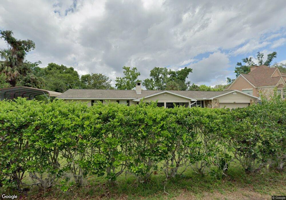
1560 Irma Rd Eustis, FL 32726
Estimated Value: $352,000 - $542,000
2
Beds
3
Baths
2,400
Sq Ft
$177/Sq Ft
Est. Value
About This Home
This home is located at 1560 Irma Rd, Eustis, FL 32726 and is currently estimated at $425,894, approximately $177 per square foot. 1560 Irma Rd is a home located in Lake County with nearby schools including Triangle Elementary School, Eustis Middle School, and Eustis High School.
Ownership History
Date
Name
Owned For
Owner Type
Purchase Details
Closed on
Apr 29, 2011
Sold by
Jkr Investment Group Inc
Bought by
Bowman Thomas A and Bowman Shannon L
Current Estimated Value
Home Financials for this Owner
Home Financials are based on the most recent Mortgage that was taken out on this home.
Original Mortgage
$135,963
Interest Rate
4.87%
Mortgage Type
FHA
Purchase Details
Closed on
Sep 10, 2010
Sold by
Stout Julie A and Mceachern Deborah D
Bought by
Jkr Investment Group Inc
Purchase Details
Closed on
Jan 12, 2006
Sold by
Hearne Julian S
Bought by
Baldwin Audrey D
Create a Home Valuation Report for This Property
The Home Valuation Report is an in-depth analysis detailing your home's value as well as a comparison with similar homes in the area
Home Values in the Area
Average Home Value in this Area
Purchase History
| Date | Buyer | Sale Price | Title Company |
|---|---|---|---|
| Bowman Thomas A | $139,500 | None Available | |
| Jkr Investment Group Inc | $100,000 | Attorney | |
| Baldwin Audrey D | $87,000 | None Available |
Source: Public Records
Mortgage History
| Date | Status | Borrower | Loan Amount |
|---|---|---|---|
| Previous Owner | Bowman Thomas A | $135,963 |
Source: Public Records
Tax History
| Year | Tax Paid | Tax Assessment Tax Assessment Total Assessment is a certain percentage of the fair market value that is determined by local assessors to be the total taxable value of land and additions on the property. | Land | Improvement |
|---|---|---|---|---|
| 2026 | $2,832 | $202,640 | -- | -- |
| 2025 | $2,549 | $197,120 | -- | -- |
| 2024 | $2,549 | $197,120 | -- | -- |
| 2023 | $2,549 | $185,810 | $0 | $0 |
| 2022 | $2,366 | $180,400 | $0 | $0 |
| 2021 | $2,283 | $175,148 | $0 | $0 |
| 2020 | $2,384 | $172,730 | $0 | $0 |
| 2019 | $2,362 | $168,847 | $0 | $0 |
| 2018 | $2,256 | $165,699 | $0 | $0 |
| 2017 | $2,179 | $162,291 | $0 | $0 |
| 2016 | $2,212 | $161,706 | $0 | $0 |
| 2015 | $2,261 | $160,582 | $0 | $0 |
| 2014 | $2,267 | $159,469 | $0 | $0 |
Source: Public Records
Map
Nearby Homes
- 0 Gables Dr Unit MFRO6380272
- 2825 Hardenbergh Ln
- 3203 Victoria Ln
- 881 Vanderbilt Dr
- 0 Fairway Ave
- 2435 Broadvue Ave
- 2663 Winchester Cir
- 2723 Beacon St
- 3101 Northwind Dr
- 2311 Sunset Dr
- 2404 Waycross Ave
- 93 Hillside Dr
- 2422 Topping Place
- 2450 Topping Place
- 2400 Topping Place
- 0 E Crooked Lake Dr Unit MFRG5104526
- 888 Marietta Ln
- 2007 Country Club Dr
- 501 Cherry Tree St
- 2000 Country Club Dr
Your Personal Tour Guide
Ask me questions while you tour the home.