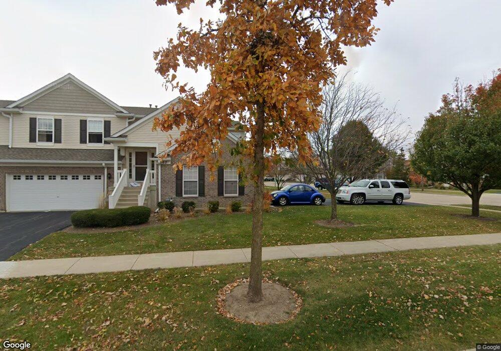
1560 Millbrook Dr Unit 4 Algonquin, IL 60102
Far West Algonquin NeighborhoodEstimated Value: $283,135 - $331,000
2
Beds
2
Baths
1,100
Sq Ft
$271/Sq Ft
Est. Value
About This Home
This home is located at 1560 Millbrook Dr Unit 4, Algonquin, IL 60102 and is currently estimated at $298,034, approximately $270 per square foot. 1560 Millbrook Dr Unit 4 is a home located in Kane County with nearby schools including Westfield Community School, Lincoln Prairie Elementary School, and Harry D Jacobs High School.
Ownership History
Date
Name
Owned For
Owner Type
Purchase Details
Closed on
Feb 1, 2006
Sold by
Centex Homes
Bought by
Berber Irineo and Lopez Maria B
Current Estimated Value
Home Financials for this Owner
Home Financials are based on the most recent Mortgage that was taken out on this home.
Original Mortgage
$159,820
Outstanding Balance
$95,464
Interest Rate
7.25%
Mortgage Type
New Conventional
Estimated Equity
$202,570
Create a Home Valuation Report for This Property
The Home Valuation Report is an in-depth analysis detailing your home's value as well as a comparison with similar homes in the area
Home Values in the Area
Average Home Value in this Area
Purchase History
| Date | Buyer | Sale Price | Title Company |
|---|---|---|---|
| Berber Irineo | $200,000 | Chicago Title Insurance Comp |
Source: Public Records
Mortgage History
| Date | Status | Borrower | Loan Amount |
|---|---|---|---|
| Open | Berber Irineo | $159,820 |
Source: Public Records
Tax History
| Year | Tax Paid | Tax Assessment Tax Assessment Total Assessment is a certain percentage of the fair market value that is determined by local assessors to be the total taxable value of land and additions on the property. | Land | Improvement |
|---|---|---|---|---|
| 2024 | $4,432 | $74,298 | $8,371 | $65,927 |
| 2023 | $4,139 | $66,851 | $7,532 | $59,319 |
| 2022 | $4,549 | $65,431 | $7,532 | $57,899 |
| 2021 | $4,379 | $61,780 | $7,112 | $54,668 |
| 2020 | $2,551 | $60,391 | $6,952 | $53,439 |
| 2019 | $2,614 | $57,330 | $6,600 | $50,730 |
| 2018 | $3,636 | $50,438 | $6,469 | $43,969 |
| 2017 | $2,799 | $47,182 | $6,051 | $41,131 |
| 2016 | $2,852 | $45,684 | $5,859 | $39,825 |
| 2015 | -- | $40,359 | $5,490 | $34,869 |
| 2014 | -- | $39,244 | $5,338 | $33,906 |
| 2013 | -- | $40,445 | $5,501 | $34,944 |
Source: Public Records
Map
Nearby Homes
- 2602 Amber Ln Unit 49
- 1552 Matthew Dr Unit 1552
- 2666 Loren Ct Unit 341
- 2956 Harnish Dr
- 0 Boyer Rd Unit MRD11328255
- 1453 Millbrook Dr
- 895 Eineke Blvd
- 2069 Peach Tree Ln Unit 4116
- 2161 Burnham Ct
- 2054 Peach Tree Ln Unit 4171
- 1181 Glenmont St
- 1221 Glenmont St
- 1900 Waverly Ln
- 18 Peach Tree Ct Unit 4154
- 1231 Glenmont St
- 2051 Carlisle St
- 1233 Glenmont St
- 1237 Glenmont St
- 1239 Glenmont St
- 417 Cold Spring St
- 2633 Amber Ln Unit 2633
- 1561 Matthew Dr Unit 1
- 1584 Millbrook Dr Unit 2
- 1557 Matthew Dr Unit 4
- 1586 Millbrook Dr Unit 1
- 2622 Amber Ln Unit 423
- 2603 Amber Ln Unit 2
- 1582 Millbrook Dr Unit 3
- 2621 Loren Ln Unit 451
- 2610 Amber Ln Unit 4
- 2613 Loren Ln Unit 4602
- 2627 Loren Ln Unit 454
- 1574 Millbrook Dr Unit 1
- 2635 Amber Ln Unit 3
- 1580 Millbrook Dr Unit 4
- 1572 Millbrook Dr Unit 2
- 2604 Amber Ln Unit 2
- 1567 Matthew Dr Unit 4
- 2626 Amber Ln Unit 421
Your Personal Tour Guide
Ask me questions while you tour the home.