1560 Robin Rd Bannockburn, IL 60015
Estimated Value: $1,065,000 - $1,468,909
4
Beds
6
Baths
3,347
Sq Ft
$383/Sq Ft
Est. Value
About This Home
This home is located at 1560 Robin Rd, Bannockburn, IL 60015 and is currently estimated at $1,282,727, approximately $383 per square foot. 1560 Robin Rd is a home located in Lake County with nearby schools including Bannockburn School and Deerfield High School.
Ownership History
Date
Name
Owned For
Owner Type
Purchase Details
Closed on
May 18, 2020
Sold by
Zubovic Aida
Bought by
Zubovic Emir and Zubovic Aida
Current Estimated Value
Purchase Details
Closed on
Nov 1, 2019
Sold by
Singh Deepak K and Zavhorodnia Viktoriia
Bought by
Zubovic Aida
Home Financials for this Owner
Home Financials are based on the most recent Mortgage that was taken out on this home.
Original Mortgage
$484,000
Outstanding Balance
$427,059
Interest Rate
3.75%
Mortgage Type
New Conventional
Estimated Equity
$855,668
Create a Home Valuation Report for This Property
The Home Valuation Report is an in-depth analysis detailing your home's value as well as a comparison with similar homes in the area
Home Values in the Area
Average Home Value in this Area
Purchase History
| Date | Buyer | Sale Price | Title Company |
|---|---|---|---|
| Zubovic Emir | -- | Attorney | |
| Zubovic Aida | $700,000 | Proper Title Llc |
Source: Public Records
Mortgage History
| Date | Status | Borrower | Loan Amount |
|---|---|---|---|
| Open | Zubovic Aida | $484,000 |
Source: Public Records
Tax History
| Year | Tax Paid | Tax Assessment Tax Assessment Total Assessment is a certain percentage of the fair market value that is determined by local assessors to be the total taxable value of land and additions on the property. | Land | Improvement |
|---|---|---|---|---|
| 2024 | $21,855 | $330,000 | $148,217 | $181,783 |
| 2023 | $17,211 | $316,141 | $142,243 | $173,898 |
| 2022 | $17,211 | $241,392 | $153,149 | $88,243 |
| 2021 | $16,298 | $232,734 | $147,656 | $85,078 |
| 2020 | $15,873 | $233,224 | $147,967 | $85,257 |
| 2019 | $15,241 | $232,828 | $147,716 | $85,112 |
Source: Public Records
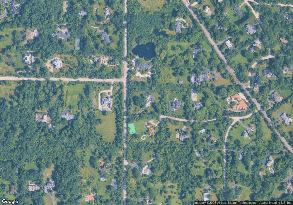
Map
Nearby Homes
- 1380 Valley Rd
- 1800 Telegraph Rd
- 1525 Hawthorne Place
- 1727 Telegraph Rd
- 5 Dunsinane Ln
- 1695 Overland Trail
- 1335 Wilmot Rd
- 1420 Crowe Ave
- 2619 Wildwood Ln
- 890 Mountain Dr
- 1440 Waukegan Rd
- 11590 Elmwood Place
- 23388 N Birchwood Ln
- 2045 Kipling Ct
- 1054 Broadmoor Place
- 1690 Landy Ln
- 2020 Churchill Ln
- 1423 Northwoods Rd
- 11 Lakewood Dr
- 1004 Broadmoor Place
- 1560 Robin Rd
- 1565 Robin Rd
- 1530 Robin Rd
- 1665 Duffy Ln
- 1963 Wilmot Rd
- 1535 Robin Rd
- 1500 Robin Rd
- 1500 Robin Rd
- 2000 Telegraph Rd
- 2030 Wilmot Rd
- 1885 Wilmot Rd
- 2100 Telegraph Rd
- 1930 Meadow Ln
- 2040 Wilmot Rd
- 1900 Wilmot Rd
- 1900 Meadow Ln
- 1675 Duffy Ln
- 2140 Telegraph Rd
- 0 Audubon Ln Unit 9600366
- 0 Audubon Ln Unit MRD12197469
Your Personal Tour Guide
Ask me questions while you tour the home.