1560 Talc Mine Rd Jasper, GA 30143
Estimated Value: $305,000 - $497,000
--
Bed
2
Baths
1,564
Sq Ft
$250/Sq Ft
Est. Value
About This Home
This home is located at 1560 Talc Mine Rd, Jasper, GA 30143 and is currently estimated at $390,941, approximately $249 per square foot. 1560 Talc Mine Rd is a home located in Pickens County with nearby schools including Harmony Elementary School, Pickens County Middle School, and Pickens County High School.
Ownership History
Date
Name
Owned For
Owner Type
Purchase Details
Closed on
Apr 11, 2005
Sold by
Parker Diane H
Bought by
Parker William K and Parker Diane H
Current Estimated Value
Purchase Details
Closed on
Mar 9, 1993
Sold by
Common Wealth Resources Inc
Bought by
Parker William K
Create a Home Valuation Report for This Property
The Home Valuation Report is an in-depth analysis detailing your home's value as well as a comparison with similar homes in the area
Home Values in the Area
Average Home Value in this Area
Purchase History
| Date | Buyer | Sale Price | Title Company |
|---|---|---|---|
| Parker William K | -- | -- | |
| Parker Diane H | -- | -- | |
| Parker William K | $17,500 | -- |
Source: Public Records
Tax History Compared to Growth
Tax History
| Year | Tax Paid | Tax Assessment Tax Assessment Total Assessment is a certain percentage of the fair market value that is determined by local assessors to be the total taxable value of land and additions on the property. | Land | Improvement |
|---|---|---|---|---|
| 2024 | $2,379 | $125,231 | $28,053 | $97,178 |
| 2023 | $1,109 | $59,550 | $18,702 | $40,848 |
| 2022 | $1,109 | $59,550 | $18,702 | $40,848 |
| 2021 | $1,189 | $59,550 | $18,702 | $40,848 |
| 2020 | $1,224 | $59,550 | $18,702 | $40,848 |
| 2019 | $1,252 | $59,550 | $18,702 | $40,848 |
| 2018 | $1,264 | $59,550 | $18,702 | $40,848 |
| 2017 | $1,285 | $59,550 | $18,702 | $40,848 |
| 2016 | $1,281 | $58,532 | $17,684 | $40,848 |
| 2015 | $1,251 | $58,532 | $17,684 | $40,848 |
| 2014 | $1,254 | $58,532 | $17,684 | $40,848 |
| 2013 | -- | $58,532 | $17,684 | $40,848 |
Source: Public Records
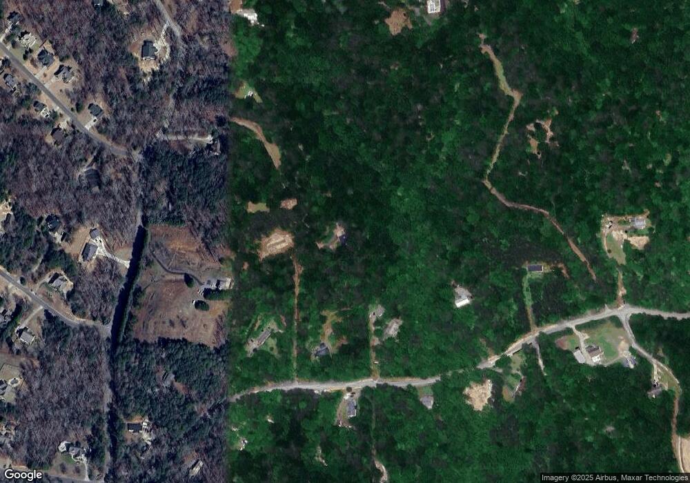
Map
Nearby Homes
- 16 Jordans Park Trail
- 118 Sylvias Way
- 176 Windsor Way
- 0 Hawthorne Hill Rd Unit 7637290
- 175 Sleepy Hollow Trail
- 266 Richard Trail
- 103 Kimberleys Crossing
- 1402 Henderson Mountain Rd
- 603 Cutoff Rd
- 231 Beaver Ridge Rd
- 80 Orchard Ridge Trail
- 2297 Henderson Mountain Rd
- 67 Marysville Ct
- 704 Gregory Dr
- 100 Marysville Ct
- 364 S Woods Ct
- 261 S Woods Ct
- 392 Beaver Ridge Rd
- 2311 Pettit Rd
- 1526 Talc Mine Rd
- 1566 Talc Mine Rd
- 2465 Pettit Rd
- 2319 Pettit Rd
- 1437 Talc Mine Rd
- 2224 Pettit Rd
- 1620 Talc Mine Rd
- 2237 Pettit Rd
- LOT 1 Jordans Crossing
- 0 Jordans Park Trail Unit 3 8274286
- 0 Jordans Park Trail Unit 1 8274279
- 0 Jordans Park Trail Unit 3242290
- 9 Jordans Park Trail
- 0 Jordans Park Trail Unit 3137503
- 0 Jordans Park Trail Unit 9074398
- 0 Jordans Park Trail Unit 9040513
- 0 Jordans Park Trail Unit 8543942
- 0 Jordans Park Trail Unit 8723921
- 0 Jordans Park Trail Unit 8723884