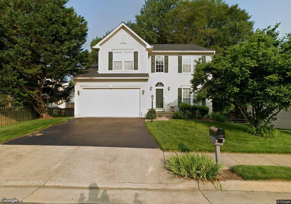
15604 Catrock Sluice Way Manassas, VA 20112
Powells Creek NeighborhoodEstimated Value: $694,000 - $762,000
4
Beds
4
Baths
2,556
Sq Ft
$280/Sq Ft
Est. Value
About This Home
This home is located at 15604 Catrock Sluice Way, Manassas, VA 20112 and is currently estimated at $714,727, approximately $279 per square foot. 15604 Catrock Sluice Way is a home located in Prince William County with nearby schools including Ashland Elementary School, Louise A. Benton Middle School, and Forest Park High School.
Ownership History
Date
Name
Owned For
Owner Type
Purchase Details
Closed on
Aug 31, 2000
Sold by
Nvr Inc
Bought by
Beavers Terry L
Current Estimated Value
Home Financials for this Owner
Home Financials are based on the most recent Mortgage that was taken out on this home.
Original Mortgage
$184,250
Outstanding Balance
$67,438
Interest Rate
8.16%
Estimated Equity
$647,289
Create a Home Valuation Report for This Property
The Home Valuation Report is an in-depth analysis detailing your home's value as well as a comparison with similar homes in the area
Home Values in the Area
Average Home Value in this Area
Purchase History
| Date | Buyer | Sale Price | Title Company |
|---|---|---|---|
| Beavers Terry L | $230,358 | -- |
Source: Public Records
Mortgage History
| Date | Status | Borrower | Loan Amount |
|---|---|---|---|
| Open | Beavers Terry L | $184,250 |
Source: Public Records
Tax History Compared to Growth
Tax History
| Year | Tax Paid | Tax Assessment Tax Assessment Total Assessment is a certain percentage of the fair market value that is determined by local assessors to be the total taxable value of land and additions on the property. | Land | Improvement |
|---|---|---|---|---|
| 2025 | $6,449 | $700,800 | $202,100 | $498,700 |
| 2024 | $6,449 | $648,500 | $185,800 | $462,700 |
| 2023 | $6,433 | $618,300 | $170,800 | $447,500 |
| 2022 | $6,820 | $605,500 | $159,600 | $445,900 |
| 2021 | $6,490 | $532,800 | $159,600 | $373,200 |
| 2020 | $7,607 | $490,800 | $159,600 | $331,200 |
| 2019 | $7,209 | $465,100 | $154,900 | $310,200 |
| 2018 | $5,391 | $446,500 | $149,000 | $297,500 |
| 2017 | $5,365 | $435,500 | $144,700 | $290,800 |
| 2016 | $5,240 | $429,300 | $141,900 | $287,400 |
| 2015 | $5,013 | $420,900 | $138,800 | $282,100 |
| 2014 | $5,013 | $401,600 | $132,200 | $269,400 |
Source: Public Records
Map
Nearby Homes
- 5540 Hobsons Choice Loop
- 15309 Colonel Tansill Ct
- 15750 Chimney Rock Terrace
- 15158 Addison Ln
- 15333 Wits End Dr
- 15615 Winding Creek Dr
- 5091 Higgins Dr
- 5337 Box Turtle Ct
- 15111 Snapper Ct
- 15521 Port Washington Ct
- 5029 Buena Vista Dr
- 6031 Gholson Bridge Ct
- 14933 Spriggs Tree Ln
- 4851 Ebb Tide Ct
- 15730 Marbury Heights Way
- 15725 Marbury Heights Way
- 6215 Haw Branch Ct
- 4977 Breeze Way
- 5554 Barnes Ln
- 15697 Viewpoint Cir
- 5758 Fincastle Dr
- 5762 Fincastle Dr
- 5627 Eppes Island Place
- 5621 Eppes Island Place
- 5752 Fincastle Dr
- 5764 Fincastle Dr
- 5624 Eppes Island Place
- 5617 Eppes Island Place
- 5748 Fincastle Dr
- 5755 Fincastle Dr
- 5628 Eppes Island Place
- 5766 Fincastle Dr
- 5620 Eppes Island Place
- 5631 Eppes Island Place
- 5763 Fincastle Dr
- 15400 Spriggs Rd
- 5751 Fincastle Dr
- 5616 Eppes Island Place
- 5632 Eppes Island Place
- 5765 Fincastle Dr