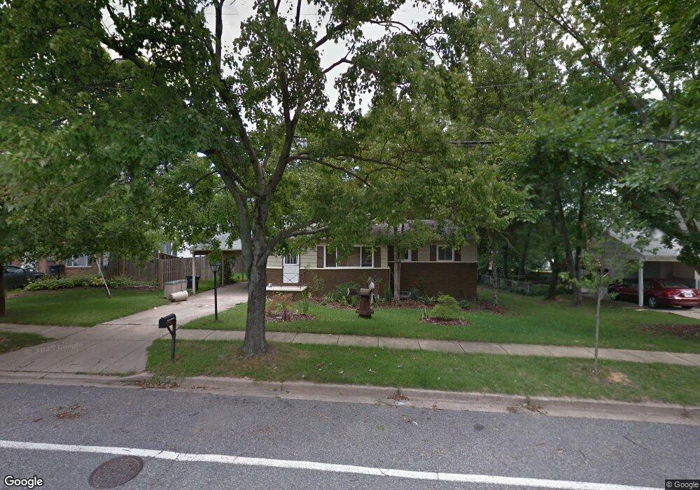
15605 Bounds Ave Laurel, MD 20707
West Laurel NeighborhoodEstimated Value: $417,000 - $513,000
--
Bed
2
Baths
1,052
Sq Ft
$443/Sq Ft
Est. Value
About This Home
This home is located at 15605 Bounds Ave, Laurel, MD 20707 and is currently estimated at $465,825, approximately $442 per square foot. 15605 Bounds Ave is a home located in Prince George's County with nearby schools including Bond Mill Elementary, Martin Luther King Jr. Middle School, and Laurel High School.
Ownership History
Date
Name
Owned For
Owner Type
Purchase Details
Closed on
Apr 24, 2007
Sold by
Stroup Jerry D
Bought by
Bush Donald D
Current Estimated Value
Home Financials for this Owner
Home Financials are based on the most recent Mortgage that was taken out on this home.
Original Mortgage
$73,000
Interest Rate
6.18%
Mortgage Type
Purchase Money Mortgage
Purchase Details
Closed on
Apr 13, 2007
Sold by
Stroup Jerry D
Bought by
Bush Donald D
Home Financials for this Owner
Home Financials are based on the most recent Mortgage that was taken out on this home.
Original Mortgage
$73,000
Interest Rate
6.18%
Mortgage Type
Purchase Money Mortgage
Purchase Details
Closed on
Jan 22, 1985
Sold by
Brown Michael S
Bought by
Stroup Jerry D
Create a Home Valuation Report for This Property
The Home Valuation Report is an in-depth analysis detailing your home's value as well as a comparison with similar homes in the area
Home Values in the Area
Average Home Value in this Area
Purchase History
| Date | Buyer | Sale Price | Title Company |
|---|---|---|---|
| Bush Donald D | $365,000 | -- | |
| Bush Donald D | $365,000 | -- | |
| Stroup Jerry D | $90,000 | -- |
Source: Public Records
Mortgage History
| Date | Status | Borrower | Loan Amount |
|---|---|---|---|
| Closed | Bush Donald D | $73,000 | |
| Open | Bush Donald D | $292,000 | |
| Closed | Bush Donald D | $292,000 |
Source: Public Records
Tax History Compared to Growth
Tax History
| Year | Tax Paid | Tax Assessment Tax Assessment Total Assessment is a certain percentage of the fair market value that is determined by local assessors to be the total taxable value of land and additions on the property. | Land | Improvement |
|---|---|---|---|---|
| 2025 | $5,487 | $364,900 | $141,200 | $223,700 |
| 2024 | $5,487 | $342,400 | $0 | $0 |
| 2023 | $5,152 | $319,900 | $0 | $0 |
| 2022 | $4,817 | $297,400 | $101,200 | $196,200 |
| 2021 | $4,647 | $285,967 | $0 | $0 |
| 2020 | $4,477 | $274,533 | $0 | $0 |
| 2019 | $4,307 | $263,100 | $100,600 | $162,500 |
| 2018 | $4,293 | $262,133 | $0 | $0 |
| 2017 | $4,279 | $261,167 | $0 | $0 |
| 2016 | -- | $260,200 | $0 | $0 |
| 2015 | $3,907 | $256,400 | $0 | $0 |
| 2014 | $3,907 | $252,600 | $0 | $0 |
Source: Public Records
Map
Nearby Homes
- 15622 Bond Mill Rd
- 6403 Park Hall Dr
- 6003 Windham Rd
- 6802 Niles Dr
- 6918 Scotch Dr
- 7019 Fitzpatrick Dr
- 7019 Redmiles Rd
- 15712 Dorset Rd Unit T3
- 7105 Split Rail Ln
- 15708 Dorset Rd Unit 203
- 15708 Dorset Rd Unit 304
- 7403 Berryleaf Dr
- 1027 Overlook Way
- 7312 Archsine Ln
- 1023 Flester Ln
- 1106 Overlook Way
- 15603 Dorset Rd Unit 101
- 1013 Highpoint Trail
- 7323 Split Rail Ln
- 7419 Berryleaf Dr
- 15607 Bounds Ave
- 15603 Bounds Ave
- 15602 Darwin Ct
- 15609 Bounds Ave
- 6502 Darwin Rd
- 15606 Darwin Ct
- 15602 Bounds Ave
- 6418 Sandy St
- 15600 Darwin Ct
- 15610 Bounds Ave
- 15611 Bounds Ave
- 15600 Bounds Ave
- 6415 Sandy St
- 15703 Bond Mill Rd
- 15608 Bounds Ave
- 15601 Darwin Ct
- 15605 Darwin Ct
- 6416 Sandy St
- 15607 Darwin Ct
- 6422 Darwin Rd