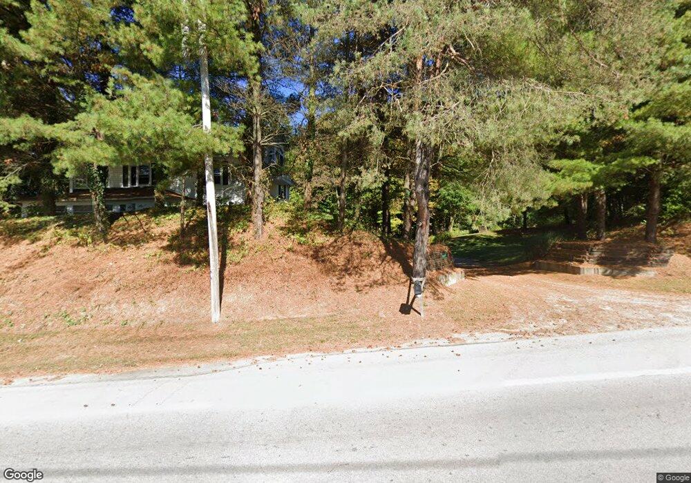
15607 State Route 113 Wakeman, OH 44889
Estimated Value: $376,000 - $385,669
5
Beds
3
Baths
3,125
Sq Ft
$122/Sq Ft
Est. Value
About This Home
This home is located at 15607 State Route 113, Wakeman, OH 44889 and is currently estimated at $379,917, approximately $121 per square foot. 15607 State Route 113 is a home with nearby schools including Firelands Elementary School, Firelands Middle School, and Firelands High School.
Ownership History
Date
Name
Owned For
Owner Type
Purchase Details
Closed on
Mar 11, 2008
Sold by
Rexroad Darrell R and Rexroad Denise E
Bought by
Kelly Rosa Colleen M
Current Estimated Value
Home Financials for this Owner
Home Financials are based on the most recent Mortgage that was taken out on this home.
Original Mortgage
$193,471
Outstanding Balance
$121,432
Interest Rate
5.88%
Mortgage Type
FHA
Estimated Equity
$258,485
Create a Home Valuation Report for This Property
The Home Valuation Report is an in-depth analysis detailing your home's value as well as a comparison with similar homes in the area
Home Values in the Area
Average Home Value in this Area
Purchase History
| Date | Buyer | Sale Price | Title Company |
|---|---|---|---|
| Kelly Rosa Colleen M | $195,000 | Erieview Title Agency Llc |
Source: Public Records
Mortgage History
| Date | Status | Borrower | Loan Amount |
|---|---|---|---|
| Open | Kelly Rosa Colleen M | $193,471 |
Source: Public Records
Tax History Compared to Growth
Tax History
| Year | Tax Paid | Tax Assessment Tax Assessment Total Assessment is a certain percentage of the fair market value that is determined by local assessors to be the total taxable value of land and additions on the property. | Land | Improvement |
|---|---|---|---|---|
| 2024 | $3,737 | $103,236 | $17,129 | $86,107 |
| 2023 | $3,737 | $78,876 | $14,028 | $64,848 |
| 2022 | $3,337 | $78,876 | $14,028 | $64,848 |
| 2021 | $3,311 | $78,880 | $14,030 | $64,850 |
| 2020 | $2,857 | $67,940 | $14,030 | $53,910 |
| 2019 | $2,966 | $67,940 | $14,030 | $53,910 |
| 2018 | $3,049 | $67,940 | $14,030 | $53,910 |
| 2017 | $2,628 | $61,930 | $12,230 | $49,700 |
| 2016 | $2,644 | $61,930 | $12,230 | $49,700 |
| 2015 | $2,593 | $61,930 | $12,230 | $49,700 |
| 2014 | $2,675 | $61,930 | $12,230 | $49,700 |
| 2013 | $2,653 | $61,930 | $12,230 | $49,700 |
Source: Public Records
Map
Nearby Homes
- 15319 State Route 113
- 7218 State Route 60
- 9113 Dean Rd
- 13514 State Route 113
- 15617 Sperry Rd
- 9708 Harrison Rd
- 13917 Mason Rd
- 13111 Harmon Rd
- Lot B Gifford Rd
- 9839 Gifford Rd
- 11909 Joppa Rd
- V/L Darrow Rd
- 50963 Becker Rd
- 11135 Baumhart Rd
- 13612 Thompson Rd
- 0 Baumhart Rd
- 48375 Telegraph Rd
- 13310 Baumhart Rd
- 12214 Thompson Rd
- 2250 Claus Rd
- 15607 Ohio 113
- 10710 Green Rd
- 10704 Green Rd
- 15640 State Route 113
- 10716 Green Rd
- 15701 State Route 113
- 15705 State Route 113
- 15712 State Route 113
- 15411 State Route 113
- 15715 State Route 113
- 15405 State Rd 113
- 10810 Green Rd
- 111 Cliffside Dr
- 10808 Green Rd
- 106 Cliffside Dr Unit 106
- 108 Cliffside Dr
- 113 Cliffside Dr
- 110 Cliffside Dr
- 10831 Green Rd
- 117 Cliffside Dr Unit 117