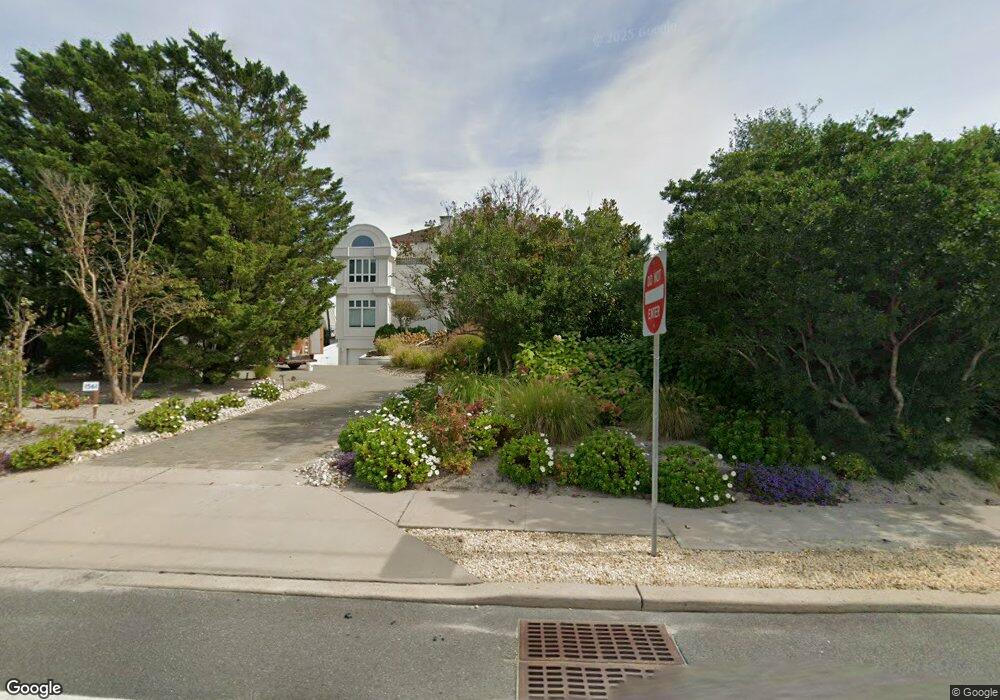
1561 Ocean Ave Mantoloking, NJ 08738
Estimated Value: $6,241,000 - $8,030,000
5
Beds
6
Baths
12,154
Sq Ft
$574/Sq Ft
Est. Value
About This Home
This home is located at 1561 Ocean Ave, Mantoloking, NJ 08738 and is currently estimated at $6,980,690, approximately $574 per square foot. 1561 Ocean Ave is a home located in Ocean County with nearby schools including G Harold Antrim Elementary School and Point Pleasant Beach High School.
Ownership History
Date
Name
Owned For
Owner Type
Purchase Details
Closed on
Mar 24, 1995
Sold by
Ferre E O Joseph C
Bought by
Magnum Lynn and Magnum Elizabeth
Current Estimated Value
Home Financials for this Owner
Home Financials are based on the most recent Mortgage that was taken out on this home.
Original Mortgage
$850,000
Interest Rate
8.55%
Create a Home Valuation Report for This Property
The Home Valuation Report is an in-depth analysis detailing your home's value as well as a comparison with similar homes in the area
Home Values in the Area
Average Home Value in this Area
Purchase History
| Date | Buyer | Sale Price | Title Company |
|---|---|---|---|
| Magnum Lynn | $850,000 | -- |
Source: Public Records
Mortgage History
| Date | Status | Borrower | Loan Amount |
|---|---|---|---|
| Closed | Magnum Lynn | $850,000 |
Source: Public Records
Tax History Compared to Growth
Tax History
| Year | Tax Paid | Tax Assessment Tax Assessment Total Assessment is a certain percentage of the fair market value that is determined by local assessors to be the total taxable value of land and additions on the property. | Land | Improvement |
|---|---|---|---|---|
| 2025 | $46,201 | $5,384,700 | $2,945,300 | $2,439,400 |
| 2024 | $43,939 | $5,384,700 | $2,945,300 | $2,439,400 |
| 2023 | $37,693 | $5,384,700 | $2,945,300 | $2,439,400 |
| 2022 | $37,693 | $5,384,700 | $2,945,300 | $2,439,400 |
| 2021 | $37,908 | $5,384,700 | $2,945,300 | $2,439,400 |
| 2020 | $38,339 | $5,384,700 | $2,945,300 | $2,439,400 |
| 2019 | $37,801 | $5,384,700 | $2,945,300 | $2,439,400 |
| 2018 | $37,262 | $5,384,700 | $2,945,300 | $2,439,400 |
| 2017 | $37,531 | $5,384,700 | $2,945,300 | $2,439,400 |
| 2016 | $37,370 | $5,384,700 | $2,945,300 | $2,439,400 |
| 2015 | $45,921 | $6,723,400 | $4,284,000 | $2,439,400 |
| 2014 | $42,156 | $6,723,400 | $4,284,000 | $2,439,400 |
Source: Public Records
Map
Nearby Homes
- 1519 Runyon Ln
- 122 Squan Beach Dr
- 150 Sunset Ln
- 233 Curtis Point Dr
- 304 Schooner Ln
- 275 Curtis Point Dr
- 1318 Ocean Ave
- 308 Cove Dr
- 1207 Ocean Ave
- 1201 Ocean Ave
- 366 Highway 35 N
- 1097 Barnegat Ln
- 438 Highway 35 N Unit 1304
- 12 Shell Rd
- 1063 Ocean Ave
- 1027 Ocean Ave
- 515 New Jersey 35
- 64 W Granada Dr
- 545 Route 35
- 45 W Granada Dr
- 1581 Ocean Ave
- 100 Highway 35 N
- 1557 Ocean Ave
- 1562 Ocean Ave
- 1558 Ocean Ave
- 101 Highway 35 S
- 1551 Ocean Ave
- 1550 Ocean Ave
- 112 Highway 35 N
- 1547 Ocean Ave
- 90 Curtis Point Dr
- 90 Curtis Point Dr
- 1543 Ocean Ave
- 1544 Ocean Ave
- 115 Curtis Point Dr
- 117 Highway 35 N
- 1539 Ocean Ave
- 1542 Ocean Ave
- 109 Curtis Point Dr
- 1548 Runyon Ln