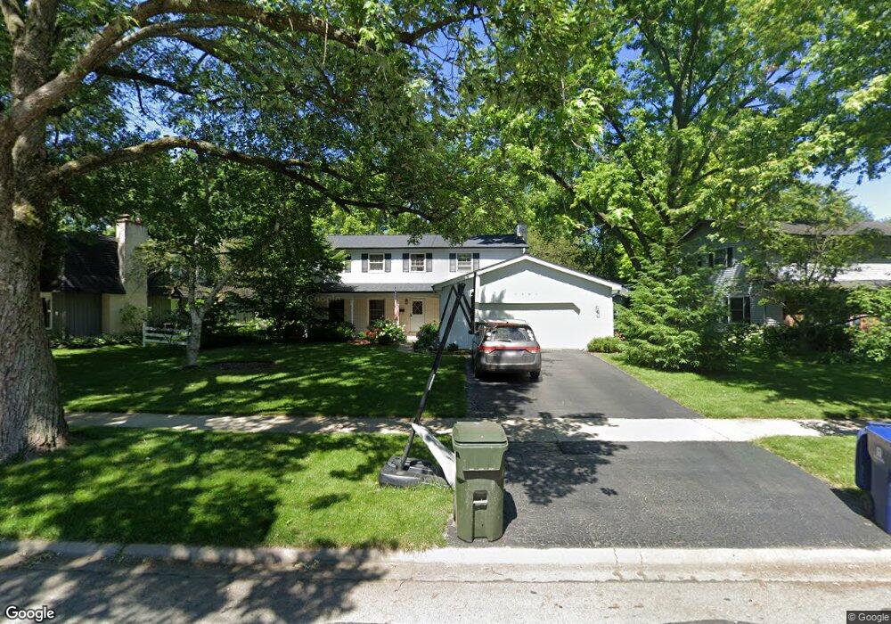
1561 Towhee Ln Naperville, IL 60565
Maple Brook NeighborhoodEstimated Value: $614,783 - $641,000
4
Beds
3
Baths
2,322
Sq Ft
$271/Sq Ft
Est. Value
About This Home
This home is located at 1561 Towhee Ln, Naperville, IL 60565 and is currently estimated at $628,196, approximately $270 per square foot. 1561 Towhee Ln is a home located in DuPage County with nearby schools including Maplebrook Elementary School, Lincoln Jr. High School, and Naperville Central High School.
Ownership History
Date
Name
Owned For
Owner Type
Purchase Details
Closed on
Nov 20, 2020
Sold by
Kukis Joseph S and Kukis Karin
Bought by
Kukis Joseph S and Kukis Karin Susanne
Current Estimated Value
Purchase Details
Closed on
Aug 4, 2009
Sold by
Duffy Leo J and Duffy Mary Therese
Bought by
Kukis Joseph S and Kukis Karin
Home Financials for this Owner
Home Financials are based on the most recent Mortgage that was taken out on this home.
Original Mortgage
$290,000
Outstanding Balance
$191,764
Interest Rate
5.49%
Mortgage Type
Purchase Money Mortgage
Estimated Equity
$436,432
Purchase Details
Closed on
Sep 24, 2007
Sold by
Duffy Leo J and Duffy Mary Therese
Bought by
Duffy Leo J and Duffy Mary Therese
Create a Home Valuation Report for This Property
The Home Valuation Report is an in-depth analysis detailing your home's value as well as a comparison with similar homes in the area
Home Values in the Area
Average Home Value in this Area
Purchase History
| Date | Buyer | Sale Price | Title Company |
|---|---|---|---|
| Kukis Joseph S | -- | Attorney | |
| Kukis Joseph S | $362,500 | Ticor | |
| Duffy Leo J | -- | None Available |
Source: Public Records
Mortgage History
| Date | Status | Borrower | Loan Amount |
|---|---|---|---|
| Open | Kukis Joseph S | $290,000 |
Source: Public Records
Tax History Compared to Growth
Tax History
| Year | Tax Paid | Tax Assessment Tax Assessment Total Assessment is a certain percentage of the fair market value that is determined by local assessors to be the total taxable value of land and additions on the property. | Land | Improvement |
|---|---|---|---|---|
| 2024 | $9,574 | $164,278 | $74,343 | $89,935 |
| 2023 | $9,222 | $149,930 | $67,850 | $82,080 |
| 2022 | $8,853 | $142,790 | $64,620 | $78,170 |
| 2021 | $8,529 | $137,390 | $62,180 | $75,210 |
| 2020 | $8,346 | $134,920 | $61,060 | $73,860 |
| 2019 | $8,102 | $129,090 | $58,420 | $70,670 |
| 2018 | $7,897 | $125,940 | $56,990 | $68,950 |
| 2017 | $7,736 | $121,690 | $55,070 | $66,620 |
| 2016 | $7,580 | $117,290 | $53,080 | $64,210 |
| 2015 | $7,530 | $110,460 | $49,990 | $60,470 |
| 2014 | $7,384 | $105,200 | $47,610 | $57,590 |
| 2013 | $7,273 | $105,450 | $47,720 | $57,730 |
Source: Public Records
Map
Nearby Homes
- 213 Winding Creek Dr
- 1408 Swallow St
- 1751 S Washington St Unit 1
- 128 E Bailey Rd Unit G
- 138 E Bailey Rd Unit M
- 158 E Bailey Rd Unit F
- 1443 Meander Dr
- 1449 Whitespire Ct Unit 5104
- 8S452 Bell Dr
- 1921 Wisteria Ct Unit 3
- 621 Bourbon Ct
- 517 Sheffield Rd
- 303 Cedarbrook Rd
- 302 Carriage Hill Rd
- 344 Waxwing Ave
- 165 Tamarack Ave
- 23 Glencoe Ct Unit 202B
- 47 Glencoe Ct Unit 102D
- 2132 Berkley Ct Unit 201A
- 336 Brooklea Ct