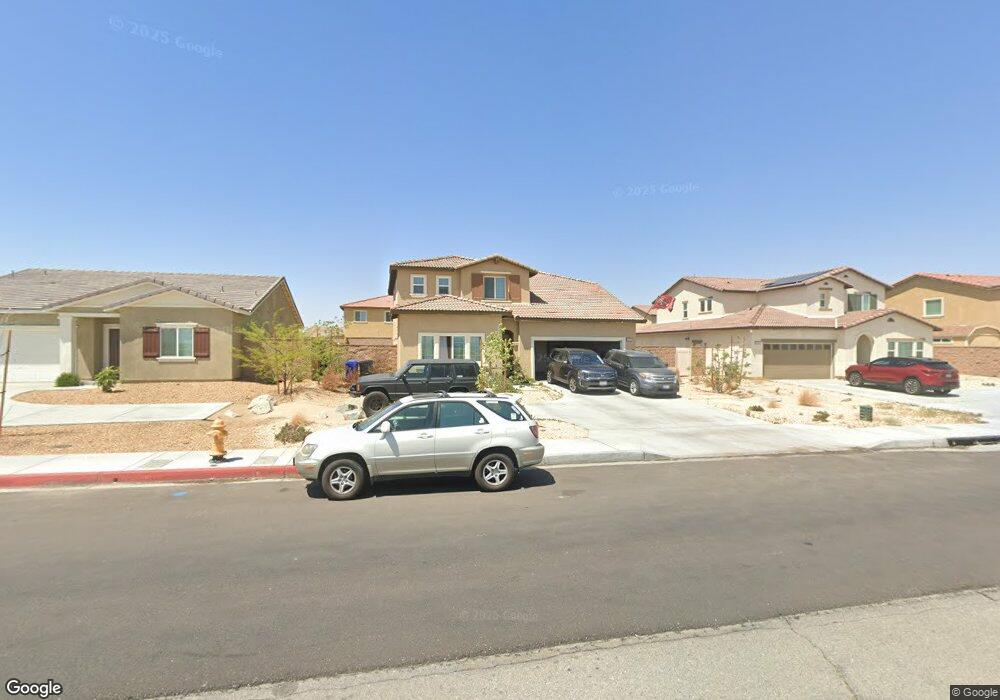
15612 Cobalt Rd Victorville, CA 92394
Mesa Linda NeighborhoodEstimated Value: $527,206 - $581,000
4
Beds
3
Baths
2,617
Sq Ft
$211/Sq Ft
Est. Value
About This Home
This home is located at 15612 Cobalt Rd, Victorville, CA 92394 and is currently estimated at $552,552, approximately $211 per square foot. 15612 Cobalt Rd is a home with nearby schools including West Creek Elementary School, Columbia Middle School, and Adelanto High School.
Ownership History
Date
Name
Owned For
Owner Type
Purchase Details
Closed on
May 13, 2022
Sold by
Dr Horton Los Angeles Hldg Co
Bought by
Mokuolu Olumuyiwa and Mokuolu Folashade O
Current Estimated Value
Home Financials for this Owner
Home Financials are based on the most recent Mortgage that was taken out on this home.
Original Mortgage
$509,689
Interest Rate
5.25%
Mortgage Type
New Conventional
Purchase Details
Closed on
Jun 20, 2011
Sold by
Sa California Group Inc
Bought by
Cobalt & Mojave Desert Llc
Create a Home Valuation Report for This Property
The Home Valuation Report is an in-depth analysis detailing your home's value as well as a comparison with similar homes in the area
Home Values in the Area
Average Home Value in this Area
Purchase History
| Date | Buyer | Sale Price | Title Company |
|---|---|---|---|
| Mokuolu Olumuyiwa | $537,000 | Lawyers Title | |
| Cobalt & Mojave Desert Llc | -- | First American Title Nhs |
Source: Public Records
Mortgage History
| Date | Status | Borrower | Loan Amount |
|---|---|---|---|
| Previous Owner | Mokuolu Olumuyiwa | $509,689 |
Source: Public Records
Tax History Compared to Growth
Tax History
| Year | Tax Paid | Tax Assessment Tax Assessment Total Assessment is a certain percentage of the fair market value that is determined by local assessors to be the total taxable value of land and additions on the property. | Land | Improvement |
|---|---|---|---|---|
| 2025 | $9,725 | $569,354 | $91,810 | $477,544 |
| 2024 | $9,725 | $558,190 | $90,010 | $468,180 |
| 2023 | $9,603 | $547,245 | $88,245 | $459,000 |
| 2022 | $3,404 | $28,087 | $28,087 | $0 |
| 2021 | $434 | $4,411 | $4,411 | $0 |
| 2020 | $432 | $4,366 | $4,366 | $0 |
| 2019 | $431 | $4,280 | $4,280 | $0 |
| 2018 | $432 | $4,196 | $4,196 | $0 |
| 2017 | $430 | $4,114 | $4,114 | $0 |
| 2016 | $429 | $4,033 | $4,033 | $0 |
| 2015 | $401 | $3,972 | $3,972 | $0 |
| 2014 | $390 | $3,894 | $3,894 | $0 |
Source: Public Records
Map
Nearby Homes
- 15667 San Diego Ln
- 15522 San Francisco Ln
- 13613 Flying Cloud Way
- 13621 Flying Cloud Way
- 13108 Solar Bay Ln
- 13645 Flying Cloud Way
- 13644 Flying Cloud Way
- 13650 Flying Cloud Way
- 15165 Bluffside Ln
- 15444 Tomahawk St
- 13662 Flying Cloud Way
- 15438 Tomahawk St
- 15432 Tomahawk St
- 15426 Tomahawk St
- 15184 Brucite Rd
- 15134 Paseo Verde Place
- 15485 Tomahawk St
- 15473 Tomahawk St
- 15467 Tomahawk St
- 15461 Tomahawk St
- 15604 Cobalt Rd
- 15620 Cobalt Rd
- 15651 San Diego Ln
- 15628 Cobalt Rd
- 15596 Cobalt Rd
- 15635 San Diego Ln
- 15683 San Diego Ln
- 15619 San Diego Ln
- 15588 Cobalt Rd
- 15636 Cobalt Rd
- 15699 San Diego Ln
- 15603 San Diego Ln
- 15580 Cobalt Rd
- 15644 Cobalt Rd
- 15656 San Diego Ln
- 15672 San Diego Ln
- 15715 San Diego Ln
- 15587 San Diego Ln
- 15688 San Diego Ln
- 15624 San Diego Ln