1562 Forest Haven Dr Robertsville, MO 63072
Estimated Value: $97,470 - $138,000
2
Beds
2
Baths
952
Sq Ft
$124/Sq Ft
Est. Value
About This Home
This home is located at 1562 Forest Haven Dr, Robertsville, MO 63072 and is currently estimated at $117,735, approximately $123 per square foot. 1562 Forest Haven Dr is a home located in Franklin County with nearby schools including Lonedell Elementary School.
Ownership History
Date
Name
Owned For
Owner Type
Purchase Details
Closed on
Feb 26, 2015
Sold by
Levvintre Mitchel
Bought by
Collins Jonathan D
Current Estimated Value
Purchase Details
Closed on
Mar 12, 2010
Sold by
Federal National Mortgage Association
Bought by
Levintirg Mitchel
Home Financials for this Owner
Home Financials are based on the most recent Mortgage that was taken out on this home.
Original Mortgage
$37,175
Interest Rate
4.93%
Mortgage Type
Farmers Home Administration
Purchase Details
Closed on
Oct 27, 2009
Sold by
Kozeny & Mccubbin Lc
Bought by
Federal National Mortgage Association
Purchase Details
Closed on
Aug 24, 2007
Sold by
Vollmer Timothy J and Vollmer Amy
Bought by
Eckhardt Wallace
Home Financials for this Owner
Home Financials are based on the most recent Mortgage that was taken out on this home.
Original Mortgage
$56,610
Interest Rate
6.72%
Mortgage Type
New Conventional
Create a Home Valuation Report for This Property
The Home Valuation Report is an in-depth analysis detailing your home's value as well as a comparison with similar homes in the area
Home Values in the Area
Average Home Value in this Area
Purchase History
| Date | Buyer | Sale Price | Title Company |
|---|---|---|---|
| Collins Jonathan D | $50,000 | -- | |
| Levintirg Mitchel | -- | None Available | |
| Federal National Mortgage Association | -- | None Available | |
| Eckhardt Wallace | -- | None Available |
Source: Public Records
Mortgage History
| Date | Status | Borrower | Loan Amount |
|---|---|---|---|
| Previous Owner | Levintirg Mitchel | $37,175 | |
| Previous Owner | Eckhardt Wallace | $56,610 |
Source: Public Records
Tax History Compared to Growth
Tax History
| Year | Tax Paid | Tax Assessment Tax Assessment Total Assessment is a certain percentage of the fair market value that is determined by local assessors to be the total taxable value of land and additions on the property. | Land | Improvement |
|---|---|---|---|---|
| 2025 | $727 | $11,781 | $0 | $0 |
| 2024 | $727 | $9,634 | $0 | $0 |
| 2023 | $561 | $9,634 | $0 | $0 |
| 2022 | $488 | $8,371 | $0 | $0 |
| 2021 | $487 | $8,371 | $0 | $0 |
| 2020 | $546 | $9,228 | $0 | $0 |
| 2019 | $545 | $9,228 | $0 | $0 |
| 2018 | $504 | $8,481 | $0 | $0 |
| 2017 | $500 | $8,481 | $0 | $0 |
| 2016 | $492 | $8,350 | $0 | $0 |
| 2015 | $490 | $8,350 | $0 | $0 |
| 2014 | $532 | $9,526 | $0 | $0 |
Source: Public Records
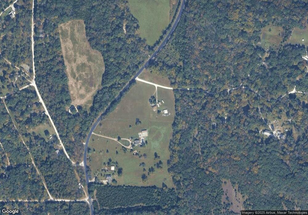
Map
Nearby Homes
- 2227 State Route N
- 4373 E Linda Ln
- 5199 Highway N
- 4398 E Linda Ln
- 563 Calvey Heights Ct
- 0 N Hendricks Rd Unit MIS25078611
- 1811 Hendricks Rd
- 1855 Hendricks Rd
- 0 Woodland Valley Dr Unit MAR25002747
- 0 Watts Ridge Dr
- 420 Nancy Dr
- 525 Cedar View Dr
- 7816 Rye Creek Rd
- 8716 Highway Hh
- 5563 E Anding Dr
- 000 Forest Rd
- 000 Fairview Church Rd
- Parkway Dr
- 4143 Highway N
- 10262 Hawks Rd
- 5422 Highway N
- 1538 Forest Haven Dr
- 5448 Highway N
- 5431 Highway N
- 6139 Mohican Dr
- 6115 Mohican Dr
- 1502 Forest Haven Dr
- 1605 Apache Way
- 6111 Mohican Dr
- 1550 Forest Haven Dr
- 11Lot 11 Forest Haven Dr
- 6130 Comanche Rd
- 1525 Forest Haven Dr
- 1620 Apache Way
- 5484 Highway N
- 6024 Mohican Dr
- 6060 Comanche Rd
- 1614 Navajo Trail
- 1603 Choctaw Ct
- 1501 Forest Haven Dr