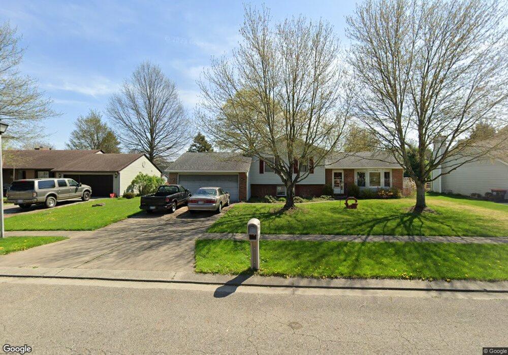
1562 Independence Dr Newark, OH 43055
Estimated Value: $315,000 - $336,000
5
Beds
3
Baths
1,682
Sq Ft
$195/Sq Ft
Est. Value
About This Home
This home is located at 1562 Independence Dr, Newark, OH 43055 and is currently estimated at $327,606, approximately $194 per square foot. 1562 Independence Dr is a home located in Licking County with nearby schools including Legend Elementary School, Liberty Middle School, and Newark High School.
Ownership History
Date
Name
Owned For
Owner Type
Purchase Details
Closed on
Aug 12, 2004
Sold by
Colling Kasandra R
Bought by
Woodman Robert T and Woodman Christine L
Current Estimated Value
Home Financials for this Owner
Home Financials are based on the most recent Mortgage that was taken out on this home.
Original Mortgage
$32,000
Outstanding Balance
$15,974
Interest Rate
6.1%
Mortgage Type
Unknown
Estimated Equity
$311,632
Create a Home Valuation Report for This Property
The Home Valuation Report is an in-depth analysis detailing your home's value as well as a comparison with similar homes in the area
Home Values in the Area
Average Home Value in this Area
Purchase History
| Date | Buyer | Sale Price | Title Company |
|---|---|---|---|
| Woodman Robert T | $142,000 | Security Union Title Ins Co |
Source: Public Records
Mortgage History
| Date | Status | Borrower | Loan Amount |
|---|---|---|---|
| Open | Woodman Robert T | $32,000 |
Source: Public Records
Tax History Compared to Growth
Tax History
| Year | Tax Paid | Tax Assessment Tax Assessment Total Assessment is a certain percentage of the fair market value that is determined by local assessors to be the total taxable value of land and additions on the property. | Land | Improvement |
|---|---|---|---|---|
| 2024 | $2,897 | $81,030 | $21,180 | $59,850 |
| 2023 | $2,891 | $81,030 | $21,180 | $59,850 |
| 2022 | $3,305 | $59,010 | $12,670 | $46,340 |
| 2021 | $2,481 | $59,010 | $12,670 | $46,340 |
| 2020 | $2,539 | $59,010 | $12,670 | $46,340 |
| 2019 | $2,196 | $49,180 | $10,570 | $38,610 |
| 2018 | $2,172 | $0 | $0 | $0 |
| 2017 | $2,126 | $0 | $0 | $0 |
| 2016 | $2,101 | $0 | $0 | $0 |
| 2015 | $2,147 | $0 | $0 | $0 |
| 2014 | $2,750 | $0 | $0 | $0 |
| 2013 | $2,141 | $0 | $0 | $0 |
Source: Public Records
Map
Nearby Homes
- 1518 Constitution Ct
- 1684 Churchill Downs Rd
- 1495 Kenarbre Dr
- 505 Courtney Dr
- 336 Myrtle Ave
- 1345 Sherwood Downs Rd W
- 267 Goosepond Rd Unit A
- 261 Goosepond Rd Unit D
- 139 Aqueduct Ave
- 259 Goosepond Rd Unit C
- 734 Whitetail Loop
- 763 Whitetail Loop
- 750 Whitetail Loop
- 752 Whitetail Loop
- 106 Santa Anita Ave Unit 21A
- 1831 Churchill Downs Rd
- 105 Pimlico Ave
- 1738 Scioto Way
- 681 Woods Edge Ln
- 47 Northpointe Ln Unit 47
- 1570 Independence Dr
- 1554 Independence Dr
- 1561 Paul Revere Dr
- 1578 Independence Dr
- 1546 Independence Dr
- 1569 Paul Revere Dr
- 1559 Independence Dr
- 1555 Paul Revere Dr
- 1567 Independence Dr
- 1551 Independence Dr
- 492 Pewter Dr
- 1575 Independence Dr
- 1538 Independence Dr
- 1586 Independence Dr
- 1577 Paul Revere Dr
- 1541 Independence Dr
- 1583 Independence Dr
- 486 Pewter Dr
- 1549 Paul Revere Dr
- 1560 Jamestown Ct