1562 Jones Rd Minooka, IL 60447
North Minooka NeighborhoodEstimated Value: $585,000 - $865,000
3
Beds
1
Bath
1,552
Sq Ft
$467/Sq Ft
Est. Value
About This Home
This home is located at 1562 Jones Rd, Minooka, IL 60447 and is currently estimated at $724,651, approximately $466 per square foot. 1562 Jones Rd is a home located in Kendall County with nearby schools including Jones Elementary School, Minooka Junior High School, and Minooka Intermediate School.
Ownership History
Date
Name
Owned For
Owner Type
Purchase Details
Closed on
Feb 3, 2012
Sold by
Brummel Mark
Bought by
Erb Properties Llc
Current Estimated Value
Purchase Details
Closed on
Oct 28, 2011
Sold by
First Midwest Bank
Bought by
Erb Properties Llc
Purchase Details
Closed on
Mar 1, 2011
Sold by
Baker Carolyn J
Bought by
Brummel Mark and First Midwest Bank
Create a Home Valuation Report for This Property
The Home Valuation Report is an in-depth analysis detailing your home's value as well as a comparison with similar homes in the area
Home Values in the Area
Average Home Value in this Area
Purchase History
| Date | Buyer | Sale Price | Title Company |
|---|---|---|---|
| Erb Properties Llc | -- | None Available | |
| Erb Properties Llc | -- | None Available | |
| Brummel Mark | $408,500 | Chicago Title Insurance Co | |
| Brummel Mark | $408,500 | Chicago Title Insurance Co |
Source: Public Records
Tax History
| Year | Tax Paid | Tax Assessment Tax Assessment Total Assessment is a certain percentage of the fair market value that is determined by local assessors to be the total taxable value of land and additions on the property. | Land | Improvement |
|---|---|---|---|---|
| 2024 | $10,866 | $141,143 | $74,476 | $66,667 |
| 2023 | $8,839 | $128,943 | $68,621 | $60,322 |
| 2022 | $8,839 | $111,350 | $60,519 | $50,831 |
| 2021 | $8,444 | $103,723 | $56,199 | $47,524 |
| 2020 | $8,022 | $96,794 | $51,723 | $45,071 |
| 2019 | $7,726 | $91,179 | $47,789 | $43,390 |
| 2018 | $7,266 | $86,023 | $44,529 | $41,494 |
| 2017 | $7,143 | $80,892 | $41,549 | $39,343 |
| 2016 | $6,698 | $75,295 | $38,747 | $36,548 |
| 2015 | $6,552 | $72,865 | $36,317 | $36,548 |
| 2014 | -- | $69,686 | $33,138 | $36,548 |
| 2013 | -- | $67,346 | $30,798 | $36,548 |
Source: Public Records
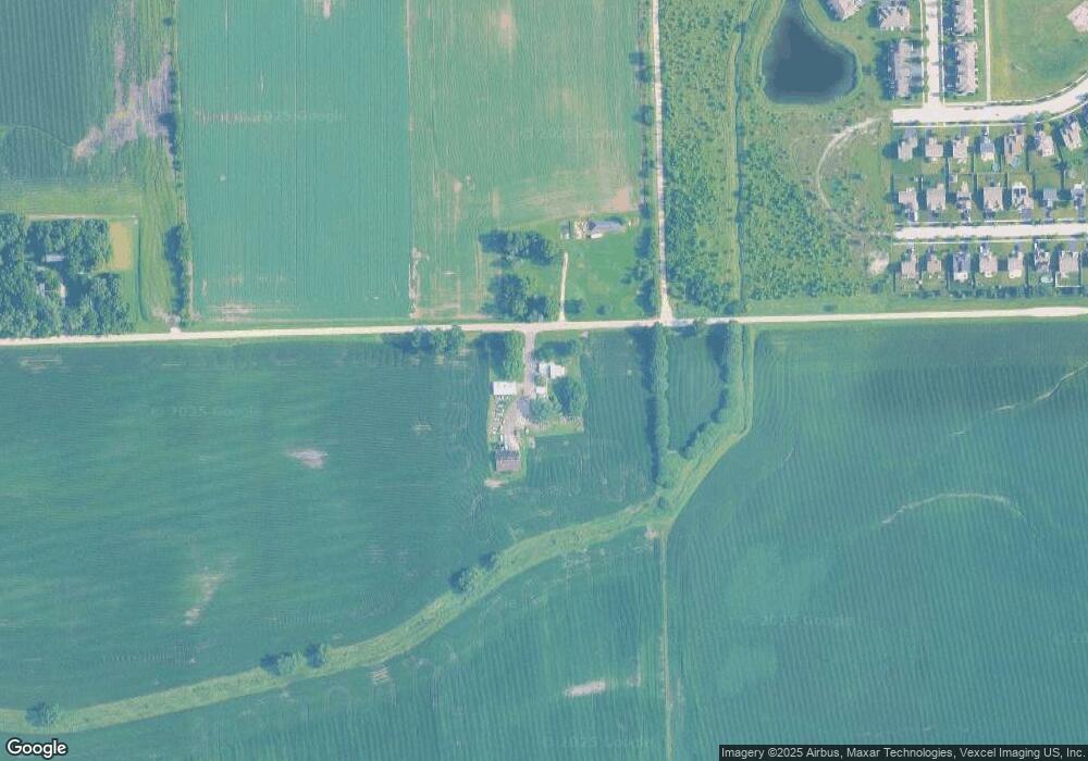
Map
Nearby Homes
- 8010 Wood River St
- 8021 Harrier Ave
- 906 Bluebell Cir
- 901 Sable Ridge Dr
- 8500 Sawyer Ct
- 8508 Sawyer Ct
- 8038 Bluestem Ave
- 8513 Sawyer Ct
- 8301 Trumbull Ave
- 8406 Coop Ave
- 1008 Heron Cir Unit 1
- 1047 Heron Cir
- 1107 Van Dyke Rd
- 1003 Plaintain Dr
- 7607 Blueblossom Ln
- 7801 Jewelflower Ct
- 7809 Nightshade Ln
- 7730 Nightshade Ln
- 7720 Nightshade Ln
- 7711 Nightshade Ln
- 8116 Wood River St
- 1549 Jones Rd
- 8117 Wood River St
- 8114 Wood River St
- 8116 Expedition St
- 8115 Wood River St
- 8112 Wood River St
- 8114 Expedition St
- 008 Expedition St
- 002 Expedition St
- 8113 Wood River St
- 8110 Wood River St
- 501 Fort Clatsop Ct
- 501 Fort Clatsop Ct Unit 501
- 503 Fort Clatsop Ct Unit 503
- 505 Fort Clatsop Ct
- 507 Fort Clatsop Ct Unit 507
- 507 Fort Clatsop Ct Unit 5
- 8112 Expedition St
- 517 Fort Clatsop Ct
Your Personal Tour Guide
Ask me questions while you tour the home.