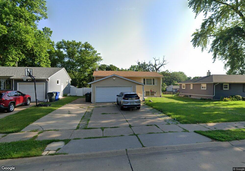
1562 W 29th St Davenport, IA 52804
Northwest Davenport NeighborhoodEstimated Value: $184,000 - $216,000
4
Beds
3
Baths
1,008
Sq Ft
$195/Sq Ft
Est. Value
About This Home
This home is located at 1562 W 29th St, Davenport, IA 52804 and is currently estimated at $196,629, approximately $195 per square foot. 1562 W 29th St is a home located in Scott County with nearby schools including Tygart Creek Elementary School, Adams Elementary School, and Christian County Day Treatment Center Alt.
Ownership History
Date
Name
Owned For
Owner Type
Purchase Details
Closed on
Nov 30, 2007
Sold by
Haas Edmond D and Haas Marvella S
Bought by
Belville Douglas D and Belville Raquel M
Current Estimated Value
Home Financials for this Owner
Home Financials are based on the most recent Mortgage that was taken out on this home.
Original Mortgage
$127,000
Outstanding Balance
$80,063
Interest Rate
6.31%
Mortgage Type
VA
Estimated Equity
$116,566
Create a Home Valuation Report for This Property
The Home Valuation Report is an in-depth analysis detailing your home's value as well as a comparison with similar homes in the area
Home Values in the Area
Average Home Value in this Area
Purchase History
| Date | Buyer | Sale Price | Title Company |
|---|---|---|---|
| Belville Douglas D | $127,000 | None Available |
Source: Public Records
Mortgage History
| Date | Status | Borrower | Loan Amount |
|---|---|---|---|
| Open | Belville Douglas D | $127,000 |
Source: Public Records
Tax History Compared to Growth
Tax History
| Year | Tax Paid | Tax Assessment Tax Assessment Total Assessment is a certain percentage of the fair market value that is determined by local assessors to be the total taxable value of land and additions on the property. | Land | Improvement |
|---|---|---|---|---|
| 2025 | -- | $186,290 | $22,880 | $163,410 |
| 2024 | -- | $158,440 | $22,880 | $135,560 |
| 2023 | -- | $158,440 | $22,880 | $135,560 |
| 2022 | $0 | $150,450 | $22,880 | $127,570 |
| 2021 | $0 | $144,120 | $22,880 | $121,240 |
| 2020 | $2,732 | $125,750 | $22,880 | $102,870 |
| 2019 | $2,732 | $122,600 | $22,880 | $99,720 |
| 2018 | $0 | $122,600 | $22,880 | $99,720 |
| 2017 | $0 | $122,600 | $22,880 | $99,720 |
| 2016 | -- | $122,600 | $0 | $0 |
| 2015 | $2,560 | $117,320 | $0 | $0 |
| 2014 | $2,560 | $117,320 | $0 | $0 |
| 2013 | $2,560 | $0 | $0 | $0 |
| 2012 | -- | $109,850 | $21,780 | $88,070 |
Source: Public Records
Map
Nearby Homes
- 1514 W Garfield St
- 3433 Washington St
- 1358 W Garfield St
- 1636 W Columbia Ave
- 1548 W Central Park Ave
- 3438 Taylor St
- 2640 Wilkes Ave
- 3612 Wilkes Ave
- 2508 N Sturdevant St
- 2738 Kelling St
- 3719 Wilkes Ave
- 2149 W 30th St
- 1344 W 37th St
- 2424 Davie St
- Lot 29 W 34th St
- 3831 N Sturdevant St
- 2222 W 30th St
- 1517 W Kimberly Rd
- 2221 Madison St
- 2159 W 35th St
- 1604 W 29th St
- 1556 W 29th St
- 1555 W George Washington Blvd
- 1561 W George Washington Blvd
- 1610 W 29th St
- 1550 W 29th St
- 1549 W George Washington Blvd
- 1561 W 29th St
- 1603 W George Washington Blvd
- 1555 W 29th St
- 1603 W 29th St
- 1618 W 29th St
- 1549 W 29th St
- 1544 W 29th St
- 1611 W George Washington Blvd
- 1609 W 29th St
- 1543 W George Washington Blvd
- 1543 W 29th St
- 1615 W 29th St
- 1617 W George Washington Blvd