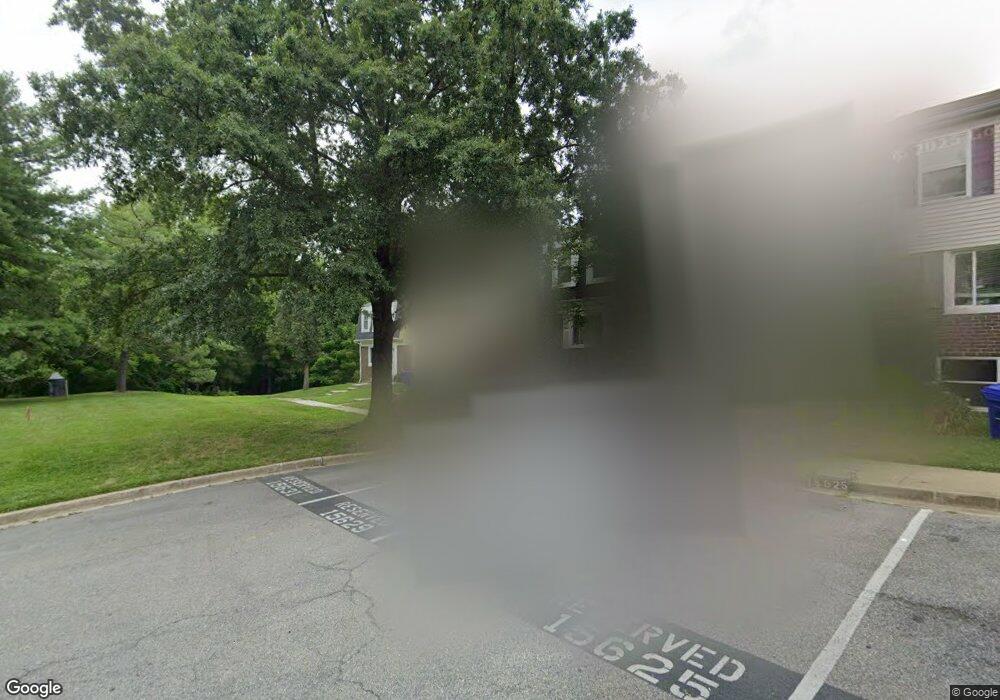
15629 Plaid Dr Laurel, MD 20707
Estimated Value: $328,000 - $361,503
Studio
3
Baths
1,176
Sq Ft
$291/Sq Ft
Est. Value
About This Home
This home is located at 15629 Plaid Dr, Laurel, MD 20707 and is currently estimated at $342,126, approximately $290 per square foot. 15629 Plaid Dr is a home located in Prince George's County with nearby schools including Scotchtown Hills Elementary School, Dwight D. Eisenhower Middle School, and Laurel High School.
Ownership History
Date
Name
Owned For
Owner Type
Purchase Details
Closed on
Mar 21, 2005
Sold by
Livingston Marcia R
Bought by
Wiggins Shannon
Current Estimated Value
Home Financials for this Owner
Home Financials are based on the most recent Mortgage that was taken out on this home.
Original Mortgage
$215,000
Outstanding Balance
$108,999
Interest Rate
5.61%
Mortgage Type
New Conventional
Estimated Equity
$233,127
Purchase Details
Closed on
May 31, 2002
Sold by
Onwudiachi Benjamin O Etal
Bought by
Livingston Marcia R and Urel Thompso
Purchase Details
Closed on
Apr 14, 1992
Sold by
Mastalerz Anthony
Bought by
Onwudiachi Benjamin O
Create a Home Valuation Report for This Property
The Home Valuation Report is an in-depth analysis detailing your home's value as well as a comparison with similar homes in the area
Home Values in the Area
Average Home Value in this Area
Purchase History
| Date | Buyer | Sale Price | Title Company |
|---|---|---|---|
| Wiggins Shannon | $215,000 | -- | |
| Livingston Marcia R | $135,000 | -- | |
| Onwudiachi Benjamin O | $115,900 | -- |
Source: Public Records
Mortgage History
| Date | Status | Borrower | Loan Amount |
|---|---|---|---|
| Open | Wiggins Shannon | $215,000 |
Source: Public Records
Tax History
| Year | Tax Paid | Tax Assessment Tax Assessment Total Assessment is a certain percentage of the fair market value that is determined by local assessors to be the total taxable value of land and additions on the property. | Land | Improvement |
|---|---|---|---|---|
| 2025 | $4,645 | $304,400 | $90,000 | $214,400 |
| 2024 | $4,645 | $288,067 | -- | -- |
| 2023 | $4,411 | $271,733 | $0 | $0 |
| 2022 | $4,139 | $255,400 | $75,000 | $180,400 |
| 2021 | $3,911 | $241,967 | $0 | $0 |
| 2020 | $3,763 | $228,533 | $0 | $0 |
| 2019 | $3,608 | $215,100 | $75,000 | $140,100 |
| 2018 | $3,435 | $201,367 | $0 | $0 |
| 2017 | $3,281 | $187,633 | $0 | $0 |
| 2016 | -- | $173,900 | $0 | $0 |
| 2015 | $3,069 | $168,867 | $0 | $0 |
| 2014 | $3,069 | $163,833 | $0 | $0 |
Source: Public Records
Map
Nearby Homes
- 7012 Scotch Dr
- 7002 Scotch Dr
- 6915 Scotch Dr
- 6918 Scotch Dr
- 7019 Fitzpatrick Dr
- 15800 Kerr Rd
- 15712 Dorset Rd Unit 104
- 7600 Lord Snowden Cir
- 7103 Split Rail Ln
- 15708 Dorset Rd Unit 202
- 15706 Dorset Rd Unit 102
- 15603 Dorset Rd Unit 101
- 16100 Malcolm Dr
- 15743 Millbrook Ln
- 7106 Donston Dr
- 6504 Walker Branch Dr
- 15709 Bond Mill Rd
- 7651 E Arbory Ct
- 7209 Brooklyn Bridge Rd
- 7208 Cherry Ln
- 15627 Plaid Dr
- 15631 Plaid Dr
- 15625 Plaid Dr
- 15623 Plaid Dr
- 15621 Plaid Dr
- 7121 Carriage Hill Dr
- 15619 Plaid Dr
- 7123 Carriage Hill Dr
- 7119 Carriage Hill Dr
- 15617 Plaid Dr
- 7117 Carriage Hill Dr
- 7125 Carriage Hill Dr
- 7115 Carriage Hill Dr
- 15615 Plaid Dr
- 15613 Plaid Dr
- 15622 Plaid Dr
- 15611 Plaid Dr
- 15609 Plaid Dr
- 7127 Carriage Hill Dr
- 15607 Plaid Dr
Your Personal Tour Guide
Ask me questions while you tour the home.