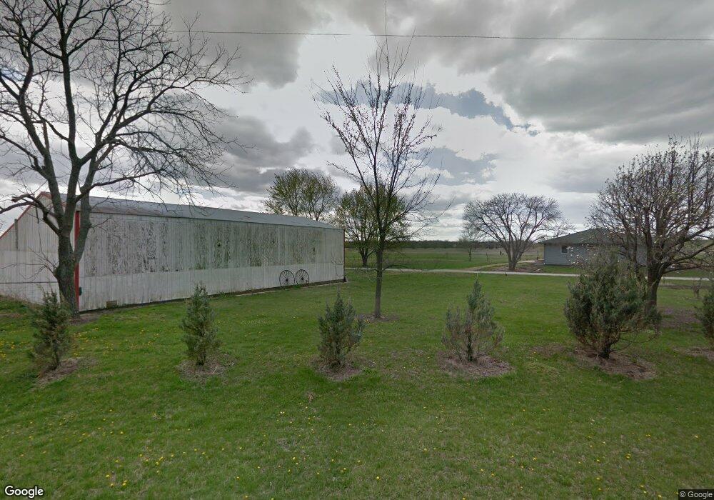
1563 N 450th Rd Baldwin City, KS 66006
Estimated Value: $387,000 - $517,000
3
Beds
3
Baths
1,580
Sq Ft
$277/Sq Ft
Est. Value
About This Home
This home is located at 1563 N 450th Rd, Baldwin City, KS 66006 and is currently estimated at $437,726, approximately $277 per square foot. 1563 N 450th Rd is a home located in Douglas County with nearby schools including Baldwin Elementary Primary Center, Baldwin Elementary Intermediate Center, and Baldwin Junior High School.
Ownership History
Date
Name
Owned For
Owner Type
Purchase Details
Closed on
Jun 27, 2007
Sold by
Moody Jerry Jim and Moody Barbara Jean
Bought by
Mallon Timothy J and Mallon Kitrina R
Current Estimated Value
Home Financials for this Owner
Home Financials are based on the most recent Mortgage that was taken out on this home.
Original Mortgage
$140,000
Outstanding Balance
$87,687
Interest Rate
6.54%
Mortgage Type
Purchase Money Mortgage
Estimated Equity
$350,039
Create a Home Valuation Report for This Property
The Home Valuation Report is an in-depth analysis detailing your home's value as well as a comparison with similar homes in the area
Home Values in the Area
Average Home Value in this Area
Purchase History
| Date | Buyer | Sale Price | Title Company |
|---|---|---|---|
| Mallon Timothy J | -- | First American Title |
Source: Public Records
Mortgage History
| Date | Status | Borrower | Loan Amount |
|---|---|---|---|
| Open | Mallon Timothy J | $140,000 |
Source: Public Records
Tax History Compared to Growth
Tax History
| Year | Tax Paid | Tax Assessment Tax Assessment Total Assessment is a certain percentage of the fair market value that is determined by local assessors to be the total taxable value of land and additions on the property. | Land | Improvement |
|---|---|---|---|---|
| 2025 | $4,220 | $39,852 | $3,732 | $36,120 |
| 2024 | $4,220 | $37,631 | $3,116 | $34,515 |
| 2023 | $4,106 | $35,050 | $3,076 | $31,974 |
| 2022 | $3,988 | $32,845 | $3,009 | $29,836 |
| 2021 | $3,583 | $28,416 | $2,948 | $25,468 |
| 2020 | $3,446 | $26,974 | $2,948 | $24,026 |
| 2019 | $3,237 | $25,295 | $2,904 | $22,391 |
| 2018 | $3,141 | $24,422 | $2,768 | $21,654 |
| 2017 | $3,189 | $23,907 | $2,747 | $21,160 |
| 2016 | $2,697 | $20,524 | $771 | $19,753 |
| 2015 | $2,423 | $18,665 | $756 | $17,909 |
| 2014 | $1,236 | $18,653 | $744 | $17,909 |
Source: Public Records
Map
Nearby Homes
- 10.66 Acres M/L N 800 Rd
- Lot 7 Block 2 Bluestem Dr
- Lot 6 Block 2 Bluestem Dr
- Lot 4 Block 2 Bluestem Dr
- Lot 3 Block 2 Bluestem Dr
- Lot 5 Block 3 Bluestem Dr
- Lot 12 Block 2 Bluestem Dr
- Lot 9 Block 3 Bluestem Dr
- 1580 N 100 Rd
- 1560 N 100 Rd
- 124 E 1550 Rd
- 1580 N 100 Rd Unit Parcel 3
- 1560 N 100 Rd Unit Parcel 2
- 124 E 1550 Rd Unit Parcel 1
- 1246 & Parcel 4 N 1 Rd
- RDP2 N 400 Rd
- 1447 & 1449 N 150 Rd
- Lot 35 Settler Ln
- Lot 27 Wagon Rd
- Lot 26 Wagon Rd
- 1568 N 450th Rd
- 1558 N 450th Rd
- 1550 N 450th Rd
- 455 E 1550 Rd
- 451 E 1600 Rd
- 1590 N 450th Rd
- 471 E 1600th Rd
- 1597 N 450 Rd
- 1597 N 450th Rd
- 485 E 1600 Rd
- 1603 N 474th Rd
- 1564 N 400th Rd
- 424 E 1600 Rd
- 604 E 1400th Rd
- 495 E 1550th Rd
- 1538 N 400th Rd
- Land N 500 E 1550 Rd
- 1555 N 400th Rd
- 495 E 1550 Rd
- 450 E 1550 Rd