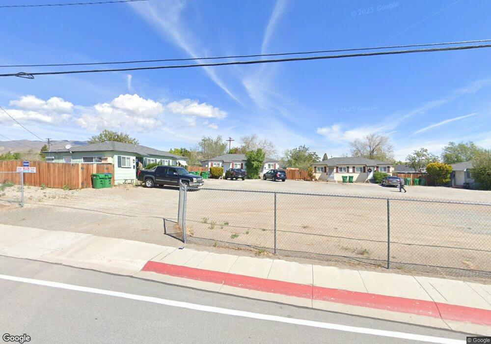
1563 W 7th St Reno, NV 89503
Kings Row NeighborhoodEstimated Value: $429,000 - $636,000
1
Bed
1
Bath
500
Sq Ft
$1,006/Sq Ft
Est. Value
About This Home
This home is located at 1563 W 7th St, Reno, NV 89503 and is currently estimated at $503,072, approximately $1,006 per square foot. 1563 W 7th St is a home located in Washoe County with nearby schools including Elmcrest Elementary School, Archie Clayton Pre-AP Academy, and Reno High School.
Ownership History
Date
Name
Owned For
Owner Type
Purchase Details
Closed on
Aug 13, 2014
Sold by
Dewitt James E
Bought by
Dewitt Eric and Dewitt Kenneth
Current Estimated Value
Purchase Details
Closed on
Aug 7, 2009
Sold by
Fisher James W
Bought by
Fisher James W and Fisher Denise L
Home Financials for this Owner
Home Financials are based on the most recent Mortgage that was taken out on this home.
Original Mortgage
$61,600
Interest Rate
5.37%
Mortgage Type
New Conventional
Create a Home Valuation Report for This Property
The Home Valuation Report is an in-depth analysis detailing your home's value as well as a comparison with similar homes in the area
Home Values in the Area
Average Home Value in this Area
Purchase History
| Date | Buyer | Sale Price | Title Company |
|---|---|---|---|
| Dewitt Eric | -- | None Available | |
| Fisher James W | -- | Marquis Title |
Source: Public Records
Mortgage History
| Date | Status | Borrower | Loan Amount |
|---|---|---|---|
| Closed | Fisher James W | $61,600 |
Source: Public Records
Tax History Compared to Growth
Tax History
| Year | Tax Paid | Tax Assessment Tax Assessment Total Assessment is a certain percentage of the fair market value that is determined by local assessors to be the total taxable value of land and additions on the property. | Land | Improvement |
|---|---|---|---|---|
| 2025 | $736 | $58,976 | $47,600 | $11,376 |
| 2024 | $736 | $58,597 | $47,040 | $11,557 |
| 2023 | $704 | $57,667 | $47,705 | $9,962 |
| 2022 | $684 | $48,340 | $39,900 | $8,440 |
| 2021 | $664 | $35,594 | $27,300 | $8,294 |
| 2020 | $644 | $35,515 | $27,300 | $8,215 |
| 2019 | $613 | $35,132 | $27,300 | $7,832 |
| 2018 | $583 | $23,948 | $16,450 | $7,498 |
| 2017 | $565 | $21,326 | $14,000 | $7,326 |
| 2016 | $548 | $19,227 | $11,900 | $7,327 |
| 2015 | $547 | $16,919 | $9,590 | $7,329 |
| 2014 | $532 | $16,312 | $9,450 | $6,862 |
| 2013 | -- | $13,966 | $7,280 | $6,686 |
Source: Public Records
Map
Nearby Homes
- 1801 Carlin St
- 895 Stoker Ave
- 90/100 Arden Cir
- 1785 Stardust St
- 1510 Majestic Dr Unit one
- 1600 Majestic Dr
- 1670 Majestic Dr
- 880 Ruby Ave
- 1970 W 6th St
- 2100 W 6th St
- 1217 Keystone Ave
- 1855 Prince Way
- 1415 Kings Row
- 1375 Wesley Dr
- 2260 W 6th St
- 2091 W 4th St
- 1540 King Edward Dr
- 850 W 11th St
- 840 Brookfield Dr
- 1702 Grandview Ave
- 1565 W 7th St
- 1559 W 7th St
- 1567 W 7th St
- 1520 University Terrace
- 1555 W 7th St
- 1530 University Terrace
- 1540 University Terrace
- 1450 University Terrace
- 1575 W 7th St
- 1550 University Terrace
- 1574 W 7th St
- 1430 University Terrace
- 1490 W 7th St
- 1510 W 7th St
- 685 Genoa Ave
- 1570 University Terrace
- 1550 W 7th St
- 695 Genoa Ave
- 801 Mallard Place
- 1400 University Terrace