15639 Robins Rd Johnstown, OH 43031
Harlem NeighborhoodEstimated Value: $970,000 - $1,747,098
4
Beds
5
Baths
3,800
Sq Ft
$338/Sq Ft
Est. Value
About This Home
This home is located at 15639 Robins Rd, Johnstown, OH 43031 and is currently estimated at $1,284,525, approximately $338 per square foot. 15639 Robins Rd is a home with nearby schools including Johnstown Middle School and Johnstown High School.
Ownership History
Date
Name
Owned For
Owner Type
Purchase Details
Closed on
Jun 6, 2023
Sold by
Morris Richard Keith and Morris Pamela Sue
Bought by
Morris Family Revocable Living Trust and Morris
Current Estimated Value
Purchase Details
Closed on
Jun 2, 2023
Sold by
Morris Richard Keith and Morris Pamela Sue
Bought by
Morris Family Revocable Living Trust
Purchase Details
Closed on
Sep 29, 2011
Sold by
Swackhammer Haegele Angela L
Bought by
Morris Richard Keith and Morris Pamela Sue
Home Financials for this Owner
Home Financials are based on the most recent Mortgage that was taken out on this home.
Original Mortgage
$200,000
Interest Rate
4.23%
Mortgage Type
Future Advance Clause Open End Mortgage
Create a Home Valuation Report for This Property
The Home Valuation Report is an in-depth analysis detailing your home's value as well as a comparison with similar homes in the area
Home Values in the Area
Average Home Value in this Area
Purchase History
| Date | Buyer | Sale Price | Title Company |
|---|---|---|---|
| Morris Family Revocable Living Trust | -- | None Listed On Document | |
| Morris Family Revocable Living Trust | -- | None Listed On Document | |
| Morris Richard Keith | $90,000 | Attorney | |
| Swackhammer Haegele Angela L | -- | Attorney |
Source: Public Records
Mortgage History
| Date | Status | Borrower | Loan Amount |
|---|---|---|---|
| Previous Owner | Morris Richard Keith | $200,000 |
Source: Public Records
Tax History Compared to Growth
Tax History
| Year | Tax Paid | Tax Assessment Tax Assessment Total Assessment is a certain percentage of the fair market value that is determined by local assessors to be the total taxable value of land and additions on the property. | Land | Improvement |
|---|---|---|---|---|
| 2024 | $13,899 | $382,030 | $66,890 | $315,140 |
| 2023 | $13,854 | $382,030 | $66,890 | $315,140 |
| 2022 | $10,429 | $254,700 | $46,800 | $207,900 |
| 2021 | $10,576 | $254,700 | $46,800 | $207,900 |
| 2020 | $10,685 | $254,700 | $46,800 | $207,900 |
| 2019 | $11,224 | $241,330 | $33,430 | $207,900 |
| 2018 | $11,215 | $240,600 | $33,430 | $207,170 |
| 2017 | $10,577 | $209,900 | $28,460 | $181,440 |
| 2016 | $10,125 | $209,900 | $28,460 | $181,440 |
| 2015 | $10,035 | $209,900 | $28,460 | $181,440 |
| 2014 | $10,258 | $209,900 | $28,460 | $181,440 |
| 2013 | $8,448 | $201,260 | $28,460 | $172,800 |
Source: Public Records
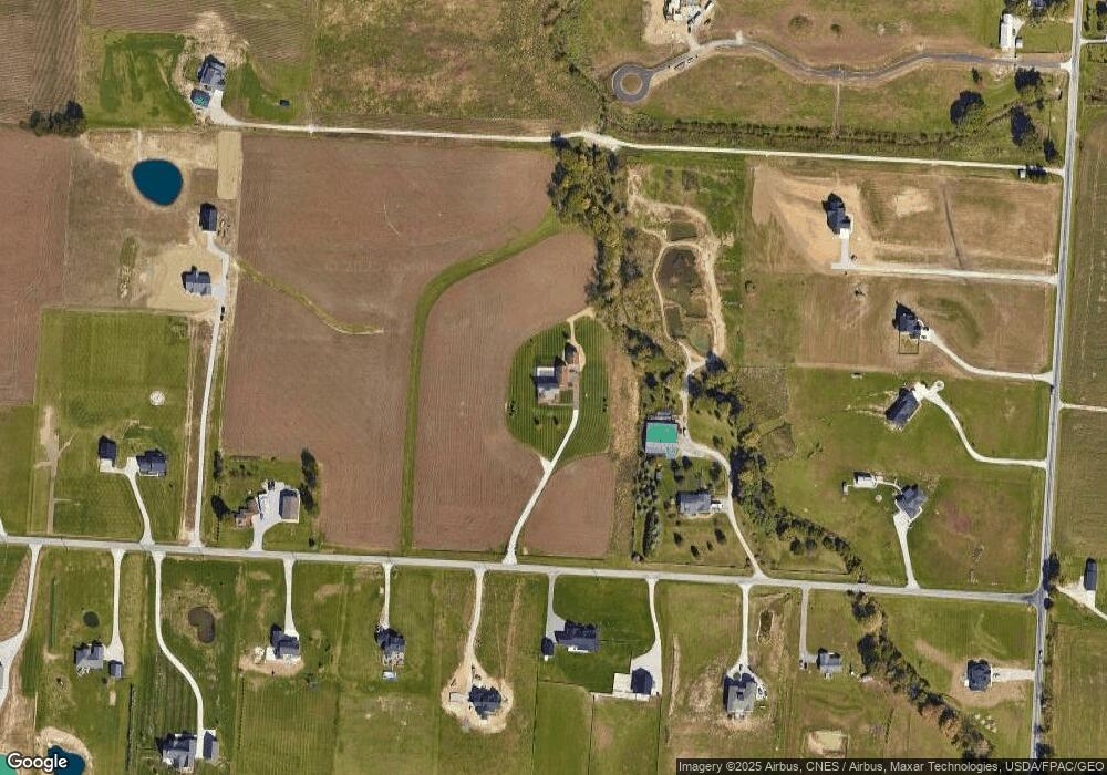
Map
Nearby Homes
- 3464 S County Line Rd
- 0 Robins Rd Unit 223016518
- 15550 Evans Rd
- 13900 Fancher Rd
- 13832 Fancher Rd
- 5535 Miller Church Rd
- 14859 Center Village Rd
- 13958 Johnstown Utica Rd
- 13601 Johnstown Utica Rd
- 14236 Blamer Rd
- 12733 Johnstown Utica Rd
- 12888 Green Chapel Rd NW
- 5659 Clover Valley Rd NW
- 11048 Johnstown Rd
- 5640 Clover Valley Rd
- 7850 Peter Hoover Rd
- 10981 Johnstown Rd
- 9061 Johnstown Alexandria Rd
- 5520 Clover Valley Rd NW
- 12550 Green Chapel Rd NW
- 15777 Robins Rd
- 15777 Robins Rd
- 15580 Robins Rd
- 15678 Robins Rd
- 15483 Robbins Rd
- 3322 S County Line Rd
- 15642 Robins Rd
- 15782 Robins Rd
- 3342 S County Line Rd
- 3418 S County Line Rd
- 15492 Robins Rd
- 15871 Robins Rd
- 15820 Robins Rd
- 15420 Robins Rd
- 15447 Robins Rd
- 15413 Robins Rd
- 3142 S County Line Rd
- 3552 S County Line Rd
- 3330 S County Line Rd
- LOT 2 Robins Rd