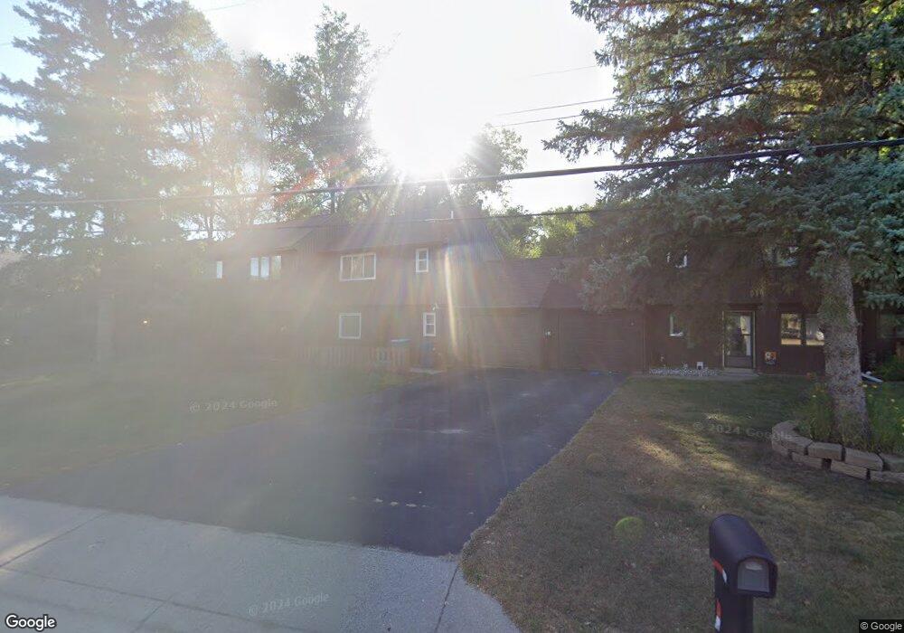
1565 10th Ave Newport, MN 55055
Estimated Value: $195,531 - $218,000
2
Beds
1
Bath
927
Sq Ft
$225/Sq Ft
Est. Value
About This Home
This home is located at 1565 10th Ave, Newport, MN 55055 and is currently estimated at $208,633, approximately $225 per square foot. 1565 10th Ave is a home located in Washington County with nearby schools including Newport Elementary School, Oltman Middle School, and East Ridge High School.
Ownership History
Date
Name
Owned For
Owner Type
Purchase Details
Closed on
Jul 27, 2021
Sold by
Engen Brenda
Bought by
Dixon Joy M
Current Estimated Value
Home Financials for this Owner
Home Financials are based on the most recent Mortgage that was taken out on this home.
Original Mortgage
$165,000
Outstanding Balance
$150,260
Interest Rate
3%
Mortgage Type
New Conventional
Estimated Equity
$58,373
Purchase Details
Closed on
Jul 23, 2004
Sold by
Mitchell Denise Y
Bought by
Engen Brenda
Purchase Details
Closed on
Nov 22, 1996
Sold by
Miller Martin and Miller Lisa
Bought by
Barr Richard A
Create a Home Valuation Report for This Property
The Home Valuation Report is an in-depth analysis detailing your home's value as well as a comparison with similar homes in the area
Home Values in the Area
Average Home Value in this Area
Purchase History
| Date | Buyer | Sale Price | Title Company |
|---|---|---|---|
| Dixon Joy M | $180,000 | Titlesmart Inc | |
| Engen Brenda | $129,000 | -- | |
| Barr Richard A | $58,000 | -- | |
| Dixon Joy Joy | $180,000 | -- |
Source: Public Records
Mortgage History
| Date | Status | Borrower | Loan Amount |
|---|---|---|---|
| Open | Dixon Joy M | $165,000 | |
| Closed | Dixon Joy Joy | $165,000 |
Source: Public Records
Tax History Compared to Growth
Tax History
| Year | Tax Paid | Tax Assessment Tax Assessment Total Assessment is a certain percentage of the fair market value that is determined by local assessors to be the total taxable value of land and additions on the property. | Land | Improvement |
|---|---|---|---|---|
| 2024 | $2,256 | $177,800 | $35,000 | $142,800 |
| 2023 | $2,256 | $159,900 | $25,000 | $134,900 |
| 2022 | $1,692 | $153,200 | $21,700 | $131,500 |
| 2021 | $1,616 | $125,800 | $18,000 | $107,800 |
| 2020 | $1,616 | $123,500 | $20,000 | $103,500 |
| 2019 | $1,416 | $121,800 | $20,000 | $101,800 |
| 2018 | $1,422 | $105,900 | $20,000 | $85,900 |
| 2017 | $1,218 | $104,900 | $20,000 | $84,900 |
| 2016 | $1,232 | $95,300 | $15,000 | $80,300 |
| 2015 | $1,054 | $58,500 | $10,000 | $48,500 |
| 2013 | -- | $51,800 | $9,500 | $42,300 |
Source: Public Records
Map
Nearby Homes
- 1391 12th Ave
- 1761 8th Ave
- 1493 3rd Ave
- 1523 Cedar Ln
- 2250 Larry Ln
- 6287 Crackleberry Trail
- 6162 Goodwin Ave N
- 6254 61st St S
- 6248 61st St S
- 6253 61st St S
- 6266 61st St S
- 6265 61st St S
- 6260 61st St S
- 15016 Ashtown Ln
- 6135 Goodwin Ave S
- 10525 Goodwin Ave S
- 10513 Goodwin Ave S
- 10543 Goodwin Ave S
- 10519 Goodwin Ave S
- 6219 Highland Hills Ln S
- 1569 10th Ave
- 1561 10th Ave
- 1573 10th Ave
- 1555 10th Ave
- 1585 10th Ave
- 1570 10th Ave
- 1568 10th Ave
- 1566 10th Ave
- 1539 Bluestem Ln
- 1537 Bluestem Ln
- 1541 Bluestem Ln
- 1535 Bluestem Ln
- 1610 10th Ave
- 1533 Bluestem Ln
- 1543 Bluestem Ln
- 1531 Bluestem Ln
- 1529 Bluestem Ln
- 1560 10th Ave
- 1527 Bluestem Ln
- 1020 Glen Rd