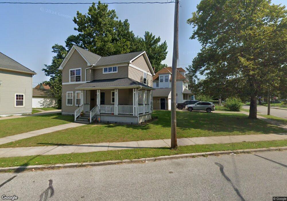
1565 Addison Rd Cleveland, OH 44103
Hough NeighborhoodEstimated Value: $105,045 - $141,000
3
Beds
2
Baths
1,500
Sq Ft
$80/Sq Ft
Est. Value
About This Home
This home is located at 1565 Addison Rd, Cleveland, OH 44103 and is currently estimated at $120,511, approximately $80 per square foot. 1565 Addison Rd is a home with nearby schools including Bolton, Anton Grdina School, and Andrew J. Rickoff School.
Ownership History
Date
Name
Owned For
Owner Type
Purchase Details
Closed on
Nov 8, 2021
Sold by
Chn Housing Partners
Bought by
Anderson Dorean
Current Estimated Value
Home Financials for this Owner
Home Financials are based on the most recent Mortgage that was taken out on this home.
Original Mortgage
$10,000
Outstanding Balance
$3,812
Interest Rate
2.88%
Mortgage Type
Seller Take Back
Estimated Equity
$116,699
Purchase Details
Closed on
Jul 22, 2021
Sold by
Hough Homes Lp
Bought by
Chn Housing Partners
Purchase Details
Closed on
Oct 22, 2004
Sold by
Western Reserve Revitalization & Managem
Bought by
Hough Homes Lp
Purchase Details
Closed on
Sep 28, 2004
Sold by
City Of Cleveland
Bought by
Cleveland Metropolitan Housing Authority
Create a Home Valuation Report for This Property
The Home Valuation Report is an in-depth analysis detailing your home's value as well as a comparison with similar homes in the area
Home Values in the Area
Average Home Value in this Area
Purchase History
| Date | Buyer | Sale Price | Title Company |
|---|---|---|---|
| Anderson Dorean | $27,750 | American Family Title Agency | |
| Chn Housing Partners | -- | American Family Title Agency | |
| Hough Homes Lp | -- | Enterprise Title Agency | |
| Western Reserve Revitalization & Managem | -- | Executive Title Agency Corp | |
| Cleveland Metropolitan Housing Authority | -- | Executive Title Agency |
Source: Public Records
Mortgage History
| Date | Status | Borrower | Loan Amount |
|---|---|---|---|
| Open | Anderson Dorean | $10,000 |
Source: Public Records
Tax History Compared to Growth
Tax History
| Year | Tax Paid | Tax Assessment Tax Assessment Total Assessment is a certain percentage of the fair market value that is determined by local assessors to be the total taxable value of land and additions on the property. | Land | Improvement |
|---|---|---|---|---|
| 2024 | $2,790 | $41,720 | $4,235 | $37,485 |
| 2023 | $3,085 | $39,800 | $2,590 | $37,210 |
| 2022 | $3,068 | $39,800 | $2,590 | $37,210 |
| 2021 | $198 | $39,800 | $2,590 | $37,210 |
| 2020 | $198 | $2,240 | $2,240 | $0 |
| 2019 | $183 | $6,400 | $6,400 | $0 |
| 2018 | $183 | $2,240 | $2,240 | $0 |
| 2017 | $240 | $2,840 | $2,840 | $0 |
| 2016 | $238 | $2,840 | $2,840 | $0 |
| 2015 | $227 | $2,840 | $2,840 | $0 |
| 2014 | $227 | $2,700 | $2,700 | $0 |
Source: Public Records
Map
Nearby Homes
- 7507 Lawnview Ave
- 8120 Cory Ave
- 1514 E 81st St
- 7307 Linwood Ave
- 7218 Lawnview Ave
- 7108 Dellenbaugh Ave
- 7212 Wade Park Ave Unit 4
- 8312 Linwood Ave
- 7614 Star Ave
- 7705 Star Ave
- 1345 Addison Rd
- 1346 E 82nd St
- 1861 E 81st St
- 1373 E 84th St
- 1713 E 69th Place
- 1332 E 84th St
- 1350 Russell Rd
- 6700 Whitney Ave
- 1694 E 90th St
- 1377 E 66th St
- 1559 Addison Rd
- 7901 Whitethorn Ave
- 1557 Addison Rd
- 7905 Whitethorn Ave
- 1553 Addison Rd
- 1568 Addison Rd
- 7926 Cory Ave
- 1580 Addison Rd
- 7930 Cory Ave
- 1549 Addison Rd
- 7913 Whitethorn Ave
- 8001 Whitethorn Ave
- 7912 Whitethorn Ave
- 8005 Whitethorn Ave
- 7713 Cory Ave
- 1546 Addison Rd
- 7916 Whitethorn Ave
- 7927 Cory Ave
- 1541 Addison Rd
- 7931 Cory Ave