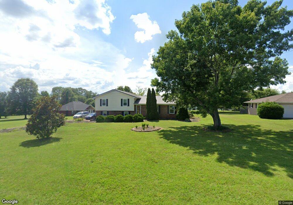
1565 Branch Dr Lawrenceburg, TN 38464
Estimated Value: $248,000 - $372,000
--
Bed
2
Baths
2,550
Sq Ft
$121/Sq Ft
Est. Value
About This Home
This home is located at 1565 Branch Dr, Lawrenceburg, TN 38464 and is currently estimated at $307,688, approximately $120 per square foot. 1565 Branch Dr is a home located in Lawrence County with nearby schools including Ingram Sowell Elementary School, Lawrenceburg Public Elementary School, and David Crockett Elementary School.
Ownership History
Date
Name
Owned For
Owner Type
Purchase Details
Closed on
Jul 1, 2025
Sold by
Mcgee Veronica R and Mcgee Tara Ruth
Bought by
Smith Joseph Blake and Smith Jennifer
Current Estimated Value
Home Financials for this Owner
Home Financials are based on the most recent Mortgage that was taken out on this home.
Original Mortgage
$285,190
Outstanding Balance
$284,708
Interest Rate
6.86%
Mortgage Type
New Conventional
Estimated Equity
$22,980
Purchase Details
Closed on
Jul 1, 1988
Bought by
Mcgee Joe and Mcgee Veronica R
Purchase Details
Closed on
Jan 1, 1983
Create a Home Valuation Report for This Property
The Home Valuation Report is an in-depth analysis detailing your home's value as well as a comparison with similar homes in the area
Home Values in the Area
Average Home Value in this Area
Purchase History
| Date | Buyer | Sale Price | Title Company |
|---|---|---|---|
| Smith Joseph Blake | $300,200 | None Listed On Document | |
| Smith Joseph Blake | $300,200 | None Listed On Document | |
| Mcgee Joe | -- | -- | |
| -- | $51,000 | -- |
Source: Public Records
Mortgage History
| Date | Status | Borrower | Loan Amount |
|---|---|---|---|
| Open | Smith Joseph Blake | $285,190 | |
| Closed | Smith Joseph Blake | $285,190 |
Source: Public Records
Tax History Compared to Growth
Tax History
| Year | Tax Paid | Tax Assessment Tax Assessment Total Assessment is a certain percentage of the fair market value that is determined by local assessors to be the total taxable value of land and additions on the property. | Land | Improvement |
|---|---|---|---|---|
| 2025 | $1,184 | $58,900 | $0 | $0 |
| 2024 | $1,184 | $58,900 | $5,000 | $53,900 |
| 2023 | $1,184 | $58,900 | $5,000 | $53,900 |
| 2022 | $1,184 | $58,900 | $5,000 | $53,900 |
| 2021 | $1,059 | $35,800 | $2,125 | $33,675 |
| 2020 | $1,059 | $35,800 | $2,125 | $33,675 |
| 2019 | $1,059 | $35,800 | $2,125 | $33,675 |
| 2018 | $1,059 | $35,800 | $2,125 | $33,675 |
| 2017 | $971 | $32,825 | $2,125 | $30,700 |
| 2016 | $971 | $32,825 | $2,125 | $30,700 |
| 2015 | $899 | $32,825 | $2,125 | $30,700 |
| 2014 | $930 | $33,950 | $2,125 | $31,825 |
Source: Public Records
Map
Nearby Homes
- 114 Hummingbird Ln
- 132 Sundance Dr
- 52 Beuerlein Cir
- 31 Community Rd
- 729 Weakley Creek Rd
- 14 Delana Ave
- 975 Weakley Creek Rd
- 4000 Weakley Creek Rd
- 970 9th St
- 4951 Weakley Creek Rd
- 0 Woodland Cir Unit RTC3033314
- 1083 Mattox Town Rd
- 48 Woodland Cir
- 1088 Mattox Town Rd
- 1050 Baylee Cir
- 801 Douglas Dr
- 1303 5th Ave
- 717 Toben Terrace
- 0 Lightfoot Ln
- 1280 E Gaines St