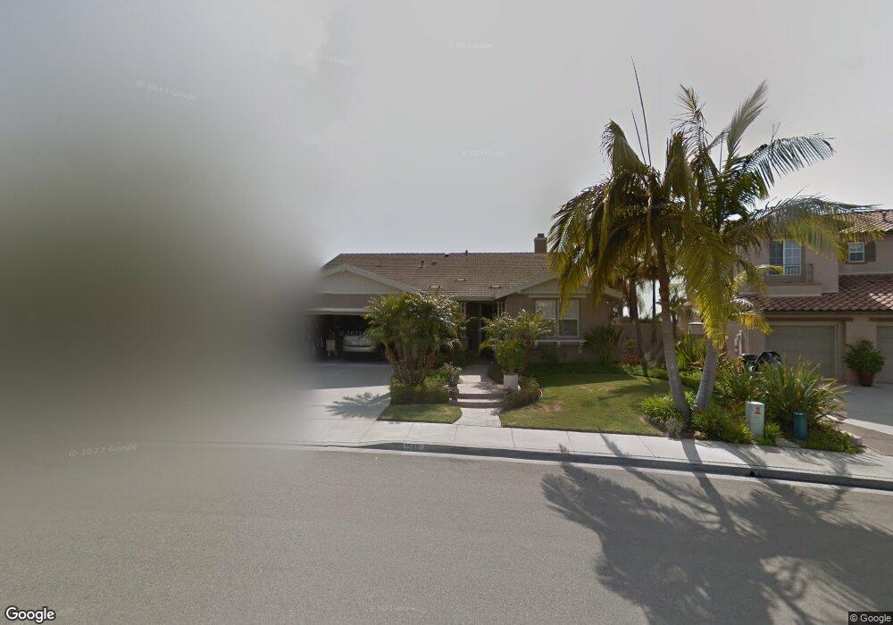
1565 Martingale Ct Carlsbad, CA 92011
Poinsettia NeighborhoodEstimated Value: $1,662,438 - $2,039,000
3
Beds
2
Baths
2,342
Sq Ft
$812/Sq Ft
Est. Value
About This Home
This home is located at 1565 Martingale Ct, Carlsbad, CA 92011 and is currently estimated at $1,901,360, approximately $811 per square foot. 1565 Martingale Ct is a home located in San Diego County with nearby schools including Aviara Oaks Elementary, Aviara Oaks Middle, and Sage Creek High.
Ownership History
Date
Name
Owned For
Owner Type
Purchase Details
Closed on
Jun 7, 2021
Sold by
Cherlin Philip and Cherlin Simona
Bought by
Cherlin Philip B and Cherlin Simona B
Current Estimated Value
Purchase Details
Closed on
Aug 14, 2000
Sold by
Bhc Residential Llc
Bought by
Cherlin Philip and Cherlin Simona
Home Financials for this Owner
Home Financials are based on the most recent Mortgage that was taken out on this home.
Original Mortgage
$300,000
Outstanding Balance
$108,316
Interest Rate
8.16%
Estimated Equity
$1,793,044
Create a Home Valuation Report for This Property
The Home Valuation Report is an in-depth analysis detailing your home's value as well as a comparison with similar homes in the area
Home Values in the Area
Average Home Value in this Area
Purchase History
| Date | Buyer | Sale Price | Title Company |
|---|---|---|---|
| Cherlin Philip B | -- | None Available | |
| Cherlin Philip | $475,000 | First American Title |
Source: Public Records
Mortgage History
| Date | Status | Borrower | Loan Amount |
|---|---|---|---|
| Open | Cherlin Philip | $300,000 |
Source: Public Records
Tax History Compared to Growth
Tax History
| Year | Tax Paid | Tax Assessment Tax Assessment Total Assessment is a certain percentage of the fair market value that is determined by local assessors to be the total taxable value of land and additions on the property. | Land | Improvement |
|---|---|---|---|---|
| 2025 | $8,231 | $715,625 | $301,360 | $414,265 |
| 2024 | $8,231 | $701,594 | $295,451 | $406,143 |
| 2023 | $8,192 | $687,838 | $289,658 | $398,180 |
| 2022 | $8,076 | $674,352 | $283,979 | $390,373 |
| 2021 | $8,020 | $661,130 | $278,411 | $382,719 |
| 2020 | $7,971 | $654,352 | $275,557 | $378,795 |
| 2019 | $7,840 | $641,522 | $270,154 | $371,368 |
| 2018 | $7,541 | $628,944 | $264,857 | $364,087 |
| 2017 | $92 | $616,613 | $259,664 | $356,949 |
| 2016 | $7,159 | $604,523 | $254,573 | $349,950 |
| 2015 | $7,133 | $595,444 | $250,750 | $344,694 |
| 2014 | $7,025 | $583,781 | $245,839 | $337,942 |
Source: Public Records
Map
Nearby Homes
- 6438 Agate Way
- 1537 Turquoise Dr
- 6497 Wayfinders Ct
- 6467 Alexandri Cir Unit 75
- 6419 Alexandri Cir
- 6557 Coneflower Dr
- 6709 Lonicera St
- 6779 Palermi Place Unit 25
- 7089 Tatler Rd
- 6572 Red Knot St
- 7124 Aviara Dr Unit D
- 6915 Pear Tree Dr
- 6917 Pear Tree Dr
- 1738 Oriole Ct
- 1749 Skimmer Ct
- 6815 Adolphia Dr
- 870 Ginger Ave
- 875 Buttercup Rd
- 1001 Goldeneye View
- 6866 Seaspray Ln
- 1569 Martingale Ct
- 1561 Martingale Ct
- 1550 Maritime Dr
- 1554 Maritime Dr
- 1573 Martingale Ct
- 1557 Martingale Ct
- 1546 Maritime Dr
- 1558 Maritime Dr
- 1570 Martingale Ct
- 1542 Maritime Dr
- 1560 Martingale Ct
- 1562 Maritime Dr
- 1577 Martingale Ct
- 1566 Maritime Dr
- 1538 Maritime Dr
- 1553 Martingale Ct
- 1550 Martingale Ct
- 1570 Maritime Dr
- 1534 Maritime Dr
- 1581 Martingale Ct