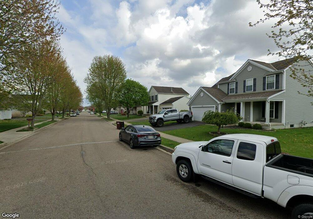
1565 Pheasant Run Dr Newark, OH 43055
Estimated Value: $293,000 - $351,000
3
Beds
3
Baths
1,392
Sq Ft
$229/Sq Ft
Est. Value
About This Home
This home is located at 1565 Pheasant Run Dr, Newark, OH 43055 and is currently estimated at $319,168, approximately $229 per square foot. 1565 Pheasant Run Dr is a home located in Licking County with nearby schools including Legend Elementary School, Liberty Middle School, and Newark High School.
Ownership History
Date
Name
Owned For
Owner Type
Purchase Details
Closed on
Sep 15, 2004
Sold by
Dominion Homes Inc
Bought by
Jones Andrew J
Current Estimated Value
Home Financials for this Owner
Home Financials are based on the most recent Mortgage that was taken out on this home.
Original Mortgage
$156,652
Outstanding Balance
$77,971
Interest Rate
5.95%
Mortgage Type
FHA
Estimated Equity
$241,197
Purchase Details
Closed on
Jun 4, 2004
Sold by
Kraner William C and Kraner Phyllis D
Bought by
Dominion Homes Inc
Create a Home Valuation Report for This Property
The Home Valuation Report is an in-depth analysis detailing your home's value as well as a comparison with similar homes in the area
Home Values in the Area
Average Home Value in this Area
Purchase History
| Date | Buyer | Sale Price | Title Company |
|---|---|---|---|
| Jones Andrew J | $158,300 | Alliance Title | |
| Dominion Homes Inc | $120,000 | Chicago Title |
Source: Public Records
Mortgage History
| Date | Status | Borrower | Loan Amount |
|---|---|---|---|
| Open | Jones Andrew J | $156,652 |
Source: Public Records
Tax History Compared to Growth
Tax History
| Year | Tax Paid | Tax Assessment Tax Assessment Total Assessment is a certain percentage of the fair market value that is determined by local assessors to be the total taxable value of land and additions on the property. | Land | Improvement |
|---|---|---|---|---|
| 2024 | $2,644 | $73,960 | $22,050 | $51,910 |
| 2023 | $2,639 | $73,960 | $22,050 | $51,910 |
| 2022 | $2,205 | $54,990 | $14,560 | $40,430 |
| 2021 | $2,312 | $54,990 | $14,560 | $40,430 |
| 2020 | $2,367 | $54,990 | $14,560 | $40,430 |
| 2019 | $2,213 | $49,570 | $12,150 | $37,420 |
| 2018 | $2,215 | $0 | $0 | $0 |
| 2017 | $2,161 | $0 | $0 | $0 |
| 2016 | $2,153 | $0 | $0 | $0 |
| 2015 | $2,200 | $0 | $0 | $0 |
| 2014 | $2,819 | $0 | $0 | $0 |
| 2013 | $2,155 | $0 | $0 | $0 |
Source: Public Records
Map
Nearby Homes
- 437 Hunters Ct
- 412 Hunters Ct
- 395 Quail Run Ct
- 342 W Hunters Dr
- 681 Woods Edge Ln
- 714 Olde Creek Dr
- 1704 Naughtingham Rd
- 1954 Iselin St
- 1981 Iselin St
- 1989 Iselin St
- 1993 Iselin St
- 1977 Iselin St
- 1973 Iselin St
- 1960 Jamesburg St
- 1968 High Bridge St
- 745 Whitetail Loop
- 152 Lincoln Dr
- 73 Glenridge Dr
- 1821 Mount Vernon Rd
- 750 Whitetail Loop
- 1571 Pheasant Run Dr
- 1557 Pheasant Run Dr
- 1524 N Wild Turkey Dr
- 1536 Pheasant Run Dr
- 1520 N Wild Turkey Dr
- 1577 Pheasant Run Dr
- 1566 Pheasant Run Dr
- 1524 Pheasant Run Dr
- 1572 Pheasant Run Dr
- 1548 Pheasant Run Dr
- 1554 Pheasant Run Dr
- 1583 Pheasant Run Dr
- 1528 Pheasant Run Dr Unit 3039
- 1578 Pheasant Run Dr
- 1516 N Wild Turkey Dr
- 1543 Pheasant Run Dr
- 1521 N Wild Turkey Dr
- 1584 Pheasant Run Dr
- 1512 N Wild Turkey Dr
- 1531 Pheasant Run Dr