15650 Megan Ln Shepherd, MT 59079
Estimated Value: $357,000 - $367,000
2
Beds
2
Baths
2,023
Sq Ft
$179/Sq Ft
Est. Value
About This Home
This home is located at 15650 Megan Ln, Shepherd, MT 59079 and is currently estimated at $363,037, approximately $179 per square foot. 15650 Megan Ln is a home located in Yellowstone County with nearby schools including Shepherd Elementary School, Shepherd Middle School, and Shepherd High School.
Ownership History
Date
Name
Owned For
Owner Type
Purchase Details
Closed on
Jul 24, 2017
Sold by
Campbell Gerald H
Bought by
Conklin Justin
Current Estimated Value
Purchase Details
Closed on
Jun 15, 2016
Sold by
Unsworth Shawn O
Bought by
Hinebauch Nathan O and Hinebauch Dawn M
Purchase Details
Closed on
Mar 15, 2011
Sold by
Unsworth Lisa L
Bought by
Unsworth Shawn O
Purchase Details
Closed on
Oct 27, 2010
Sold by
Unsworth Lisa L
Bought by
Unsworth Shawn O
Purchase Details
Closed on
Sep 19, 2001
Sold by
Unsworth Donald F
Bought by
Unsworth Shawn O and Unsworth Lisa L
Create a Home Valuation Report for This Property
The Home Valuation Report is an in-depth analysis detailing your home's value as well as a comparison with similar homes in the area
Purchase History
| Date | Buyer | Sale Price | Title Company |
|---|---|---|---|
| Conklin Justin | -- | None Listed On Document | |
| Hinebauch Nathan O | -- | None Listed On Document | |
| Unsworth Shawn O | -- | None Available | |
| Unsworth Shawn O | -- | None Available | |
| Unsworth Shawn O | -- | None Available |
Source: Public Records
Tax History
| Year | Tax Paid | Tax Assessment Tax Assessment Total Assessment is a certain percentage of the fair market value that is determined by local assessors to be the total taxable value of land and additions on the property. | Land | Improvement |
|---|---|---|---|---|
| 2025 | $1,613 | $213,037 | $34,867 | $178,170 |
| 2024 | $1,613 | $167,808 | $19,758 | $148,050 |
| 2023 | $1,640 | $167,808 | $19,758 | $148,050 |
| 2022 | $1,498 | $148,371 | $0 | $0 |
| 2021 | $1,614 | $148,371 | $0 | $0 |
| 2020 | $1,520 | $134,408 | $0 | $0 |
| 2019 | $1,269 | $134,408 | $0 | $0 |
| 2018 | $1,276 | $127,382 | $0 | $0 |
| 2017 | $1,095 | $127,382 | $0 | $0 |
| 2016 | $1,181 | $125,735 | $0 | $0 |
| 2015 | $1,171 | $125,735 | $0 | $0 |
| 2014 | $1,086 | $60,922 | $0 | $0 |
Source: Public Records
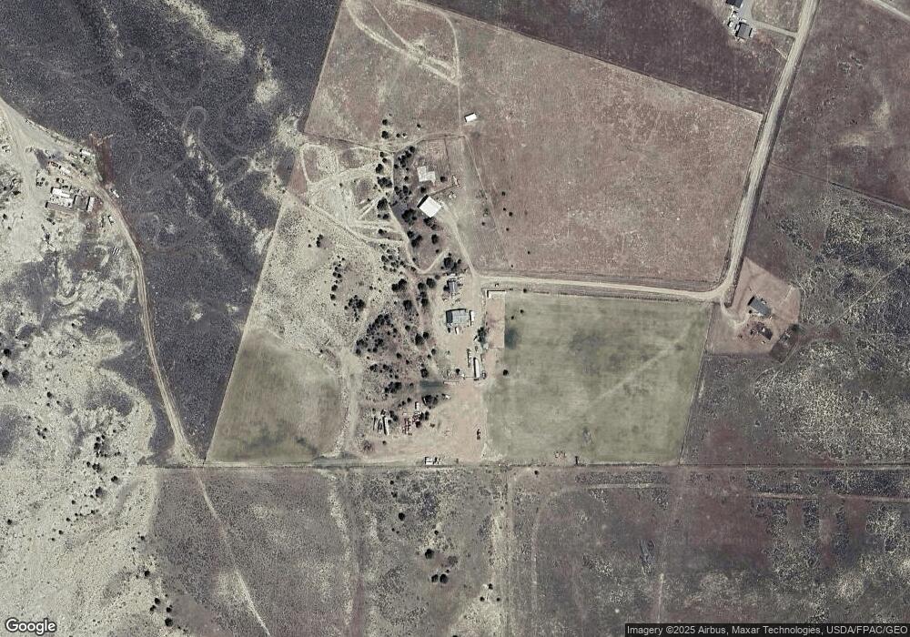
Map
Nearby Homes
- tbd Lindstrom Rd
- Lindstrom Rd
- 0 Nhn Lindstrom Rd
- 0 Nhn Lindstrom Rd Unit 21956322
- NHN Lindstrom Rd
- Lindstrom Rd
- NHN Sando Rd
- 1234 Border Rd
- 8510 Prairie Hawk
- LOT 1 BLK 2 High Noon Dr
- 369 Border Rd
- 13401 Hoskins Basin Rd
- 0 Sando Rd
- 9470 Doyle Rd
- 9055 Doyle Rd
- 9705 Shepherd Rd
- 647 Majerus Rd
- 7684 12 Mile Rd
- 3625 Nellie Christine Dr
- 3835 Nellie Christine Dr
- 15640 Megan Ln
- 158555 Megan Ln
- lot 57 Megan Ln
- 15760 Megan Ln
- 15775 Heather Ln
- 15733 Megan Ln
- TBD Heather Ln
- 15855 Megan Ln
- 15902 Megan Ln
- nhn Heather Ln
- 1510 Britney Ln
- 845 Stonehouse Rd
- 1020 Stonehouse Rd
- 15724 Us Highway 87
- 15724 Us Highway 87
- 1205 Stonehouse Rd
- 1045 Stonehouse Rd
- 825 Stonehouse Rd
- 1025 Stonehouse Rd
- 77 Stonehouse Rd
Your Personal Tour Guide
Ask me questions while you tour the home.