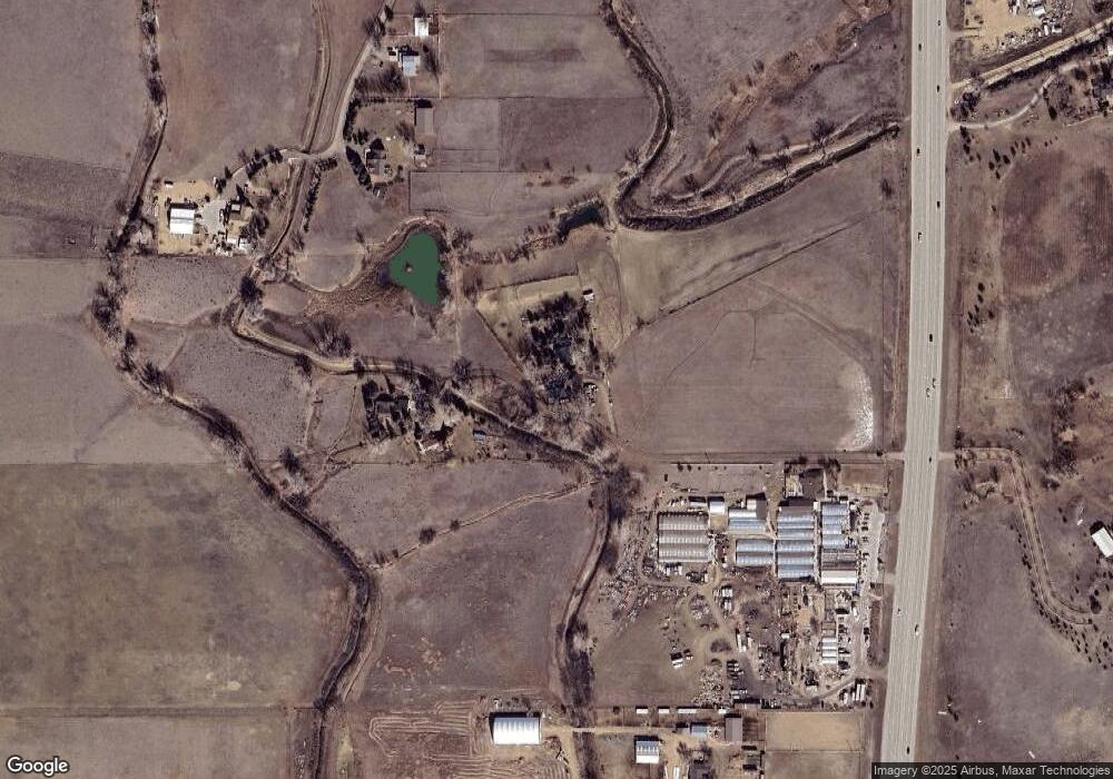
15655 N 107th St Longmont, CO 80504
Estimated Value: $1,036,000 - $1,432,000
3
Beds
2
Baths
2,292
Sq Ft
$551/Sq Ft
Est. Value
About This Home
This home is located at 15655 N 107th St, Longmont, CO 80504 and is currently estimated at $1,262,821, approximately $550 per square foot. 15655 N 107th St is a home located in Boulder County with nearby schools including Northridge Elementary School, Longs Peak Middle School, and Longmont High School.
Ownership History
Date
Name
Owned For
Owner Type
Purchase Details
Closed on
Mar 17, 1993
Bought by
Clark Michael A and Clark Peggy A
Current Estimated Value
Purchase Details
Closed on
Sep 8, 1992
Bought by
Clark Michael A and Clark Peggy A
Purchase Details
Closed on
Nov 16, 1990
Bought by
Clark Michael A and Clark Peggy A
Purchase Details
Closed on
May 3, 1984
Bought by
Clark Michael A and Clark Peggy A
Create a Home Valuation Report for This Property
The Home Valuation Report is an in-depth analysis detailing your home's value as well as a comparison with similar homes in the area
Home Values in the Area
Average Home Value in this Area
Purchase History
| Date | Buyer | Sale Price | Title Company |
|---|---|---|---|
| Clark Michael A | -- | -- | |
| Clark Michael A | $218,300 | -- | |
| Clark Michael A | $185,000 | -- | |
| Clark Michael A | $145,000 | -- |
Source: Public Records
Tax History Compared to Growth
Tax History
| Year | Tax Paid | Tax Assessment Tax Assessment Total Assessment is a certain percentage of the fair market value that is determined by local assessors to be the total taxable value of land and additions on the property. | Land | Improvement |
|---|---|---|---|---|
| 2025 | $6,807 | $72,894 | $35,813 | $37,081 |
| 2024 | $6,807 | $72,894 | $35,813 | $37,081 |
| 2023 | $6,715 | $77,184 | $21,279 | $59,590 |
| 2022 | $5,138 | $58,317 | $20,252 | $38,065 |
| 2021 | $5,206 | $59,996 | $20,835 | $39,161 |
| 2020 | $4,372 | $51,616 | $24,739 | $26,877 |
| 2019 | $4,305 | $51,616 | $24,739 | $26,877 |
| 2018 | $3,536 | $43,964 | $22,968 | $20,996 |
| 2017 | $3,489 | $48,603 | $25,392 | $23,211 |
| 2016 | $3,846 | $47,728 | $29,611 | $18,117 |
| 2015 | $3,670 | $34,498 | $11,542 | $22,956 |
| 2014 | $3,316 | $34,498 | $11,542 | $22,956 |
Source: Public Records
Map
Nearby Homes
- 2548 Horseshoe Cir
- 15293 N 107th St
- 2316 Horseshoe Cir
- 10650 Yellowstone Rd
- 1921 Glenview Ct
- 1884 Chaparro Cir
- 0 Rodney Ln Unit 1030974
- 1808 Riverview Dr
- 1637 S U S Highway 287
- 1796 Serene Place
- 1785 Serene Place
- 14619 N 115th St
- 9402 Crystal Ln
- 975 William Way
- 1405 Swan Peter Dr
- 953 William Way
- 2212 S County Road 15
- 927 William Way
- 1369 Burt Ave
- 1347 Burt Ave
- 10504 Ramuda Dr
- 10496 Ramuda Dr
- 15591 N 107th St
- 10496 Remuda Dr
- 2758 Charro Ave
- 2756 Charro Ave
- 2810 Charro Ave
- 15493 N 107th St
- 2592 Horseshoe Cir
- 2560 Horseshoe Cir
- 2532 Horseshoe Cir
- 15429 N 107th St
- 2520 Horseshoe Cir
- 1705 Horseshoe Cir S
- 2539 Horseshoe Cir
- 15750 N 107th St
- 2521 Horseshoe Cir
- 2521 Horseshoe Cir
- 2555 Horseshoe Cir
- 2563 Horseshoe Cir
