15657 Cow Face Rd Lowell, AR 72745
Estimated Value: $399,000 - $449,000
3
Beds
2
Baths
1,808
Sq Ft
$235/Sq Ft
Est. Value
About This Home
This home is located at 15657 Cow Face Rd, Lowell, AR 72745 and is currently estimated at $425,699, approximately $235 per square foot. 15657 Cow Face Rd is a home located in Benton County with nearby schools including Monitor Elementary School, Sonora Middle School, and Lakeside Junior High School.
Ownership History
Date
Name
Owned For
Owner Type
Purchase Details
Closed on
Oct 25, 2021
Sold by
Newport Shea and Base Garrett James
Bought by
Day Michael and Day Patricia J
Current Estimated Value
Home Financials for this Owner
Home Financials are based on the most recent Mortgage that was taken out on this home.
Original Mortgage
$304,000
Outstanding Balance
$276,617
Interest Rate
2.8%
Mortgage Type
New Conventional
Estimated Equity
$149,082
Purchase Details
Closed on
Sep 28, 2017
Sold by
Kuss Laurie C and Kuss Jennifer C
Bought by
Newport Shea
Home Financials for this Owner
Home Financials are based on the most recent Mortgage that was taken out on this home.
Original Mortgage
$179,835
Interest Rate
3.89%
Mortgage Type
New Conventional
Purchase Details
Closed on
Mar 8, 1985
Bought by
Kuss
Create a Home Valuation Report for This Property
The Home Valuation Report is an in-depth analysis detailing your home's value as well as a comparison with similar homes in the area
Home Values in the Area
Average Home Value in this Area
Purchase History
| Date | Buyer | Sale Price | Title Company |
|---|---|---|---|
| Day Michael | $320,000 | None Listed On Document | |
| Newport Shea | $185,400 | First National Title Company | |
| Kuss | $6,000 | -- |
Source: Public Records
Mortgage History
| Date | Status | Borrower | Loan Amount |
|---|---|---|---|
| Open | Day Michael | $304,000 | |
| Previous Owner | Newport Shea | $179,835 |
Source: Public Records
Tax History Compared to Growth
Tax History
| Year | Tax Paid | Tax Assessment Tax Assessment Total Assessment is a certain percentage of the fair market value that is determined by local assessors to be the total taxable value of land and additions on the property. | Land | Improvement |
|---|---|---|---|---|
| 2025 | $3,079 | $70,182 | $19,200 | $50,982 |
| 2024 | $2,292 | $70,182 | $19,200 | $50,982 |
| 2023 | $2,084 | $43,779 | $9,000 | $34,779 |
| 2022 | $2,070 | $42,560 | $9,000 | $33,560 |
| 2021 | $1,048 | $42,560 | $9,000 | $33,560 |
| 2020 | $984 | $27,700 | $4,200 | $23,500 |
| 2019 | $984 | $27,700 | $4,200 | $23,500 |
| 2018 | $1,009 | $27,700 | $4,200 | $23,500 |
| 2017 | $1,009 | $27,700 | $4,200 | $23,500 |
| 2016 | $1,009 | $27,700 | $4,200 | $23,500 |
| 2015 | $1,003 | $27,590 | $4,800 | $22,790 |
| 2014 | $1,003 | $27,590 | $4,800 | $22,790 |
Source: Public Records
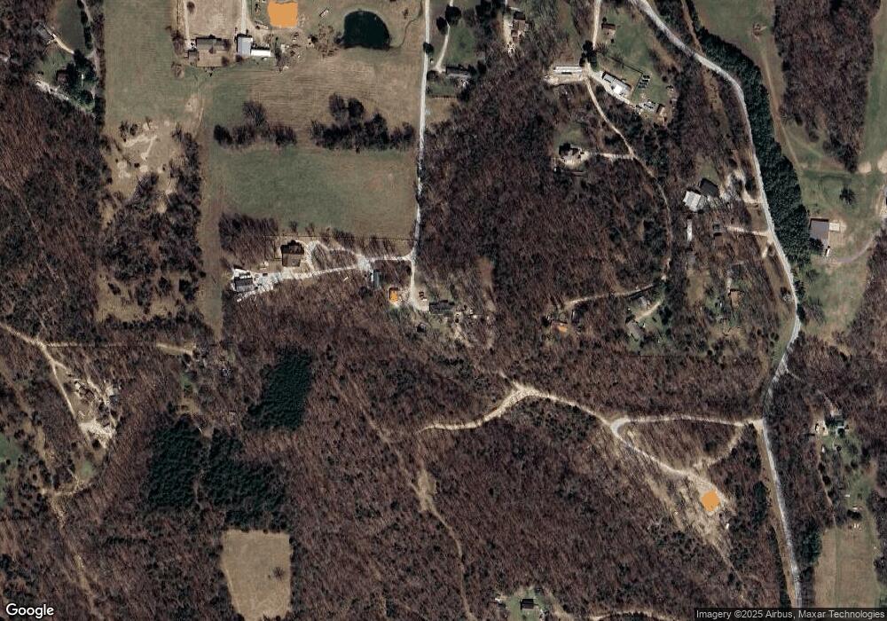
Map
Nearby Homes
- TBD Park Ridge Dr
- 14864 Park Ridge Dr
- 0 E Ar Hwy 264 Unit 1303701
- 0 Blueberry Ln
- 23130 War Eagle Blacktop Rd
- 12981 Recreation Dr
- 23513 Lakeview Terrace
- 0 E Carefree Ln
- 15364 Twin Pines Rd
- 22631 Jennings Dr
- 12161 Shore Dr
- 22058 Dogwood Cir
- 22037 Dogwood Cir
- 0 Monitor Rd Unit 1301451
- 12365 Tyson Rd
- 0 Tyson Rd
- 3017 Hattie Ln
- 21830 Friendship View Dr
- 3100 Hattie Ln
- 4900 Elnora Ln
- 15741 Cow Face Rd
- 15653 Cow Face Rd
- 15737 Cow Face Rd
- 15745 Cow Face Rd
- 15669 Cow Face Rd
- 15383 Kittybump Rd
- 15767 Cow Face Rd
- 15733 Cow Face Rd
- 15729 Cow Face Rd
- 15729 Cow Face Rd
- 15705 Cow Face Rd
- 15765 Cow Face Rd
- 15761 Cow Face Rd
- 15789 Cow Face Rd
- 15387 Cow Face Rd
- 15531 Cow Face Rd
- 15531 Cow Face Rd
- 21150 Hickory Creek Rd
- 18911 Hickory Creek Rd
- 15610 Cow Face Rd