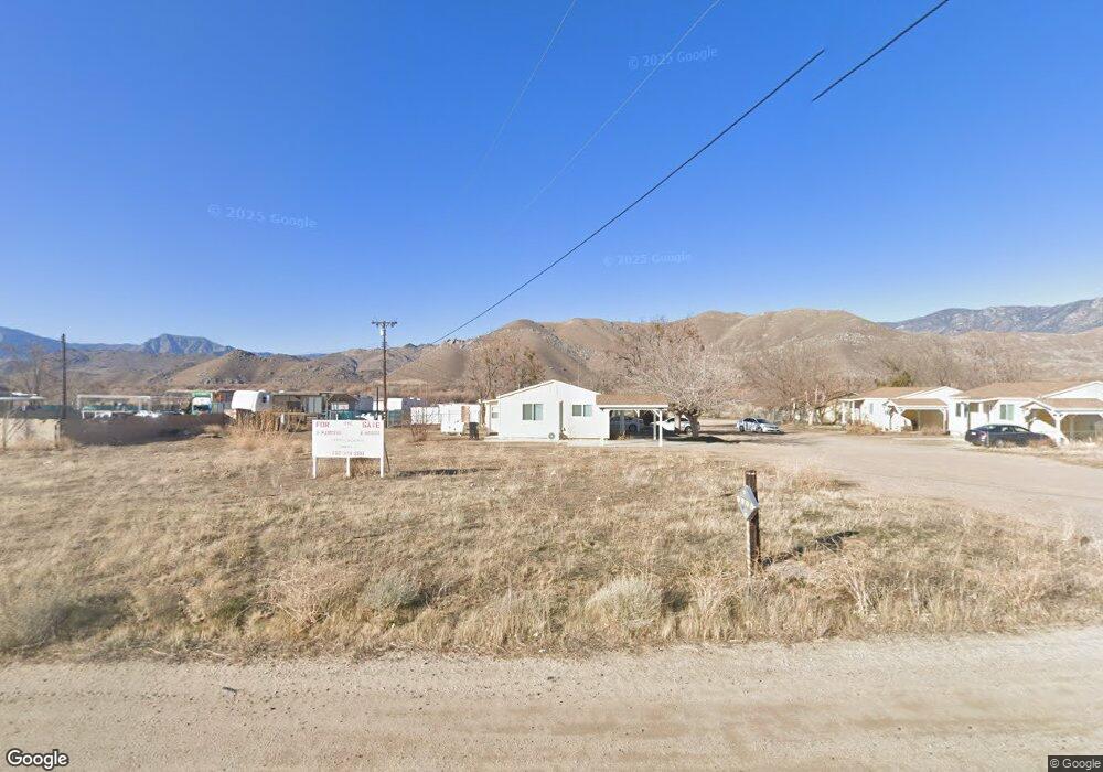
15659 Highway 178 Weldon, CA 93283
Estimated Value: $94,862 - $156,000
2
Beds
1
Bath
4,200
Sq Ft
$31/Sq Ft
Est. Value
About This Home
This home is located at 15659 Highway 178, Weldon, CA 93283 and is currently estimated at $130,216, approximately $31 per square foot. 15659 Highway 178 is a home located in Kern County with nearby schools including South Fork Elementary School and Kern Valley High School.
Ownership History
Date
Name
Owned For
Owner Type
Purchase Details
Closed on
Nov 25, 2017
Sold by
Younkin Robert L and Younkin Marital Trust
Bought by
Youkin Robert L and Youkin Loretta
Current Estimated Value
Purchase Details
Closed on
Jan 9, 2006
Sold by
Younkin Esther L and The Younkin Revocable Living T
Bought by
Younkin Esther L and The Younkin Marital Trust
Purchase Details
Closed on
Jun 9, 1995
Sold by
Hurley Bill and Hurley Pauline
Bought by
Younkin Robert M and Younkin Esther L
Create a Home Valuation Report for This Property
The Home Valuation Report is an in-depth analysis detailing your home's value as well as a comparison with similar homes in the area
Home Values in the Area
Average Home Value in this Area
Purchase History
| Date | Buyer | Sale Price | Title Company |
|---|---|---|---|
| Youkin Robert L | -- | None Available | |
| Younkin Robert L | -- | None Available | |
| Younkin Esther L | -- | None Available | |
| Younkin Esther L | -- | None Available | |
| Younkin Robert M | $23,000 | Fidelity National Title |
Source: Public Records
Tax History
| Year | Tax Paid | Tax Assessment Tax Assessment Total Assessment is a certain percentage of the fair market value that is determined by local assessors to be the total taxable value of land and additions on the property. | Land | Improvement |
|---|---|---|---|---|
| 2025 | $617 | $38,170 | $16,595 | $21,575 |
| 2024 | $597 | $37,422 | $16,270 | $21,152 |
| 2023 | $597 | $36,689 | $15,951 | $20,738 |
| 2022 | $581 | $35,971 | $15,639 | $20,332 |
| 2021 | $521 | $35,267 | $15,333 | $19,934 |
| 2020 | $496 | $34,906 | $15,176 | $19,730 |
| 2019 | $488 | $34,906 | $15,176 | $19,730 |
| 2018 | $483 | $33,553 | $14,588 | $18,965 |
| 2017 | $478 | $32,898 | $14,303 | $18,595 |
| 2016 | $454 | $32,254 | $14,023 | $18,231 |
| 2015 | $451 | $31,771 | $13,813 | $17,958 |
| 2014 | $444 | $31,150 | $13,543 | $17,607 |
Source: Public Records
Map
Nearby Homes
- 426-390-08 Fly Catcher Dr
- 426-390-16 Rankin Ave
- 5651 Hooper Rd
- 0 Brooks Rd
- 5019 Shawnee Rd
- 5664 Piute Mountain Rd
- 5012 Mohawk St
- 9112 Comanche Way
- 9133 Iroquois Way
- 9003 Apache Dr
- 2216 Sierra Way
- 4921 Bella Vista Dr
- 11610 Longhorn Ln
- 4829 Larsen Rd
- 0 Paul's Place Dr
- 4952 Larsen Rd
- 14700 California 178
- 18220 California 178
- 4401 Chapala St
- 4405 Chapala St
- 15659 California 178
- 15659 California 178
- 15659 California 178
- 16475 California 178
- 0 Fly Catcher Dr
- 10808 Powers Ave
- 10820 Rankin Ave
- 10809 Petersen Ave
- 10820 Powers Ave
- 426-390-20 Rankin Ave
- 10158 Hillview Acres Rd
- 10817 Petersen Ave
- 10904 Rankin Ave
- 10816 Petersen Ave
- 10901 Peterson
- 0 Hillview Acres Rd
- 10912 Rankin Ave
- 10901 Hand
- 10916 Rankin Ave
- 10916 Powers Ave
Your Personal Tour Guide
Ask me questions while you tour the home.