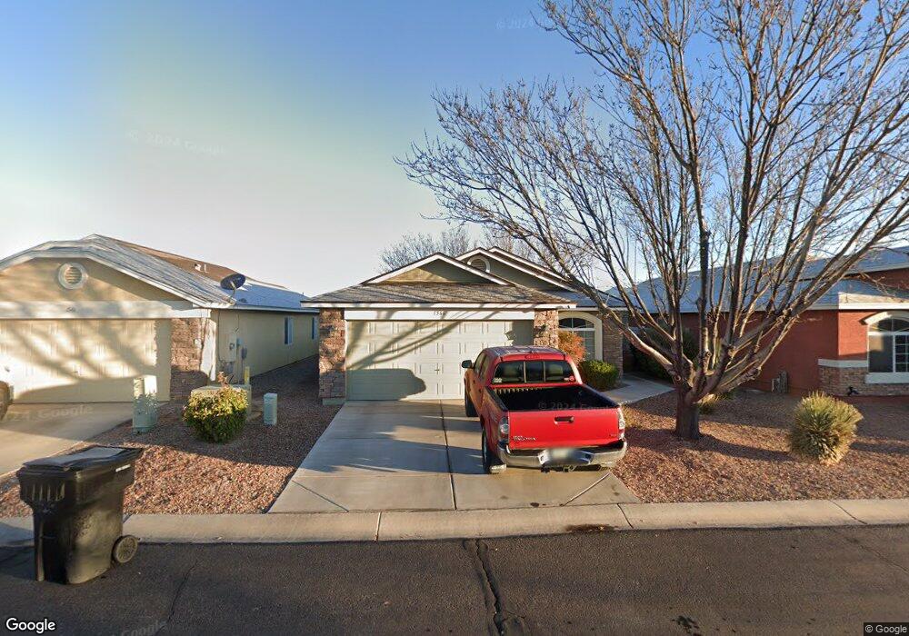
1566 E Las Sendas Dr Safford, AZ 85546
Estimated Value: $260,521 - $290,000
Studio
--
Bath
1,225
Sq Ft
$229/Sq Ft
Est. Value
About This Home
This home is located at 1566 E Las Sendas Dr, Safford, AZ 85546 and is currently estimated at $280,380, approximately $228 per square foot. 1566 E Las Sendas Dr is a home with nearby schools including Ruth Powell Elementary School, Dorothy Stinson School, and Lafe Nelson School.
Ownership History
Date
Name
Owned For
Owner Type
Purchase Details
Closed on
May 17, 2010
Sold by
Providence Development Inc
Bought by
Providence Homes Inc
Current Estimated Value
Home Financials for this Owner
Home Financials are based on the most recent Mortgage that was taken out on this home.
Original Mortgage
$127,187
Outstanding Balance
$86,079
Interest Rate
5.25%
Mortgage Type
FHA
Estimated Equity
$194,301
Create a Home Valuation Report for This Property
The Home Valuation Report is an in-depth analysis detailing your home's value as well as a comparison with similar homes in the area
Purchase History
| Date | Buyer | Sale Price | Title Company |
|---|---|---|---|
| Providence Homes Inc | -- | Pioneer Title Agency | |
| Providence Development Inc | -- | Pioneer Title Agency |
Source: Public Records
Mortgage History
| Date | Status | Borrower | Loan Amount |
|---|---|---|---|
| Open | Providence Development Inc | $127,187 | |
| Closed | Providence Homes Inc | $127,187 |
Source: Public Records
Tax History
| Year | Tax Paid | Tax Assessment Tax Assessment Total Assessment is a certain percentage of the fair market value that is determined by local assessors to be the total taxable value of land and additions on the property. | Land | Improvement |
|---|---|---|---|---|
| 2026 | $784 | -- | -- | -- |
| 2025 | $784 | $17,786 | $1,248 | $16,538 |
| 2024 | $815 | $17,626 | $1,248 | $16,378 |
| 2023 | $815 | $14,475 | $1,248 | $13,227 |
| 2022 | $800 | $12,593 | $1,248 | $11,345 |
| 2021 | $883 | $0 | $0 | $0 |
| 2020 | $849 | $0 | $0 | $0 |
| 2019 | $894 | $0 | $0 | $0 |
| 2018 | $850 | $0 | $0 | $0 |
| 2017 | $762 | $0 | $0 | $0 |
| 2016 | $747 | $0 | $0 | $0 |
| 2015 | $728 | $0 | $0 | $0 |
Source: Public Records
Map
Nearby Homes
- 1551 Hobble Creek Dr
- 1560 S Kelson Place
- 1615 E Trilogy Ln
- 1318 S Kuhni Ct
- 1630 Kelson Place
- 1345 S Graham Ln
- 1548 S Montierth Ln
- 121 E 3rd St
- 1835 S 1st Ave
- 1225 S Central Ave
- 1104 S Central Ave
- 1204 S Central Ave Unit A
- 1204 S Central Ave Unit B
- 1017 S 5th Ave
- 419 W 7th St
- 295 Geronimo Rd
- 121 E Montana Way
- 1227 S 7th Ave
- 702 W 16th St
- 2250 S Lamonica Way
- 1546 E Las Sendas Dr
- 1570 E Las Sendas Dr
- 1534 E Las Sendas Dr
- 1567 E Whirlwind Way
- 1569 E Las Sendas Dr
- 1553 E Las Sendas Dr
- 1537 Las Sendas Dr
- 1539 E Whirlwind Way
- 1533 Las Sendas Dr
- 1524 E Las Sendas Dr
- 1585 E Las Sendas Dr
- 1103 S Gila Dr
- 1531 E Whirlwind Way
- 1525 E Las Sendas Dr
- 1203 S Gila Dr
- 1504 E Las Sendas Dr
- 1197 S Gila Dr
- 1215 S Gila Dr
- 1185 S Gila Dr
- 1550 E Whirlwind Way
Your Personal Tour Guide
Ask me questions while you tour the home.