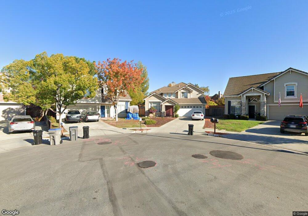
1566 Saint Regis Dr San Jose, CA 95124
Branham-Kirk NeighborhoodEstimated Value: $2,066,358 - $2,338,000
4
Beds
3
Baths
1,910
Sq Ft
$1,130/Sq Ft
Est. Value
About This Home
This home is located at 1566 Saint Regis Dr, San Jose, CA 95124 and is currently estimated at $2,158,840, approximately $1,130 per square foot. 1566 Saint Regis Dr is a home located in Santa Clara County with nearby schools including Oster Elementary School, Dartmouth Middle School, and Branham High School.
Ownership History
Date
Name
Owned For
Owner Type
Purchase Details
Closed on
Jun 8, 2006
Sold by
Kim David Y and Kim Kelly S
Bought by
Kim David Y and Kim Kelly S
Current Estimated Value
Purchase Details
Closed on
Nov 14, 1994
Sold by
Kaufman & Broad South Bay Inc
Bought by
Kim David Y and Kim Kelly S
Home Financials for this Owner
Home Financials are based on the most recent Mortgage that was taken out on this home.
Original Mortgage
$280,500
Interest Rate
8.9%
Create a Home Valuation Report for This Property
The Home Valuation Report is an in-depth analysis detailing your home's value as well as a comparison with similar homes in the area
Home Values in the Area
Average Home Value in this Area
Purchase History
| Date | Buyer | Sale Price | Title Company |
|---|---|---|---|
| Kim David Y | -- | None Available | |
| Kim David Y | $312,000 | First American Title Guarant |
Source: Public Records
Mortgage History
| Date | Status | Borrower | Loan Amount |
|---|---|---|---|
| Closed | Kim David Y | $280,500 |
Source: Public Records
Tax History Compared to Growth
Tax History
| Year | Tax Paid | Tax Assessment Tax Assessment Total Assessment is a certain percentage of the fair market value that is determined by local assessors to be the total taxable value of land and additions on the property. | Land | Improvement |
|---|---|---|---|---|
| 2025 | $8,132 | $524,044 | $201,553 | $322,491 |
| 2024 | $8,132 | $513,769 | $197,601 | $316,168 |
| 2023 | $7,946 | $503,696 | $193,727 | $309,969 |
| 2022 | $7,794 | $493,821 | $189,929 | $303,892 |
| 2021 | $7,612 | $484,139 | $186,205 | $297,934 |
| 2020 | $7,430 | $479,176 | $184,296 | $294,880 |
| 2019 | $7,286 | $469,782 | $180,683 | $289,099 |
| 2018 | $7,104 | $460,572 | $177,141 | $283,431 |
| 2017 | $7,008 | $451,542 | $173,668 | $277,874 |
| 2016 | $6,683 | $442,689 | $170,263 | $272,426 |
| 2015 | $6,574 | $436,040 | $167,706 | $268,334 |
| 2014 | $6,066 | $427,499 | $164,421 | $263,078 |
Source: Public Records
Map
Nearby Homes
- 1619 Hallbrook Dr
- 4285 Kirk Rd
- 1615 Corte de Callas
- 1655 Tupolo Dr
- 1649 Glenville Dr
- 1684 Tupolo Dr
- 1638 Branham Ln Unit D
- 4460 Lahaina Way
- 3942 Paladin Dr
- 3825 Woodford Dr
- 1756 Hallmark Ln
- 3310 Kirk Rd
- 3277 Ensalmo Ave
- 1719 Ross Cir
- 1528 Willowdale Dr
- 1721 Ross Cir
- 1448 Luning Dr
- 1742 Del Paso Ave
- 1398 Boysea Dr
- 4216 Camden Ave
- 1572 Saint Regis Dr
- 1560 Saint Regis Dr
- 1649 Corte de Anna
- 1579 Corte de Pearson
- 1578 Saint Regis Dr
- 1643 Corte de Anna
- 1565 Saint Regis Dr
- 1650 Corte de Anna
- 1585 Corte de Pearson
- 1573 Corte de Pearson
- 1571 Saint Regis Dr
- 1584 Saint Regis Dr
- 1637 Corte de Anna
- 1567 Corte de Pearson
- 1577 Saint Regis Dr
- 1644 Corte de Anna
- 1591 Corte de Pearson
- 4320 Sherbourne Dr
- 1561 Corte de Pearson
- 1583 Saint Regis Dr