Estimated Value: $28,630 - $118,000
5
Beds
2
Baths
3,205
Sq Ft
$21/Sq Ft
Est. Value
About This Home
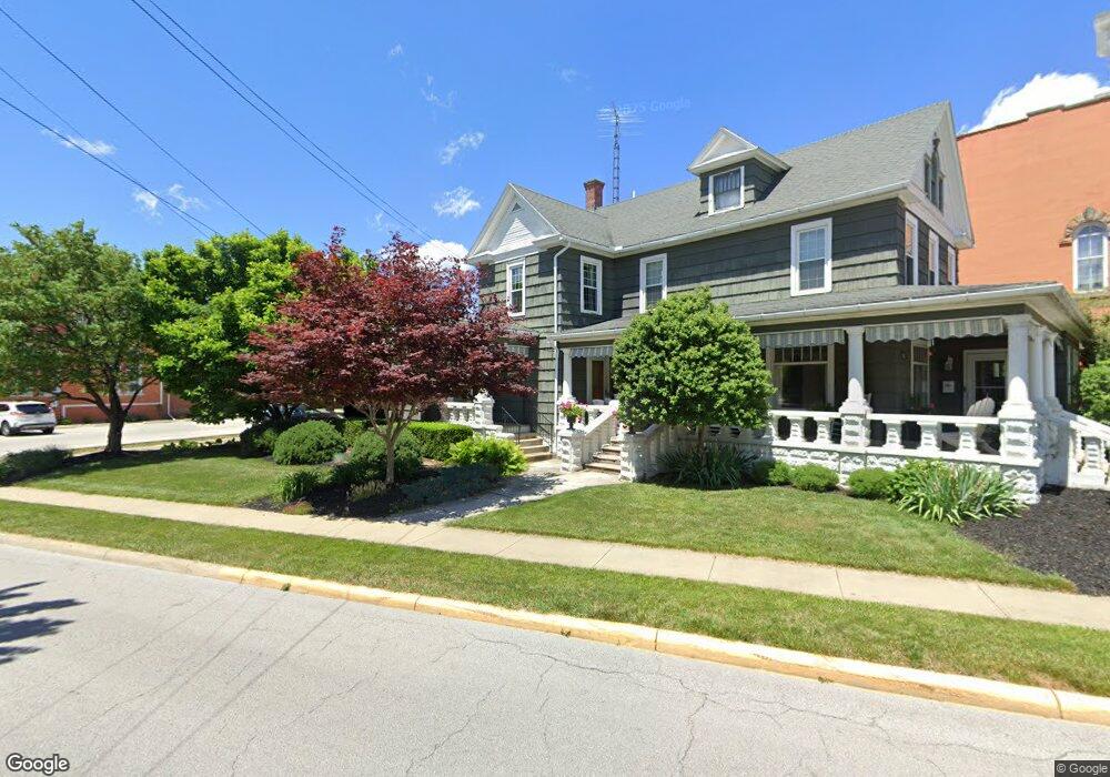
This home is located at 1566 Sr 20, Clyde, OH 43410 and is currently estimated at $66,543, approximately $20 per square foot. 1566 Sr 20 is a home with nearby schools including Clyde High School.
Ownership History
Date
Name
Owned For
Owner Type
Purchase Details
Closed on
Dec 19, 2023
Sold by
Sandusky County Land Reutiliza
Bought by
Cr Endeavors Llc
Current Estimated Value
Purchase Details
Closed on
Mar 16, 2023
Sold by
Hilton Chris
Bought by
Sandusky County Land Reutiliza
Purchase Details
Closed on
Aug 17, 1995
Sold by
Grimes Myron D
Bought by
Berry James R
Home Financials for this Owner
Home Financials are based on the most recent Mortgage that was taken out on this home.
Original Mortgage
$30,400
Interest Rate
7.64%
Mortgage Type
New Conventional
Purchase Details
Closed on
Dec 1, 1992
Bought by
Berry James R
Create a Home Valuation Report for This Property
The Home Valuation Report is an in-depth analysis detailing your home's value as well as a comparison with similar homes in the area
Home Values in the Area
Average Home Value in this Area
Purchase History
| Date | Buyer | Sale Price | Title Company |
|---|---|---|---|
| Cr Endeavors Llc | -- | Tucker Escrow & Title | |
| Cr Endeavors Llc | -- | Tucker Escrow & Title | |
| Sandusky County Land Reutiliza | -- | First American Title | |
| Sandusky County Land Reutiliza | -- | First American Title | |
| Berry James R | $38,000 | -- | |
| Berry James R | -- | -- |
Source: Public Records
Mortgage History
| Date | Status | Borrower | Loan Amount |
|---|---|---|---|
| Previous Owner | Berry James R | $30,400 |
Source: Public Records
Tax History Compared to Growth
Tax History
| Year | Tax Paid | Tax Assessment Tax Assessment Total Assessment is a certain percentage of the fair market value that is determined by local assessors to be the total taxable value of land and additions on the property. | Land | Improvement |
|---|---|---|---|---|
| 2024 | $226 | $5,810 | $5,810 | $0 |
| 2023 | $226 | $17,820 | $8,510 | $9,310 |
| 2022 | $881 | $17,820 | $8,510 | $9,310 |
| 2021 | $763 | $17,820 | $8,510 | $9,310 |
| 2020 | $799 | $18,030 | $8,440 | $9,590 |
| 2019 | $790 | $18,030 | $8,440 | $9,590 |
| 2018 | $799 | $18,030 | $8,440 | $9,590 |
| 2017 | $808 | $18,030 | $8,440 | $9,590 |
| 2016 | $797 | $18,030 | $8,440 | $9,590 |
| 2015 | $787 | $18,030 | $8,440 | $9,590 |
| 2014 | $1,095 | $23,810 | $9,000 | $14,810 |
| 2013 | $1,237 | $23,810 | $9,000 | $14,810 |
Source: Public Records
Map
Nearby Homes
- 0 Durnwald Dr
- CR 260 89.6 acres Durnwald Dr
- 4534 County Road 175
- 625 Ames St
- 0 Ames St
- 315 E Grant St
- 222 Bertha Ave
- 1337 E Sr 20
- 165 Fairhome Ave
- 0 Ohio 101
- 5762 County Road 191
- 118 E Buckeye St
- 0 W Mcpherson Hwy
- 4201 Fox Ave
- 209 Fair St
- 235 W Buckeye St
- 117 Nelson St
- 322 Vine St
- 153 Zimmerman Dr
- 248 Ott St
- 1561 E Mcpherson Hwy
- 1525 E Sr 20 Hwy
- 1614 E Mcpherson Hwy
- 1569 E Mcpherson Hwy
- 5089 County Road 175
- 1488 E Mcpherson Hwy
- 5121 County Road 175
- 5079 County Road 175
- 5067 County Road 175
- 5055 County Road 175
- 5022 County Road 175
- 5162 County Road 175
- 5180 County Road 175
- 5196 County Road 175
- 4993 County Road 175
- 1611 County Road 264
- 1727 E Sr-20
- 1727 E Mcpherson Hwy
- 1397 E Mcpherson Hwy
- 4955 County Road 175