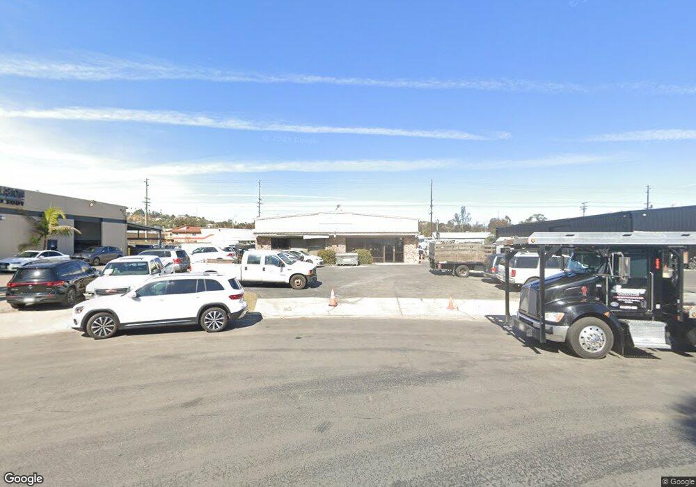
1566 Sterling Ct Escondido, CA 92029
Vineyard NeighborhoodEstimated Value: $1,075,707
--
Bed
--
Bath
4,000
Sq Ft
$269/Sq Ft
Est. Value
About This Home
This home is located at 1566 Sterling Ct, Escondido, CA 92029 and is currently estimated at $1,075,707, approximately $268 per square foot. 1566 Sterling Ct is a home located in San Diego County with nearby schools including Rock Springs Elementary School, Rincon Middle School, and Escondido High School.
Ownership History
Date
Name
Owned For
Owner Type
Purchase Details
Closed on
Oct 15, 2024
Sold by
Al-Alusi Amer R & Wala T
Bought by
Am & Wa Llc
Current Estimated Value
Purchase Details
Closed on
Dec 2, 2013
Sold by
Alalusi Hesham R and Alalusi Diana L
Bought by
Al Alusi Amer R and Al Alusi Wala T
Purchase Details
Closed on
May 14, 2013
Sold by
Nold Mary Ann
Bought by
Al Alusi Amer R and Al Lusi Wala T
Create a Home Valuation Report for This Property
The Home Valuation Report is an in-depth analysis detailing your home's value as well as a comparison with similar homes in the area
Home Values in the Area
Average Home Value in this Area
Purchase History
| Date | Buyer | Sale Price | Title Company |
|---|---|---|---|
| Am & Wa Llc | -- | None Listed On Document | |
| Am & Wa Llc | -- | None Listed On Document | |
| Al Alusi Amer R | $423,000 | None Available | |
| Al Alusi Amer R | $470,000 | First American Title Company |
Source: Public Records
Tax History Compared to Growth
Tax History
| Year | Tax Paid | Tax Assessment Tax Assessment Total Assessment is a certain percentage of the fair market value that is determined by local assessors to be the total taxable value of land and additions on the property. | Land | Improvement |
|---|---|---|---|---|
| 2025 | $6,485 | $577,449 | $337,870 | $239,579 |
| 2024 | $6,485 | $566,128 | $331,246 | $234,882 |
| 2023 | $6,338 | $555,028 | $324,751 | $230,277 |
| 2022 | $6,271 | $544,146 | $318,384 | $225,762 |
| 2021 | $6,170 | $533,478 | $312,142 | $221,336 |
| 2020 | $6,134 | $528,009 | $308,942 | $219,067 |
| 2019 | $5,986 | $517,657 | $302,885 | $214,772 |
| 2018 | $5,820 | $507,508 | $296,947 | $210,561 |
| 2017 | $42 | $497,558 | $291,125 | $206,433 |
| 2016 | $5,617 | $487,803 | $285,417 | $202,386 |
| 2015 | $5,571 | $480,476 | $281,130 | $199,346 |
| 2014 | $5,340 | $471,066 | $275,624 | $195,442 |
Source: Public Records
Map
Nearby Homes
- 1401 Corte Rapallo
- 762 Hillsboro Way
- 899 Corte Merano
- 1501 Corte Capriana
- 787 Deodar Rd
- 1020 Crystal Springs Place
- 1051 Rock Springs Rd Unit 241
- 1051 Rock Springs Rd Unit 137
- 1202 Borden Rd Unit 105
- 1202 Borden Rd Unit 5
- 672 Chateau Place
- 830 W Lincoln Ave Unit 173
- 830 W Lincoln Ave Unit 182
- 955 Howard Ave Unit 40
- 962 Chardonney Way
- 2432 Live Oak Rd
- 1007 Howard Ave Unit 42
- 1860 Matin Cir Unit 103
- 1001 S Hale Ave Unit 13
- 1045 Howard Ave
- 1416 Mission Rd
- 641 Superior St
- 641 Superior St Unit A
- 643 Superior St
- 1428 Mission Rd
- 518 Venture St
- 1326 Mission Rd
- 1856 Commercial St
- 1837 Commercial St
- 1851 Commercial St
- 1359 Montiel Rd
- 825 N Andreasen Dr
- 825 N Andreasen Dr
- 825 N Andreasen Dr
- 825 N Andreasen Dr Unit A
- 825 N Andreasen Dr Unit D Drive
- 825 N Andreasen Dr
- 825 N Andreasen Dr
- 825 825 No Andreasen Dr Unit A
- 825B 825b N Andreasen Dr
