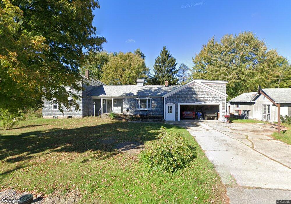
15666 Thompson Rd Thompson, OH 44086
Estimated Value: $426,000
4
Beds
1
Bath
1,427
Sq Ft
$299/Sq Ft
Est. Value
About This Home
This home is located at 15666 Thompson Rd, Thompson, OH 44086 and is currently estimated at $426,000, approximately $298 per square foot. 15666 Thompson Rd is a home located in Geauga County.
Ownership History
Date
Name
Owned For
Owner Type
Purchase Details
Closed on
Oct 21, 2024
Sold by
Kane Richard E
Bought by
Richard Earl Kane Medicaid Planning Trust and Gill
Current Estimated Value
Purchase Details
Closed on
May 17, 1988
Bought by
Kane Richard E
Create a Home Valuation Report for This Property
The Home Valuation Report is an in-depth analysis detailing your home's value as well as a comparison with similar homes in the area
Purchase History
| Date | Buyer | Sale Price | Title Company |
|---|---|---|---|
| Richard Earl Kane Medicaid Planning Trust | -- | None Listed On Document | |
| Richard Earl Kane Medicaid Planning Trust | -- | None Listed On Document | |
| Richard Earl Kane Medicaid Planning Trust | -- | None Listed On Document | |
| Kane Richard E | -- | -- |
Source: Public Records
Tax History
| Year | Tax Paid | Tax Assessment Tax Assessment Total Assessment is a certain percentage of the fair market value that is determined by local assessors to be the total taxable value of land and additions on the property. | Land | Improvement |
|---|---|---|---|---|
| 2024 | $2,010 | $55,240 | $7,080 | $48,160 |
| 2023 | $1,794 | $86,380 | $38,220 | $48,160 |
| 2022 | $1,659 | $72,350 | $33,600 | $38,750 |
| 2021 | $1,657 | $72,350 | $33,600 | $38,750 |
| 2020 | $1,693 | $72,350 | $33,600 | $38,750 |
| 2019 | $1,399 | $64,720 | $33,600 | $31,120 |
| 2018 | $1,517 | $64,720 | $33,600 | $31,120 |
| 2017 | $1,399 | $64,720 | $33,600 | $31,120 |
| 2016 | $1,570 | $61,080 | $30,210 | $30,870 |
| 2015 | $1,502 | $61,080 | $30,210 | $30,870 |
| 2014 | $1,502 | $61,080 | $30,210 | $30,870 |
| 2013 | $1,590 | $60,800 | $30,210 | $30,590 |
Source: Public Records
Map
Nearby Homes
- 6615 Clay St
- 15594 Moseley Rd
- 16107 Moseley Rd
- 6042 Ford Rd
- 5810 Dewey Rd
- VL 15 Acres Madison Rd
- 7771 Lester Dr
- V/L Leroy Center Rd
- 13849 Painesville Warren Rd
- 7857 Lester Dr
- 13537 Shirley Dr
- 5040 River Rd
- 5004 River Rd
- 4785 Riverwood Dr
- 14700 Rock Creek Rd
- 18000 Thompson Rd
- 14161 Radcliffe Rd
- V/L 4 Painesville Warren Rd
- 6810 Barrett Rd
- V/L 5 Painesville Warren Rd
- 15692 Thompson Rd
- 15656 Thompson Rd
- 15651 Thompson Rd
- 6800 Clay St
- 6777 Clay St
- 6683 Clay St
- 6671 Clay St
- 6797 Clay St
- 15749 Thompson Rd
- 6840 Clay St
- 15559 Thompson Rd
- 15770 Thompson Rd
- 6821 Clay St
- 15555 Thompson Rd
- 6639 Clay St
- 15787 Thompson Rd
- 6847 Clay St
- 15537 Thompson Rd
- 15806 Thompson Rd
- 6877 Clay St
Your Personal Tour Guide
Ask me questions while you tour the home.