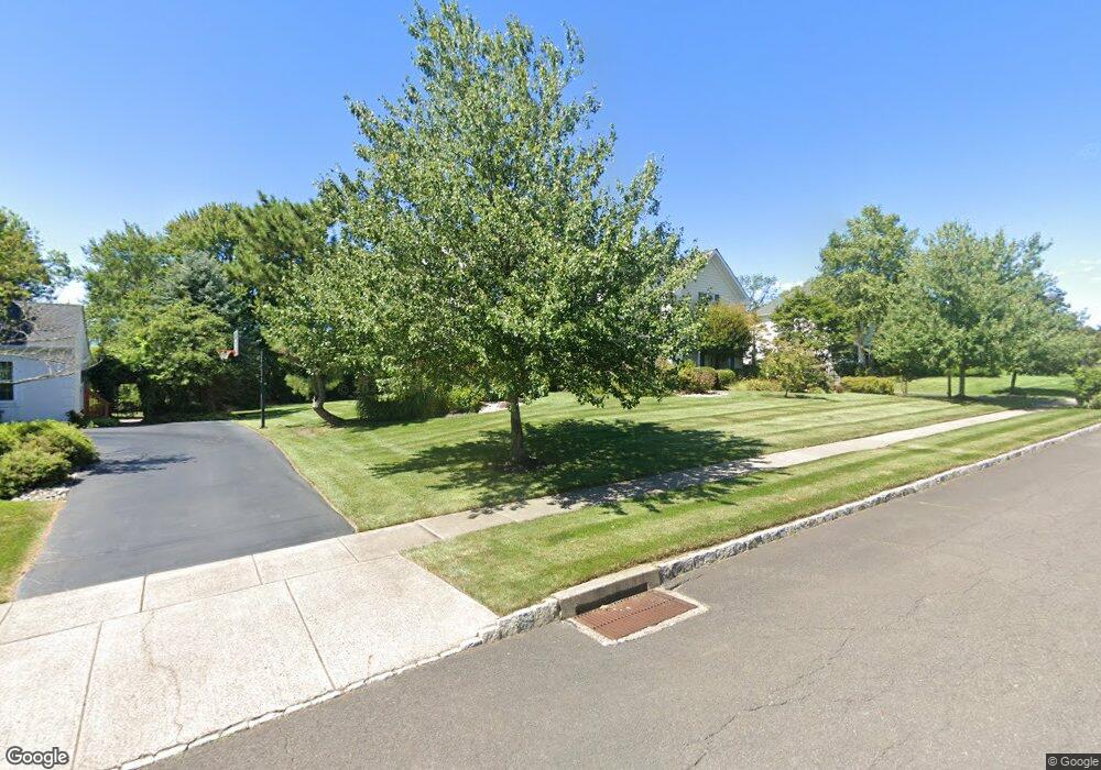
1567 Brookfield Rd Newtown, PA 18940
Estimated Value: $1,052,000 - $1,294,000
4
Beds
3
Baths
3,754
Sq Ft
$312/Sq Ft
Est. Value
About This Home
This home is located at 1567 Brookfield Rd, Newtown, PA 18940 and is currently estimated at $1,170,197, approximately $311 per square foot. 1567 Brookfield Rd is a home located in Bucks County with nearby schools including Quarry Hill El School, Pennwood Middle School, and Pennsbury High School.
Ownership History
Date
Name
Owned For
Owner Type
Purchase Details
Closed on
Apr 20, 1999
Sold by
Hixson Clifford J and Hixson Geraldine I
Bought by
Hixson Clifford J and Hixson Geraldine I
Current Estimated Value
Purchase Details
Closed on
Dec 7, 1994
Sold by
Farmview Associates L P
Bought by
Hixson Clifford J and Hixson Geraldine I
Home Financials for this Owner
Home Financials are based on the most recent Mortgage that was taken out on this home.
Original Mortgage
$292,700
Interest Rate
6%
Create a Home Valuation Report for This Property
The Home Valuation Report is an in-depth analysis detailing your home's value as well as a comparison with similar homes in the area
Home Values in the Area
Average Home Value in this Area
Purchase History
| Date | Buyer | Sale Price | Title Company |
|---|---|---|---|
| Hixson Clifford J | -- | -- | |
| Hixson Clifford J | $366,084 | -- |
Source: Public Records
Mortgage History
| Date | Status | Borrower | Loan Amount |
|---|---|---|---|
| Closed | Hixson Clifford J | $292,700 |
Source: Public Records
Tax History Compared to Growth
Tax History
| Year | Tax Paid | Tax Assessment Tax Assessment Total Assessment is a certain percentage of the fair market value that is determined by local assessors to be the total taxable value of land and additions on the property. | Land | Improvement |
|---|---|---|---|---|
| 2025 | $12,969 | $54,770 | $12,960 | $41,810 |
| 2024 | $12,969 | $54,770 | $12,960 | $41,810 |
| 2023 | $12,318 | $54,770 | $12,960 | $41,810 |
| 2022 | $12,051 | $54,770 | $12,960 | $41,810 |
| 2021 | $11,860 | $54,770 | $12,960 | $41,810 |
| 2020 | $11,860 | $54,770 | $12,960 | $41,810 |
| 2019 | $11,624 | $54,770 | $12,960 | $41,810 |
| 2018 | $11,421 | $54,770 | $12,960 | $41,810 |
| 2017 | $11,067 | $54,770 | $12,960 | $41,810 |
| 2016 | $10,939 | $54,770 | $12,960 | $41,810 |
| 2015 | -- | $54,770 | $12,960 | $41,810 |
| 2014 | -- | $54,770 | $12,960 | $41,810 |
Source: Public Records
Map
Nearby Homes
- 1768 Ashbourne Dr
- 29 Sunnyside Ln
- 1566 Woodside Rd
- 1720 Jockeys Way
- 2 Old Barn Ct
- 2036 Silverwood Dr
- 21 Belamour Dr
- 910 Old Dolington Rd
- 49 Highland Dr
- 140 Glenwood Dr
- 1569 Doe Trail Ln
- 9 Houston Rd
- 13 Plymouth Ln
- 1 Austin Rd
- 151 Dolington Rd
- 12 Upton Ln
- 6 Plymouth Ln
- 3 Stonebridge Crossing Rd
- 1155 Mount Eyre Rd
- 17 Highland Dr
- 1571 Brookfield Rd
- 1563 Brookfield Rd
- 1562 Brookfield Rd
- 1566 Brookfield Rd
- 1575 Brookfield Rd
- 1570 Brookfield Rd
- 1579 Brookfield Rd
- 1555 Brookfield Rd
- 1574 Brookfield Rd
- 1558 Brookfield Rd
- 1583 Brookfield Rd
- 1578 Brookfield Rd
- 1554 Brookfield Rd
- 1551 Brookfield Rd
- 1582 Brookfield Rd
- 1587 Brookfield Rd
- 1550 Brookfield Rd
- 1586 Brookfield Rd
- 1591 Brookfield Rd
- 1561 Dolington Rd