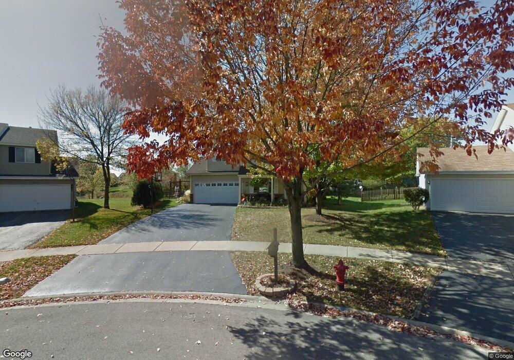
1567 Bryan Ct Unit 1 Aurora, IL 60504
South East Village NeighborhoodEstimated Value: $307,000 - $427,567
4
Beds
3
Baths
1,944
Sq Ft
$199/Sq Ft
Est. Value
About This Home
This home is located at 1567 Bryan Ct Unit 1, Aurora, IL 60504 and is currently estimated at $386,642, approximately $198 per square foot. 1567 Bryan Ct Unit 1 is a home located in DuPage County with nearby schools including Gombert Elementary School, Fischer Middle School, and Waubonsie Valley High School.
Ownership History
Date
Name
Owned For
Owner Type
Purchase Details
Closed on
Mar 29, 2001
Sold by
Chase Walter Wm
Bought by
Martin Michael B and Martin Ruthann
Current Estimated Value
Home Financials for this Owner
Home Financials are based on the most recent Mortgage that was taken out on this home.
Original Mortgage
$152,000
Outstanding Balance
$56,158
Interest Rate
7.05%
Estimated Equity
$330,484
Purchase Details
Closed on
Oct 10, 1997
Sold by
Ware Mark W and Ware Marie L
Bought by
Chase Walter Wm
Home Financials for this Owner
Home Financials are based on the most recent Mortgage that was taken out on this home.
Original Mortgage
$132,800
Interest Rate
7.65%
Create a Home Valuation Report for This Property
The Home Valuation Report is an in-depth analysis detailing your home's value as well as a comparison with similar homes in the area
Home Values in the Area
Average Home Value in this Area
Purchase History
| Date | Buyer | Sale Price | Title Company |
|---|---|---|---|
| Martin Michael B | $170,000 | Law Title Pick Up | |
| Chase Walter Wm | $166,500 | -- |
Source: Public Records
Mortgage History
| Date | Status | Borrower | Loan Amount |
|---|---|---|---|
| Open | Martin Michael B | $152,000 | |
| Previous Owner | Chase Walter Wm | $132,800 | |
| Closed | Chase Walter Wm | $16,600 |
Source: Public Records
Tax History
| Year | Tax Paid | Tax Assessment Tax Assessment Total Assessment is a certain percentage of the fair market value that is determined by local assessors to be the total taxable value of land and additions on the property. | Land | Improvement |
|---|---|---|---|---|
| 2024 | $8,288 | $117,010 | $31,673 | $85,337 |
| 2023 | $7,894 | $105,140 | $28,460 | $76,680 |
| 2022 | $7,565 | $96,210 | $25,830 | $70,380 |
| 2021 | $7,362 | $92,780 | $24,910 | $67,870 |
| 2020 | $7,452 | $92,780 | $24,910 | $67,870 |
| 2019 | $7,184 | $88,240 | $23,690 | $64,550 |
| 2018 | $6,034 | $74,320 | $20,070 | $54,250 |
| 2017 | $5,929 | $71,800 | $19,390 | $52,410 |
| 2016 | $5,817 | $68,910 | $18,610 | $50,300 |
| 2015 | $5,749 | $65,430 | $17,670 | $47,760 |
| 2014 | $5,592 | $62,130 | $16,640 | $45,490 |
| 2013 | $5,537 | $62,570 | $16,760 | $45,810 |
Source: Public Records
Map
Nearby Homes
- 2500 Rosehall Ln
- 2632 Emma Cir
- 2509 Rosehall Ln
- 1740 Cumberland Rd Unit 8B
- 2414 Savoy Ct
- 1782 Montrose Dr
- 2484 Warwick Ct
- 1465 Bridgeport Ln Unit 19D
- 2860 Bridgeport Ln Unit 19D
- 1335 Lawrence Ct
- 2891 Bar Harbour Rd
- 1948 Barrington Ct
- 2997 Coastal Dr
- 2100 Hammel Ave
- 2675 Tiffany St
- 3025 Coastal Dr
- 1703 Baler Ave
- 1734 Baler Ave
- 1722 Baler Ave
- 1721 Stable Ln
Your Personal Tour Guide
Ask me questions while you tour the home.