Estimated Value: $160,765 - $230,000
--
Bed
1
Bath
1,396
Sq Ft
$136/Sq Ft
Est. Value
About This Home
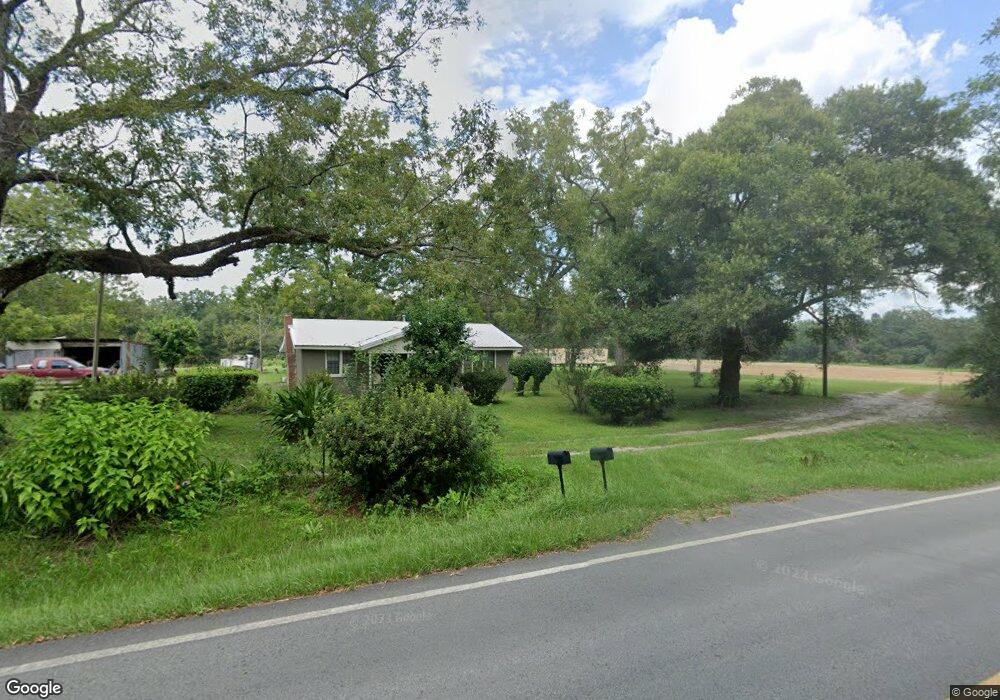
This home is located at 1567 Grooverville Rd, Dixie, GA 31629 and is currently estimated at $189,441, approximately $135 per square foot. 1567 Grooverville Rd is a home located in Brooks County with nearby schools including Quitman Elementary School.
Ownership History
Date
Name
Owned For
Owner Type
Purchase Details
Closed on
Jul 7, 2022
Sold by
Jones Angela
Bought by
Gross Johnson
Current Estimated Value
Purchase Details
Closed on
Feb 7, 2020
Sold by
Jones Angela
Bought by
Jones Angela and Jones Alga R
Purchase Details
Closed on
Aug 30, 2019
Sold by
Johnson Mae
Bought by
Jones Angela
Purchase Details
Closed on
Jan 18, 2019
Sold by
Gross Lonnie Lee
Bought by
Jones Angela
Purchase Details
Closed on
Jul 6, 2009
Sold by
Campbell Reuben
Bought by
Davis Sonja
Create a Home Valuation Report for This Property
The Home Valuation Report is an in-depth analysis detailing your home's value as well as a comparison with similar homes in the area
Home Values in the Area
Average Home Value in this Area
Purchase History
| Date | Buyer | Sale Price | Title Company |
|---|---|---|---|
| Gross Johnson | -- | -- | |
| Jones Angela | -- | -- | |
| Jones Angela | -- | -- | |
| Jones Angela | -- | -- | |
| Davis Sonja | -- | -- |
Source: Public Records
Tax History Compared to Growth
Tax History
| Year | Tax Paid | Tax Assessment Tax Assessment Total Assessment is a certain percentage of the fair market value that is determined by local assessors to be the total taxable value of land and additions on the property. | Land | Improvement |
|---|---|---|---|---|
| 2024 | $1,634 | $44,060 | $16,520 | $27,540 |
| 2023 | $1,072 | $40,020 | $15,520 | $24,500 |
| 2022 | $1,439 | $33,380 | $14,800 | $18,580 |
| 2021 | $1,284 | $30,220 | $14,480 | $15,740 |
| 2020 | $840 | $30,260 | $14,640 | $15,620 |
| 2019 | $1,706 | $46,340 | $30,720 | $15,620 |
| 2018 | $1,532 | $42,980 | $27,360 | $15,620 |
| 2017 | $1,531 | $42,260 | $27,360 | $14,900 |
| 2016 | $1,609 | $42,540 | $27,360 | $15,180 |
| 2015 | -- | $42,380 | $27,360 | $15,020 |
| 2014 | -- | $42,380 | $27,360 | $15,020 |
| 2013 | -- | $0 | $0 | $0 |
Source: Public Records
Map
Nearby Homes
- 2156 County Road 78
- 8820 Grooverville Rd
- 2815 Parker Rd
- 130 E Adams St
- 5199 U S 84
- 682 Salem Rd
- 185 Community Ln
- 146 Old Highway 84 W
- 75 Southern Breeze Ln
- 2818 Dry Lake Rd
- 9900 Ozell Rd
- 431 Dry Lake Rd
- 0000 Hamlin Rd
- 1540 Dunn Rd
- 3C Hanger Ln
- 5036 Hamlin Rd
- 550 E 2nd Way
- tbd E 2nd Way
- 2434 Dunn Rd
- 7747 Empress Rd
- 1545 Grooverville Rd
- 1506 Grooverville Rd
- 1567 Schmoe Rd
- 1489 Ramsey Rd
- 1389 Grooverville Rd
- 1175 Grooverville Rd
- 1969 Grooverville Rd
- 7275 Livingston Rd
- 612 Boles Rd
- 2077 Grooverville Rd
- 2081 Grooverville Rd
- 207 Ferris Rd
- 7240 Livingston Rd
- 9304 Ramsey Rd
- 1023 Beasley Rd
- 1166 Liberty Church Rd
- 6955 Livingston Rd
- 6893 Livingston Rd
- 176 Ferris Rd
- 1027 Liberty Church Rd