1567 S Farm Road 205 Springfield, MO 65809
Southeast Springfield NeighborhoodEstimated Value: $627,878 - $681,000
4
Beds
3
Baths
3,654
Sq Ft
$178/Sq Ft
Est. Value
About This Home
This home is located at 1567 S Farm Road 205, Springfield, MO 65809 and is currently estimated at $649,626, approximately $177 per square foot. 1567 S Farm Road 205 is a home located in Greene County with nearby schools including Hickory Hills K-8 School, Glendale High School, and Springfield Catholic High School.
Ownership History
Date
Name
Owned For
Owner Type
Purchase Details
Closed on
Jan 16, 2014
Sold by
Central Trust & Investment Co
Bought by
Patterson Charles E and Patterson Cheryl A
Current Estimated Value
Purchase Details
Closed on
Dec 17, 2012
Sold by
Central Trust & Investment Co
Bought by
Patterson Charles E and Patterson Cheryl A
Home Financials for this Owner
Home Financials are based on the most recent Mortgage that was taken out on this home.
Original Mortgage
$244,800
Interest Rate
3.41%
Mortgage Type
New Conventional
Create a Home Valuation Report for This Property
The Home Valuation Report is an in-depth analysis detailing your home's value as well as a comparison with similar homes in the area
Home Values in the Area
Average Home Value in this Area
Purchase History
| Date | Buyer | Sale Price | Title Company |
|---|---|---|---|
| Patterson Charles E | -- | None Available | |
| Patterson Charles E | -- | None Available |
Source: Public Records
Mortgage History
| Date | Status | Borrower | Loan Amount |
|---|---|---|---|
| Previous Owner | Patterson Charles E | $244,800 |
Source: Public Records
Tax History Compared to Growth
Tax History
| Year | Tax Paid | Tax Assessment Tax Assessment Total Assessment is a certain percentage of the fair market value that is determined by local assessors to be the total taxable value of land and additions on the property. | Land | Improvement |
|---|---|---|---|---|
| 2025 | $4,113 | $79,630 | $16,630 | $63,000 |
| 2024 | $4,113 | $73,880 | $16,630 | $57,250 |
| 2023 | $3,906 | $73,880 | $16,630 | $57,250 |
| 2022 | $3,661 | $67,460 | $16,630 | $50,830 |
| 2021 | $3,661 | $67,460 | $16,630 | $50,830 |
| 2020 | $3,622 | $63,640 | $16,630 | $47,010 |
| 2019 | $3,522 | $63,640 | $16,630 | $47,010 |
| 2018 | $3,453 | $62,420 | $16,630 | $45,790 |
| 2017 | $3,420 | $56,870 | $16,630 | $40,240 |
| 2016 | $3,116 | $56,870 | $16,630 | $40,240 |
| 2015 | $3,092 | $56,870 | $16,630 | $40,240 |
| 2014 | $2,973 | $56,970 | $16,630 | $40,340 |
Source: Public Records
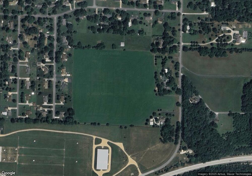
Map
Nearby Homes
- 1410 S Briar Ave
- 1318 S Farm Road 205
- 5757 E Meadowmere St
- 5854 E Sumac Ln
- 1950 S Farm Road 199
- 6431 E Ridgeline Dr
- Lot 12 S Markham Ct
- Tract 3 S Farm Road 199
- 000 S Farm Road 197
- 4833 E Eastmoor St
- 5295 E Farm Road 138
- 5116 E Crown Park Ln
- 927 S Farm Road 197
- 2149 S Cedar Hill Ave
- 6298 E Summit View Dr
- 2173 S Pin Oak Dr
- 5147 E Crown Park Ln
- Lot 10 Farm Road 134
- Lot 7 Farm Road 134
- Lot 12 Farm Road 134
- 1549 S Farm Road 205
- 5822 E Spring Dr
- 1616 S Farm Road 205
- 5878 E Spring Dr
- 1465 S Farm Road 205
- 5861 E Timberline Ln
- 5521 E Rockin W Ln
- 1727 S Farm Road 205
- 5757 E Farm Road 146
- 5744 E Bennett St
- 1564 S Briar Ave
- 1420 S Farm Road 205
- 1630 S Wildridge St
- 1546 S Briar Ave
- 5710 E Bennett St
- 5728 E Bennett St
- 1580 S Wildridge St
- 1522 S Briar Ave
- 5860 E Timberline Ln
- 5658 E Bennett St