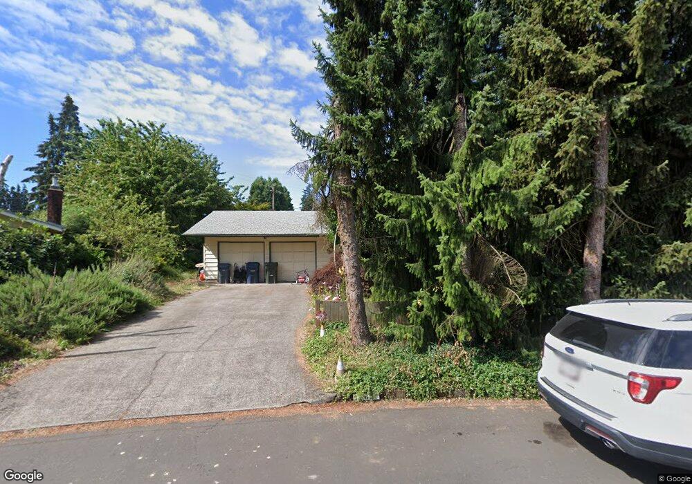
1567 W Fairview Dr Springfield, OR 97477
West Springfield NeighborhoodEstimated Value: $331,000 - $387,000
3
Beds
1
Bath
1,058
Sq Ft
$347/Sq Ft
Est. Value
About This Home
This home is located at 1567 W Fairview Dr, Springfield, OR 97477 and is currently estimated at $366,983, approximately $346 per square foot. 1567 W Fairview Dr is a home located in Lane County with nearby schools including Centennial Elementary School, Hamlin Middle School, and Springfield High School.
Ownership History
Date
Name
Owned For
Owner Type
Purchase Details
Closed on
Jul 24, 2024
Sold by
Ostberg Rachel V
Bought by
Ostberg Rachel V and Stell Gregory Gerard
Current Estimated Value
Purchase Details
Closed on
Sep 14, 2015
Sold by
Blankenship Darrin J
Bought by
Ostberg Rachel
Home Financials for this Owner
Home Financials are based on the most recent Mortgage that was taken out on this home.
Original Mortgage
$163,400
Interest Rate
3.91%
Mortgage Type
New Conventional
Purchase Details
Closed on
Jul 5, 2002
Sold by
Gonzalez Rebecca
Bought by
Blankenship Darrin J
Home Financials for this Owner
Home Financials are based on the most recent Mortgage that was taken out on this home.
Original Mortgage
$119,900
Interest Rate
6.78%
Create a Home Valuation Report for This Property
The Home Valuation Report is an in-depth analysis detailing your home's value as well as a comparison with similar homes in the area
Home Values in the Area
Average Home Value in this Area
Purchase History
| Date | Buyer | Sale Price | Title Company |
|---|---|---|---|
| Ostberg Rachel V | -- | Cascade Title | |
| Ostberg Rachel | $172,000 | Cascade Title Company | |
| Blankenship Darrin J | $119,900 | Cascade Title Co |
Source: Public Records
Mortgage History
| Date | Status | Borrower | Loan Amount |
|---|---|---|---|
| Previous Owner | Ostberg Rachel | $163,400 | |
| Previous Owner | Blankenship Darrin J | $119,900 |
Source: Public Records
Tax History
| Year | Tax Paid | Tax Assessment Tax Assessment Total Assessment is a certain percentage of the fair market value that is determined by local assessors to be the total taxable value of land and additions on the property. | Land | Improvement |
|---|---|---|---|---|
| 2025 | $2,510 | $171,358 | -- | -- |
| 2024 | $2,442 | $166,367 | -- | -- |
| 2023 | $2,442 | $161,522 | -- | -- |
| 2022 | $2,321 | $156,818 | $0 | $0 |
| 2021 | $2,271 | $152,251 | $0 | $0 |
| 2020 | $2,205 | $147,817 | $0 | $0 |
| 2019 | $2,128 | $143,512 | $0 | $0 |
| 2018 | $2,047 | $135,275 | $0 | $0 |
| 2017 | $1,986 | $135,275 | $0 | $0 |
| 2016 | $1,941 | $131,335 | $0 | $0 |
| 2015 | $1,894 | $127,510 | $0 | $0 |
| 2014 | $1,814 | $123,796 | $0 | $0 |
Source: Public Records
Map
Nearby Homes
- 1130 Anderson Ln
- 1770 Brandy Way
- 375 Mia Ln
- 804 W N St
- 446 Kodiak St
- 3579 Oxbow Way
- 898 Lochaven Ave
- 835 Anderson Ln
- 3460 Oxbow Way
- 485 Scotts Glen Dr
- 484 Scotts Glen Dr
- 930 Prescott Ln
- 325 W N St
- 364 Scotts Glen Dr
- 952 Summit Blvd
- 2727 Gateway St Unit 27
- 2150 Laura St Unit 119
- 2150 Laura St Unit 111
- 2150 Laura St Unit 39
- 2150 Laura St Unit 57
- 1551 W Fairview Dr
- 1583 W Fairview Dr
- 1670 Linden Ave
- 1602 Linden Ave
- 1682 Linden Ave
- 1598 Linden Ave
- 1537 W Fairview Dr
- 1620 Linden Ave
- 1560 W Fairview Dr
- 1619 W Quinalt St
- 1710 Linden Ave
- 1700 Linden Ave
- 1583 W Quinalt St
- 1524 W Fairview Dr
- 1669 Linden Ave
- 1552 Linden Ave
- 1645 Linden Ave
- 1693 W Quinalt St
- 1603 Linden Ave
- 1509 W Fairview Dr
Your Personal Tour Guide
Ask me questions while you tour the home.