15672 S Highway 31 Gretna, NE 68028
Estimated Value: $810,000 - $948,000
2
Beds
3
Baths
2,547
Sq Ft
$343/Sq Ft
Est. Value
About This Home
This home is located at 15672 S Highway 31, Gretna, NE 68028 and is currently estimated at $873,544, approximately $342 per square foot. 15672 S Highway 31 is a home located in Sarpy County with nearby schools including Gretna Elementary School, Gretna Middle School, and Gretna High School.
Ownership History
Date
Name
Owned For
Owner Type
Purchase Details
Closed on
Oct 6, 2006
Sold by
Comstock Investments Ltd
Bought by
Comstock Enterprises Llc
Current Estimated Value
Purchase Details
Closed on
Dec 31, 2003
Sold by
Comstock Investments Ltd
Bought by
Comstock Enterprises Llc
Purchase Details
Closed on
Apr 30, 1998
Sold by
Marquardt Yvonne B and Marquardt Bernard
Bought by
Comstock Heidi D
Create a Home Valuation Report for This Property
The Home Valuation Report is an in-depth analysis detailing your home's value as well as a comparison with similar homes in the area
Home Values in the Area
Average Home Value in this Area
Purchase History
| Date | Buyer | Sale Price | Title Company |
|---|---|---|---|
| Comstock Enterprises Llc | -- | None Available | |
| Comstock Enterprises Llc | -- | -- | |
| Comstock Heidi D | $35,000 | -- |
Source: Public Records
Tax History Compared to Growth
Tax History
| Year | Tax Paid | Tax Assessment Tax Assessment Total Assessment is a certain percentage of the fair market value that is determined by local assessors to be the total taxable value of land and additions on the property. | Land | Improvement |
|---|---|---|---|---|
| 2025 | $12,019 | $896,474 | $176,190 | $720,284 |
| 2024 | $13,780 | $814,114 | $168,867 | $645,247 |
| 2023 | $13,780 | $748,590 | $169,197 | $579,393 |
| 2022 | $12,409 | $663,623 | $171,090 | $492,533 |
| 2021 | $10,523 | $574,401 | $159,843 | $414,558 |
| 2020 | $10,427 | $572,585 | $147,042 | $425,543 |
| 2019 | $10,453 | $575,717 | $130,194 | $445,523 |
| 2018 | $9,577 | $531,072 | $107,193 | $423,879 |
| 2017 | $7,544 | $417,261 | $70,263 | $346,998 |
| 2016 | $7,260 | $403,933 | $70,263 | $333,670 |
| 2015 | $6,942 | $389,591 | $68,229 | $321,362 |
| 2014 | $6,933 | $392,977 | $68,229 | $324,748 |
| 2012 | -- | $379,920 | $68,229 | $311,691 |
Source: Public Records
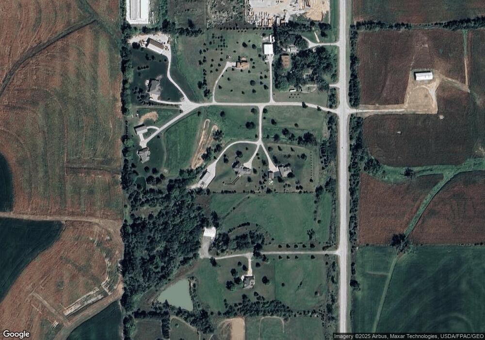
Map
Nearby Homes
- 16555 S 222nd Plaza
- 16651 S 226th Plaza
- 16677 S 222nd Plaza
- 16575 S 226th Plaza
- 16525 S 226th Plaza
- 16522 S 226th Plaza
- 22756 Dune Ct
- 22755 Dune Ct
- 22653 Dune Ct
- Lot 24 Wynnwood
- Lot 8 Signal Hill
- 21804 Hackberry Dr
- Albany Plan at Gruenther Ridge
- Lansing Plan at Gruenther Ridge
- Madison Plan at Gruenther Ridge
- Lincoln Plan at Gruenther Ridge
- Harrisburg Plan at Gruenther Ridge
- Montgomery 1734 Plan at Gruenther Ridge
- Montgomery 1892 Plan at Gruenther Ridge
- Jackson Plan at Gruenther Ridge
- 15690 S Highway 31
- 15690 S Highway 31
- 15648 S Highway 31
- 15606 S Highway 31
- 15858 S Highway 31
- 15510 S Highway 31
- 15624 S Highway 31
- 15502 S Highway 31
- 15601 S Highway 31
- 21750 Mandy Ln
- 21722 Mandy Ln
- 21646 Mandy Ln
- 21818 Mandy Ln
- 21844 Mandy Ln
- 21635 Mandy Ln
- 21789 Mandy Ln
- 21845 Mandy Ln
- 21757 Mandy Ln
- 21616 Pflug Rd
- 21730 Pflug Rd