15676 112th St NW South Haven, MN 55382
Estimated Value: $427,000 - $491,000
3
Beds
3
Baths
1,420
Sq Ft
$318/Sq Ft
Est. Value
About This Home
This home is located at 15676 112th St NW, South Haven, MN 55382 and is currently estimated at $452,107, approximately $318 per square foot. 15676 112th St NW is a home located in Wright County with nearby schools including Annandale Elementary School, Annandale Middle School, and Annandale Senior High School.
Ownership History
Date
Name
Owned For
Owner Type
Purchase Details
Closed on
Sep 29, 1999
Sold by
Bartlett Merritt L
Bought by
Wisdom Charles E
Current Estimated Value
Purchase Details
Closed on
Sep 24, 1999
Sold by
Bartlett Marilyn M and Bartlett Merritt L
Bought by
Wisdom Cari L and Wisdom Charles E
Create a Home Valuation Report for This Property
The Home Valuation Report is an in-depth analysis detailing your home's value as well as a comparison with similar homes in the area
Home Values in the Area
Average Home Value in this Area
Purchase History
| Date | Buyer | Sale Price | Title Company |
|---|---|---|---|
| Wisdom Charles E | $20,000 | -- | |
| Wisdom Cari L | $20,000 | -- |
Source: Public Records
Mortgage History
| Date | Status | Borrower | Loan Amount |
|---|---|---|---|
| Closed | Wisdom Cari L | -- |
Source: Public Records
Tax History Compared to Growth
Tax History
| Year | Tax Paid | Tax Assessment Tax Assessment Total Assessment is a certain percentage of the fair market value that is determined by local assessors to be the total taxable value of land and additions on the property. | Land | Improvement |
|---|---|---|---|---|
| 2025 | $2,826 | $414,200 | $108,200 | $306,000 |
| 2024 | $2,790 | $396,200 | $101,900 | $294,300 |
| 2023 | $2,506 | $394,500 | $101,900 | $292,600 |
| 2022 | $2,556 | $328,300 | $70,000 | $258,300 |
| 2021 | $2,596 | $296,400 | $64,400 | $232,000 |
| 2020 | $2,640 | $289,500 | $64,400 | $225,100 |
| 2019 | $2,488 | $286,500 | $0 | $0 |
| 2018 | $2,206 | $257,800 | $0 | $0 |
| 2017 | $1,996 | $234,100 | $0 | $0 |
| 2016 | $1,948 | $0 | $0 | $0 |
| 2015 | $1,862 | $0 | $0 | $0 |
| 2014 | -- | $0 | $0 | $0 |
Source: Public Records
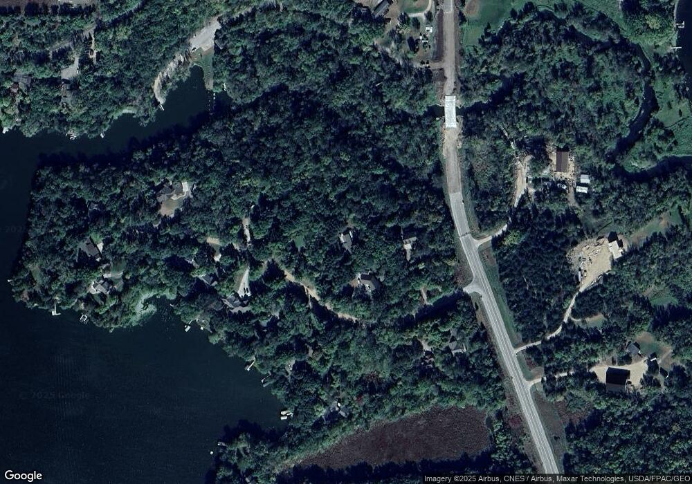
Map
Nearby Homes
- 10848 Porter Ave NW
- 14XXX County Road 44
- 16698 109th St NW
- 10368 Oliver Ave NW
- 10399 Reardon Ave NW
- 13943 102nd St NW
- 13934 101st St NW
- 8537 Pittman Ave NW
- 13496 Campfire Cir
- 2060 Clearwater Forest Dr
- 0 80th St NW
- South Tract A TBD County Road 45
- North Tract B TBD County Road 45
- 125 Cedar St SE
- 148 Cedar St SE
- 118 Cedar St SE
- 847 Walnut Ave SE
- 7327 Quinn Ave NW
- 226 Quill St NE
- 451 Linden Ave E
- 15626 112th St NW
- 15600 112th St NW
- 15600 112th St NW
- 0 112th St NW
- 15720 112th St NW
- Lot 6 112th St NW
- 15687 112th St NW
- 15667 112th St NW
- 15707 112th St NW
- 15605 112th St NW
- 15647 112th St NW
- 0 Platt Ave Unit 3674113
- 0 Platt Ave Unit 3905883
- 0 Platt Ave Unit 4378108
- 0 Platt Ave Unit 3520400
- 15735 112th St NW
- 15794 112th St NW
- 10883 109th St NW
- 4884 Birchdale Rd
- 11178 Pittman Ave NW