15678 15678 109th-Street-nw South Haven, MN 55382
Estimated Value: $597,000 - $737,000
4
Beds
3
Baths
2,230
Sq Ft
$307/Sq Ft
Est. Value
About This Home
This home is located at 15678 15678 109th-Street-nw, South Haven, MN 55382 and is currently estimated at $685,432, approximately $307 per square foot. 15678 15678 109th-Street-nw is a home located in Wright County with nearby schools including Annandale Elementary School, Annandale Middle School, and Annandale Senior High School.
Ownership History
Date
Name
Owned For
Owner Type
Purchase Details
Closed on
Apr 29, 2016
Sold by
Neumann James L
Bought by
Haataja Philip Alan and Haataja Cindy Kaye
Current Estimated Value
Purchase Details
Closed on
Jan 15, 2002
Sold by
Sundberg Darrell W and Sundberg Darlene M
Bought by
Wirth Ronald C and Wirth Angelina R
Create a Home Valuation Report for This Property
The Home Valuation Report is an in-depth analysis detailing your home's value as well as a comparison with similar homes in the area
Home Values in the Area
Average Home Value in this Area
Purchase History
| Date | Buyer | Sale Price | Title Company |
|---|---|---|---|
| Haataja Philip Alan | $437,500 | Heartland Title Llc | |
| Wirth Ronald C | $150,000 | -- |
Source: Public Records
Tax History Compared to Growth
Tax History
| Year | Tax Paid | Tax Assessment Tax Assessment Total Assessment is a certain percentage of the fair market value that is determined by local assessors to be the total taxable value of land and additions on the property. | Land | Improvement |
|---|---|---|---|---|
| 2025 | $5,094 | $632,000 | $237,900 | $394,100 |
| 2024 | $4,726 | $644,100 | $249,600 | $394,500 |
| 2023 | $3,706 | $632,000 | $237,900 | $394,100 |
| 2022 | $3,792 | $450,300 | $107,800 | $342,500 |
| 2021 | $4,022 | $404,600 | $101,200 | $303,400 |
| 2020 | $4,050 | $413,200 | $121,900 | $291,300 |
| 2019 | $4,156 | $406,700 | $0 | $0 |
| 2018 | $3,988 | $414,000 | $0 | $0 |
| 2017 | $3,602 | $407,700 | $0 | $0 |
| 2016 | $3,420 | $0 | $0 | $0 |
| 2015 | $3,222 | $0 | $0 | $0 |
| 2014 | -- | $0 | $0 | $0 |
Source: Public Records
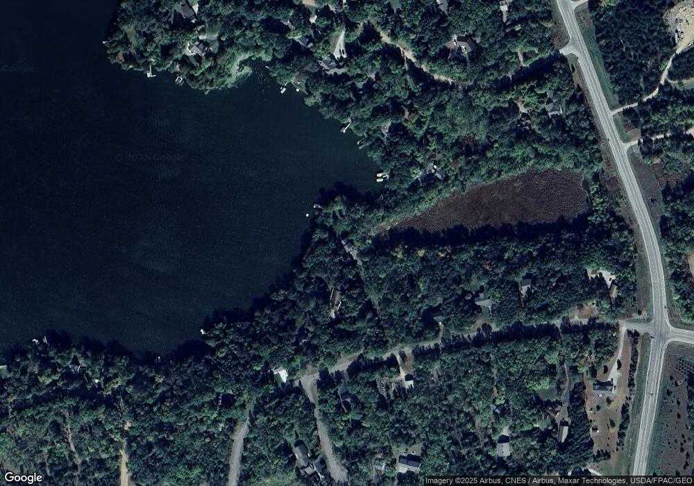
Map
Nearby Homes
- 10848 Porter Ave NW
- 16698 109th St NW
- 10368 Oliver Ave NW
- 14XXX County Road 44
- 10399 Reardon Ave NW
- 13943 102nd St NW
- 13934 101st St NW
- 8537 Pittman Ave NW
- 13496 Campfire Cir
- 2060 Clearwater Forest Dr
- 0 80th St NW
- 125 Cedar St SE
- 148 Cedar St SE
- 118 Cedar St SE
- 847 Walnut Ave SE
- South Tract A TBD County Road 45
- North Tract B TBD County Road 45
- 7327 Quinn Ave NW
- 531 Hazel Ave E
- 226 Quill St NE
- 15678 109th St NW
- 15704 109th St NW
- 15646 109th St NW
- 15722 109th St NW
- 15606 109th St NW
- 15683 109th St NW
- 15717 109th St NW
- 15752 109th St NW
- 15647 112th St NW
- 15588 109th St NW
- 15667 112th St NW
- 15687 112th St NW
- 15615 109th St NW
- 15776 109th St NW
- 10853 Platt Ave NW
- 10828 Platt Ave NW
- 0 Platt Ave Unit 3674113
- 0 Platt Ave Unit 3905883
- 0 Platt Ave Unit 4378108
- 0 Platt Ave Unit 3520400