1568 N 2000 Rd Lawrence, KS 66044
Estimated Value: $592,000 - $679,000
About This Home
This home is located at 1568 N 2000 Rd, Lawrence, KS 66044 and is currently estimated at $626,065, approximately $195 per square foot. 1568 N 2000 Rd is a home located in Douglas County with nearby schools including Woodlawn Elementary School, Liberty Memorial Central Middle School, and Lawrence Free State High School.
Ownership History
We collect this data history from publicly available records. To have your information removed, we recommend requesting removal directly through your county’s website.
Purchase Details
Home Financials for this Owner
Home Financials are based on the most recent Mortgage that was taken out on this home.Purchase Details
Purchase Details
Home Financials for this Owner
Home Financials are based on the most recent Mortgage that was taken out on this home.Purchase History
We collect this data history from publicly available records. To have your information removed, we recommend requesting removal directly through your county’s website.
| Date | Buyer | Sale Price | Title Company |
|---|---|---|---|
| -- | Capital Title Ins Company Lc | ||
| -- | None Available | ||
| -- | Capital Title Ins Co Lc |
Mortgage History
We collect this data history from publicly available records. To have your information removed, we recommend requesting removal directly through your county’s website.
| Date | Status | Borrower | Loan Amount |
|---|---|---|---|
| Closed | $200,000 | ||
| Closed | $325,000 | ||
| Closed | $319,900 |
Tax History
We collect this data history from publicly available records. To have your information removed, we recommend requesting removal directly through your county’s website.
| Year | Tax Paid | Tax Assessment Tax Assessment Total Assessment is a certain percentage of the fair market value that is determined by local assessors to be the total taxable value of land and additions on the property. | Land | Improvement |
|---|---|---|---|---|
| 2025 | $6,916 | $59,713 | $8,104 | $51,609 |
| 2024 | $6,826 | $58,712 | $8,104 | $50,608 |
| 2023 | $6,472 | $53,813 | $7,546 | $46,267 |
| 2022 | $6,060 | $50,239 | $6,431 | $43,808 |
| 2021 | $5,290 | $42,541 | $6,431 | $36,110 |
| 2020 | $4,983 | $40,343 | $6,431 | $33,912 |
| 2019 | $4,881 | $39,434 | $5,762 | $33,672 |
| 2018 | $4,395 | $36,571 | $5,650 | $30,921 |
| 2017 | $4,410 | $36,266 | $5,650 | $30,616 |
| 2016 | $3,987 | $34,097 | $7,852 | $26,245 |
| 2015 | $4,009 | $34,097 | $7,852 | $26,245 |
| 2014 | $4,090 | $35,754 | $7,852 | $27,902 |
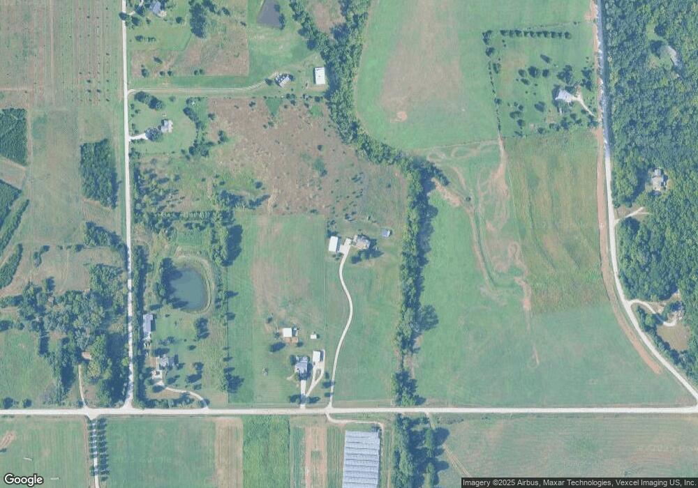
Map
- 1431 N 1900 Rd
- 1903 E 1400 Rd
- 0000 Chieftain Rd
- 25865 Primrose Ln
- 00000 Wild Horse Rd
- 18793 21st St
- 1568 Wellman Rd
- 630 N 5th St
- 328 Lyon St
- 1905 River Ridge Rd
- 505 Shoal Ln
- 1951 Wellman Rd
- 516 N 7th St
- 40 Acres M/L 246th St
- 255 N Michigan St Unit Bdg 11- Apt 56
- 24305 Loring Rd
- 404 Elm St
- 213 N 6th St
- Lot 8 Cantrell Rd
- Lot 10 Cantrell Rd
- Lt 3&4 254th St
- 747 1/ New York St
- Lot 4 243rd & Stillwell Rd
- Land Chieftain Rd
- 254th Stillwell Rd
- 6 Investments St
- 1562 N 2000 Rd
- 2026 E 1550 Rd
- 2022 E 1550 Rd
- 1556 N 2000 Rd
- 2027 E 1600 Rd
- 246th Loring Rd
- 0000 246th Rd Unit 75 acres
- 40 acres 246th St
- 75 acres 246th St
- Lots 1-9 Ethel Ct
- Lot 10 E 19
- Land N 9
- Parcel 5 N 1900 Rd
- Land K32 Hwy & 250 Rd
Ask me questions while you tour the home.