1568 N Farm Road 227 Strafford, MO 65757
Southeast Springfield NeighborhoodEstimated Value: $706,000 - $1,369,000
4
Beds
6
Baths
6,174
Sq Ft
$162/Sq Ft
Est. Value
About This Home
This home is located at 1568 N Farm Road 227, Strafford, MO 65757 and is currently estimated at $1,003,178, approximately $162 per square foot. 1568 N Farm Road 227 is a home located in Greene County with nearby schools including Strafford Elementary School, Strafford Middle School, and Strafford High School.
Ownership History
Date
Name
Owned For
Owner Type
Purchase Details
Closed on
Sep 21, 2007
Sold by
Sunderwirth William C and Sunderwirth Karen L
Bought by
New Covenant Academy
Current Estimated Value
Purchase Details
Closed on
Sep 19, 2007
Sold by
Sunderwirth William C and Sunderwirth Karen L
Bought by
Reichard Mary Elizabeth Hammer and The Mary Elizabeth Hammer Reichard Revoc
Purchase Details
Closed on
Aug 5, 2005
Sold by
Johnson Kenneth and Jphnson Barbara
Bought by
Sunderwirth Karen L and Karen L Sunderwirth Trust
Create a Home Valuation Report for This Property
The Home Valuation Report is an in-depth analysis detailing your home's value as well as a comparison with similar homes in the area
Home Values in the Area
Average Home Value in this Area
Purchase History
| Date | Buyer | Sale Price | Title Company |
|---|---|---|---|
| New Covenant Academy | -- | None Available | |
| Reichard Mary Elizabeth Hammer | -- | None Available | |
| Sunderwirth Karen L | -- | None Available |
Source: Public Records
Tax History Compared to Growth
Tax History
| Year | Tax Paid | Tax Assessment Tax Assessment Total Assessment is a certain percentage of the fair market value that is determined by local assessors to be the total taxable value of land and additions on the property. | Land | Improvement |
|---|---|---|---|---|
| 2025 | $4,516 | $90,220 | $13,550 | $76,670 |
| 2024 | $4,516 | $82,730 | $10,380 | $72,350 |
| 2023 | $4,547 | $82,730 | $10,380 | $72,350 |
| 2022 | $3,761 | $72,210 | $10,380 | $61,830 |
| 2021 | $3,539 | $72,210 | $10,380 | $61,830 |
| 2020 | $3,387 | $67,980 | $10,380 | $57,600 |
| 2019 | $3,375 | $67,980 | $10,380 | $57,600 |
| 2018 | $3,072 | $61,430 | $10,440 | $50,990 |
| 2017 | $3,046 | $61,390 | $10,440 | $50,950 |
| 2016 | $3,032 | $67,340 | $10,440 | $56,900 |
| 2015 | $3,323 | $67,340 | $10,440 | $56,900 |
| 2014 | $3,305 | $66,440 | $10,400 | $56,040 |
Source: Public Records
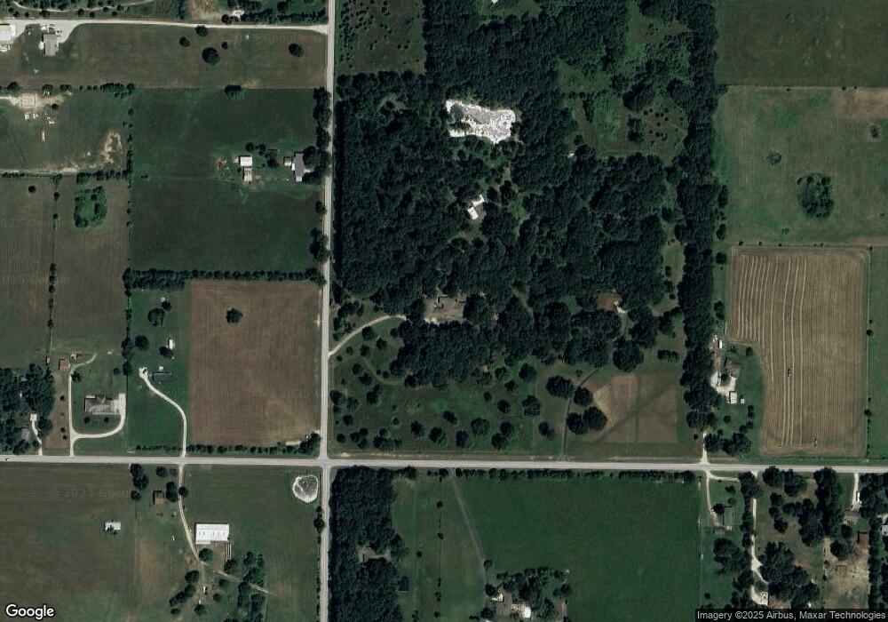
Map
Nearby Homes
- 000 E State Highway Yy
- 1297 Missouri 125
- 7990 E Farm Road 116
- 2991 N State Highway 125
- Lot 2 Farm Road 134
- 9386 E Maple Ridge Ln
- Lot 3 Farm Road 134
- Lot 6 Farm Road 134
- Lot 8 Farm Road 134
- Lot 7 Farm Road 134
- Lot 11 Farm Road 134
- Lot 13 Farm Road 134
- Lot 10 Farm Road 134
- Lot 12 Farm Road 134
- 8890 E State Highway Ad
- 807 S Stanford Dr
- 0 Woodlawn Cir
- 109 W Elm St
- Lot 35 Vintage Pointe
- 2025 N Unbridled Ct
- 7805 E Division St
- 000 N Farm Road 227
- 1468 N Farm Road 227
- 7635 E State Highway Yy
- 8431 E Division
- 7915 E Division St
- 7774 E Division St
- 1753 N Farm Road 227
- 7608 E State Highway Yy
- 7575 E State Highway Yy
- 7902 E Division St
- 1384 N Farm Road 227
- 1815 N Farm Road 227
- 1781 N Farm Road 227
- 7507 E Division St
- 1376 N Farm Road 227
- 7545 E State Highway Yy
- 7507 E State Highway Yy
- 7938 E Division St
- 7976 E Division St