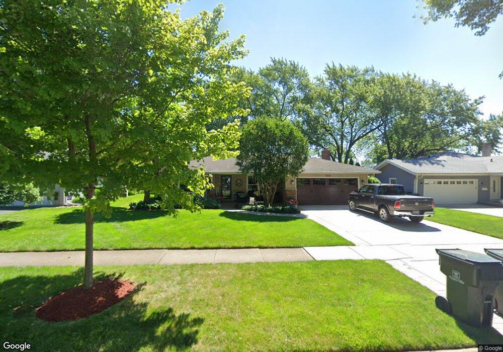
1568 Swallow St Naperville, IL 60565
Maple Brook NeighborhoodEstimated Value: $457,534 - $557,000
--
Bed
--
Bath
1,964
Sq Ft
$255/Sq Ft
Est. Value
About This Home
This home is located at 1568 Swallow St, Naperville, IL 60565 and is currently estimated at $501,384, approximately $255 per square foot. 1568 Swallow St is a home located in DuPage County with nearby schools including Maplebrook Elementary School, Lincoln Jr. High School, and Naperville Central High School.
Ownership History
Date
Name
Owned For
Owner Type
Purchase Details
Closed on
Nov 5, 2024
Sold by
Hursh Jeffrey A and Hursh Dawn M
Bought by
Jeffrey A Hursh And Dawn M Hursh Trust and Hursh
Current Estimated Value
Purchase Details
Closed on
Jan 11, 1994
Sold by
Shaw Fred M and Shaw Mary S
Bought by
Hursh Jeffrey A and Hursh Dawn M
Home Financials for this Owner
Home Financials are based on the most recent Mortgage that was taken out on this home.
Original Mortgage
$118,000
Interest Rate
7.31%
Create a Home Valuation Report for This Property
The Home Valuation Report is an in-depth analysis detailing your home's value as well as a comparison with similar homes in the area
Home Values in the Area
Average Home Value in this Area
Purchase History
| Date | Buyer | Sale Price | Title Company |
|---|---|---|---|
| Jeffrey A Hursh And Dawn M Hursh Trust | -- | None Listed On Document | |
| Hursh Jeffrey A | $147,500 | -- |
Source: Public Records
Mortgage History
| Date | Status | Borrower | Loan Amount |
|---|---|---|---|
| Previous Owner | Hursh Jeffrey A | $118,000 |
Source: Public Records
Tax History Compared to Growth
Tax History
| Year | Tax Paid | Tax Assessment Tax Assessment Total Assessment is a certain percentage of the fair market value that is determined by local assessors to be the total taxable value of land and additions on the property. | Land | Improvement |
|---|---|---|---|---|
| 2024 | $7,694 | $133,599 | $66,882 | $66,717 |
| 2023 | $7,403 | $121,930 | $61,040 | $60,890 |
| 2022 | $7,127 | $116,120 | $58,130 | $57,990 |
| 2021 | $6,514 | $111,730 | $55,930 | $55,800 |
| 2020 | $6,715 | $109,720 | $54,920 | $54,800 |
| 2019 | $6,514 | $104,970 | $52,540 | $52,430 |
| 2018 | $6,348 | $102,410 | $51,260 | $51,150 |
| 2017 | $6,216 | $98,950 | $49,530 | $49,420 |
| 2016 | $6,087 | $95,370 | $47,740 | $47,630 |
| 2015 | $6,041 | $89,810 | $44,960 | $44,850 |
| 2014 | $5,920 | $85,530 | $42,820 | $42,710 |
| 2013 | $5,831 | $85,730 | $42,920 | $42,810 |
Source: Public Records
Map
Nearby Homes
- 128 E Bailey Rd Unit G
- 1751 S Washington St Unit 1
- 138 E Bailey Rd Unit M
- 158 E Bailey Rd Unit F
- 1408 Swallow St
- 213 Winding Creek Dr
- 1449 Whitespire Ct Unit 5104
- 621 Bourbon Ct
- 8S452 Bell Dr
- 517 Sheffield Rd
- 1921 Wisteria Ct Unit 3
- 1443 Meander Dr
- 302 Carriage Hill Rd
- 303 Cedarbrook Rd
- 336 Brooklea Ct
- 23 Glencoe Ct Unit 202B
- 47 Glencoe Ct Unit 102D
- 2132 Berkley Ct Unit 201A
- 165 Tamarack Ave
- 344 Waxwing Ave
- 1564 Swallow St
- 1572 Swallow St
- 1560 Swallow St
- 5 W Bailey Rd
- 1556 Swallow St
- 1569 Swallow St
- 1565 Swallow St
- 1573 Swallow St
- 1561 Swallow St
- 9 W Bailey Rd
- 1552 Swallow St
- 4 W Bailey Rd
- 1548 Swallow St
- 1553 Swallow St
- 1564 Killdeer Dr
- 1568 Killdeer Dr
- 17 W Bailey Rd
- 1560 Killdeer Dr
- 1608 Swallow St
- 1572 Killdeer Dr