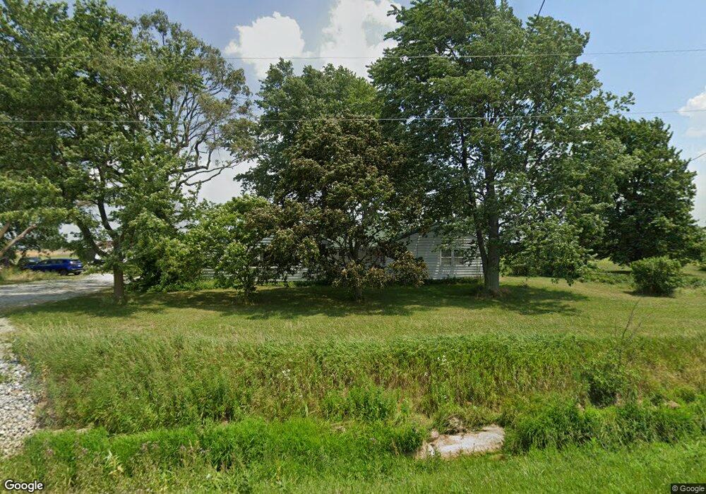
1568 Wingston Rd North Baltimore, OH 45872
Estimated Value: $303,000 - $375,566
3
Beds
2
Baths
2,256
Sq Ft
$147/Sq Ft
Est. Value
About This Home
This home is located at 1568 Wingston Rd, North Baltimore, OH 45872 and is currently estimated at $330,522, approximately $146 per square foot. 1568 Wingston Rd is a home located in Wood County with nearby schools including E.A. Powell Elementary School, North Baltimore Middle School, and North Baltimore High School.
Ownership History
Date
Name
Owned For
Owner Type
Purchase Details
Closed on
Dec 17, 2010
Sold by
Estate Of Henry C Matthes Jr
Bought by
Matthes Henry C and Matthes Anthony W
Current Estimated Value
Purchase Details
Closed on
Jul 23, 2001
Sold by
Carl Matthes Henry
Bought by
Matthes Eloise P
Home Financials for this Owner
Home Financials are based on the most recent Mortgage that was taken out on this home.
Original Mortgage
$51,240
Interest Rate
7.16%
Purchase Details
Closed on
Jan 1, 1990
Bought by
Matthes Dorothy H
Create a Home Valuation Report for This Property
The Home Valuation Report is an in-depth analysis detailing your home's value as well as a comparison with similar homes in the area
Home Values in the Area
Average Home Value in this Area
Purchase History
| Date | Buyer | Sale Price | Title Company |
|---|---|---|---|
| Matthes Henry C | -- | None Available | |
| Matthes Eloise P | -- | -- | |
| Matthes Dorothy H | -- | -- |
Source: Public Records
Mortgage History
| Date | Status | Borrower | Loan Amount |
|---|---|---|---|
| Previous Owner | Matthes Eloise P | $51,240 |
Source: Public Records
Tax History Compared to Growth
Tax History
| Year | Tax Paid | Tax Assessment Tax Assessment Total Assessment is a certain percentage of the fair market value that is determined by local assessors to be the total taxable value of land and additions on the property. | Land | Improvement |
|---|---|---|---|---|
| 2024 | $2,577 | $92,820 | $66,360 | $26,460 |
| 2023 | $2,577 | $92,820 | $66,360 | $26,460 |
| 2021 | $2,564 | $76,660 | $54,850 | $21,810 |
| 2020 | $2,459 | $76,660 | $54,850 | $21,810 |
| 2019 | $2,808 | $70,320 | $52,430 | $17,890 |
| 2018 | $2,845 | $70,320 | $52,430 | $17,890 |
| 2017 | $2,915 | $70,320 | $52,430 | $17,890 |
| 2016 | $2,749 | $56,530 | $41,200 | $15,330 |
| 2015 | $2,749 | $56,530 | $41,200 | $15,330 |
| 2014 | $2,914 | $56,530 | $41,200 | $15,330 |
| 2013 | $1,173 | $43,190 | $27,860 | $15,330 |
Source: Public Records
Map
Nearby Homes
- 508 W Walnut St
- 318 Belmont St
- 300 W Water St
- 233 & 235 N Main St
- 216 S Tarr St
- 227 E Broadway St
- 508 E Water St
- 128 Zihlman St
- 201 Briar Hill Rd
- 103 Smith St
- 109 Smith St
- 209 Rudolph Rd
- 215 Briar Hill Rd
- Lot 112 Foley Run
- 12078 Eagleville Rd
- 0 N Maple St
- 930 E Broadway St
- 687 State Route 235
- 0000 Eagleville Rd
- 11755 State Route 613