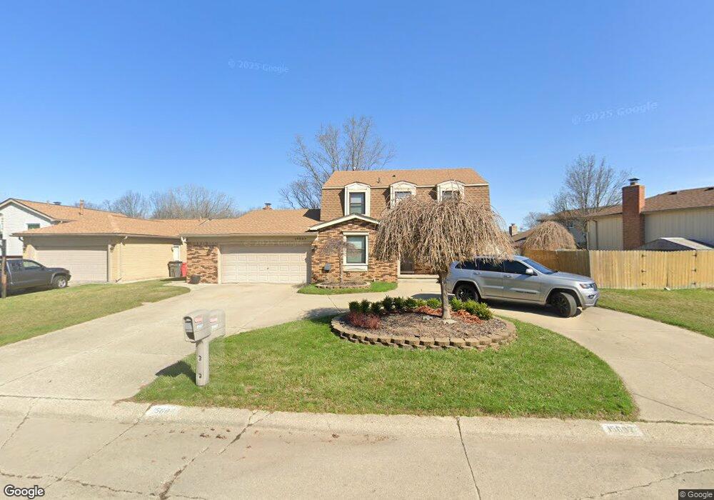
15687 Stockton Dr Clinton Township, MI 48038
Estimated Value: $360,000 - $386,000
--
Bed
1
Bath
2,325
Sq Ft
$160/Sq Ft
Est. Value
About This Home
This home is located at 15687 Stockton Dr, Clinton Township, MI 48038 and is currently estimated at $371,626, approximately $159 per square foot. 15687 Stockton Dr is a home located in Macomb County with nearby schools including Huron Elementary School, Wyandot Middle School, and Chippewa Valley High School.
Ownership History
Date
Name
Owned For
Owner Type
Purchase Details
Closed on
Dec 12, 2024
Sold by
Baysdell Mark and Baysdell Melissa
Bought by
Baysdell Devin
Current Estimated Value
Purchase Details
Closed on
May 20, 2003
Sold by
Nauts Gary R
Bought by
Baysdell Mark and Baysdell Melissa
Purchase Details
Closed on
Aug 11, 1995
Sold by
Concetta M Chackman
Bought by
Gary R Nauts
Create a Home Valuation Report for This Property
The Home Valuation Report is an in-depth analysis detailing your home's value as well as a comparison with similar homes in the area
Home Values in the Area
Average Home Value in this Area
Purchase History
| Date | Buyer | Sale Price | Title Company |
|---|---|---|---|
| Baysdell Devin | -- | None Listed On Document | |
| Baysdell Devin | -- | None Listed On Document | |
| Baysdell Mark | $215,000 | Metropolitan Title Company | |
| Gary R Nauts | $139,000 | -- |
Source: Public Records
Tax History Compared to Growth
Tax History
| Year | Tax Paid | Tax Assessment Tax Assessment Total Assessment is a certain percentage of the fair market value that is determined by local assessors to be the total taxable value of land and additions on the property. | Land | Improvement |
|---|---|---|---|---|
| 2025 | $4,103 | $167,600 | $0 | $0 |
| 2024 | $2,444 | $155,400 | $0 | $0 |
| 2023 | $2,318 | $137,800 | $0 | $0 |
| 2022 | $3,717 | $128,300 | $0 | $0 |
| 2021 | $3,615 | $124,800 | $0 | $0 |
| 2020 | $2,127 | $122,100 | $0 | $0 |
| 2019 | $3,368 | $114,100 | $0 | $0 |
| 2018 | $3,428 | $103,800 | $0 | $0 |
| 2017 | $3,268 | $97,700 | $20,000 | $77,700 |
| 2016 | $3,248 | $97,700 | $0 | $0 |
| 2015 | -- | $91,800 | $0 | $0 |
| 2014 | -- | $86,300 | $0 | $0 |
| 2011 | -- | $78,100 | $17,100 | $61,000 |
Source: Public Records
Map
Nearby Homes
- 15599 Stockton Dr
- 39519 Twenlow Dr
- 15730 Lorway Dr
- 39575 Old Dominion Dr
- 39551 Heatherheath Dr Unit 2
- 39237 Sunderland Dr
- 39563 Heatherheath Dr
- 15775 Nader Ct
- 15332 Renshaw Dr Unit 115
- 39348 Heatherheath Dr Unit 7
- 39043 Cadborough Dr
- 16136 Amore St
- 15492 S Royal Doulton Blvd
- 40883 Highpointe Dr Unit 40
- 40739 Ruggero St
- 40945 Magnolia Dr W Unit 5
- 16513 Edinburgh Dr
- 16583 Waverly Cir Unit 8
- 14942 Congress Dr
- 16447 Woodstream Dr
- 15677 Stockton Dr
- 15699 Stockton Dr
- 39875 Chaffer St
- 15663 Stockton Dr
- 15668 Grainger Dr
- 15646 Grainger Dr
- 15690 Stockton Dr
- 15647 Stockton Dr
- 15698 Stockton Dr
- 15670 Stockton Dr Unit Bldg-Unit
- 15670 Stockton Dr
- 15618 Grainger Dr
- 39995 Twenlow Dr
- 15631 Stockton Dr
- 39886 Coalport Dr
- 39864 Chaffer St
- 39848 Chaffer St
- 15604 Grainger Dr
- 39882 Coalport Dr
- 15691 Grainger Dr