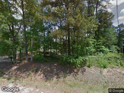
1569 Airport Rd Oxford, GA 30054
Lake Varner NeighborhoodEstimated Value: $179,000 - $250,158
3
Beds
2
Baths
1,697
Sq Ft
$127/Sq Ft
Est. Value
About This Home
This home is located at 1569 Airport Rd, Oxford, GA 30054 and is currently estimated at $215,040, approximately $126 per square foot. 1569 Airport Rd is a home located in Newton County with nearby schools including Flint Hill Elementary School, Cousins Middle School, and Eastside High School.
Ownership History
Date
Name
Owned For
Owner Type
Purchase Details
Closed on
May 10, 2019
Sold by
Strickland Alice R
Bought by
Torres Francisco
Current Estimated Value
Home Financials for this Owner
Home Financials are based on the most recent Mortgage that was taken out on this home.
Original Mortgage
$101,850
Outstanding Balance
$90,289
Interest Rate
4.1%
Mortgage Type
New Conventional
Estimated Equity
$124,751
Purchase Details
Closed on
Aug 29, 2003
Sold by
Strickland Alfred B
Bought by
Strickland Alfred B
Home Financials for this Owner
Home Financials are based on the most recent Mortgage that was taken out on this home.
Original Mortgage
$66,500
Interest Rate
5.94%
Mortgage Type
New Conventional
Create a Home Valuation Report for This Property
The Home Valuation Report is an in-depth analysis detailing your home's value as well as a comparison with similar homes in the area
Home Values in the Area
Average Home Value in this Area
Purchase History
| Date | Buyer | Sale Price | Title Company |
|---|---|---|---|
| Torres Francisco | $105,000 | -- | |
| Strickland Alice R | -- | -- | |
| Strickland Alfred B | -- | -- |
Source: Public Records
Mortgage History
| Date | Status | Borrower | Loan Amount |
|---|---|---|---|
| Open | Strickland Alice R | $101,850 | |
| Closed | Torres Francisco | $101,850 | |
| Closed | Torres Francisco | $4,200 | |
| Previous Owner | Strickland Alfred B | $66,500 |
Source: Public Records
Tax History Compared to Growth
Tax History
| Year | Tax Paid | Tax Assessment Tax Assessment Total Assessment is a certain percentage of the fair market value that is determined by local assessors to be the total taxable value of land and additions on the property. | Land | Improvement |
|---|---|---|---|---|
| 2024 | $2,061 | $81,360 | $10,480 | $70,880 |
| 2023 | $1,947 | $71,760 | $6,720 | $65,040 |
| 2022 | $1,629 | $60,040 | $6,720 | $53,320 |
| 2021 | $1,380 | $45,520 | $6,720 | $38,800 |
| 2020 | $1,371 | $40,800 | $6,240 | $34,560 |
| 2019 | $1,077 | $31,560 | $6,240 | $25,320 |
| 2018 | $1,046 | $30,480 | $6,240 | $24,240 |
| 2017 | $884 | $25,760 | $4,720 | $21,040 |
| 2016 | $825 | $24,040 | $3,000 | $21,040 |
| 2015 | $829 | $24,160 | $3,000 | $21,160 |
| 2014 | $827 | $24,160 | $0 | $0 |
Source: Public Records
Map
Nearby Homes
- 144 Flat Rock Rd
- 12417 Highway 142
- 230 Ryan Ln
- 140 Ryan Ln
- 160 Orchard Dr
- 309 Cornish Mountain Rd
- 359 Cornish Mountain Rd
- 110 Otelia Ln
- 60+ AC Byrd and Townley Rd
- 430 Gregory Rd
- 115 Cornish Trace Dr Unit lot 11
- 130 Wesleyan Way
- 95 Wesleyan Way
- 100 Orchard Ln
- 245 Carole Dr
- Lot 9 Wesleyan Way
- 0 City Pond Rd Unit 7538927
- 0 City Pond Rd Unit 10476135
- 2.44 ACRES City Pond Rd
- 75 Briar Patch Rd
- 1569 Airport Rd
- 1613 Airport Rd
- 1633 Airport Rd
- 1655 Airport Rd
- 1549 Airport Rd
- 1695 Airport Rd
- 12188 Highway 142
- 1703 Airport Rd
- 11850 Highway 142
- 1805 Airport Rd
- 11834 Highway 142
- 11825 Highway 142
- 11825 Georgia 142
- 55 Flat Rock Rd
- 75 Flat Rock Rd
- 75 Flat Rock Rd
- 117 Flat Rock Rd
- 37 Flat Rock Rd
- 45 Flat Rock Rd
- 35 Flat Rock Rd
